

Southern Africa – Guillaume Delisle, 1718-1726
€475
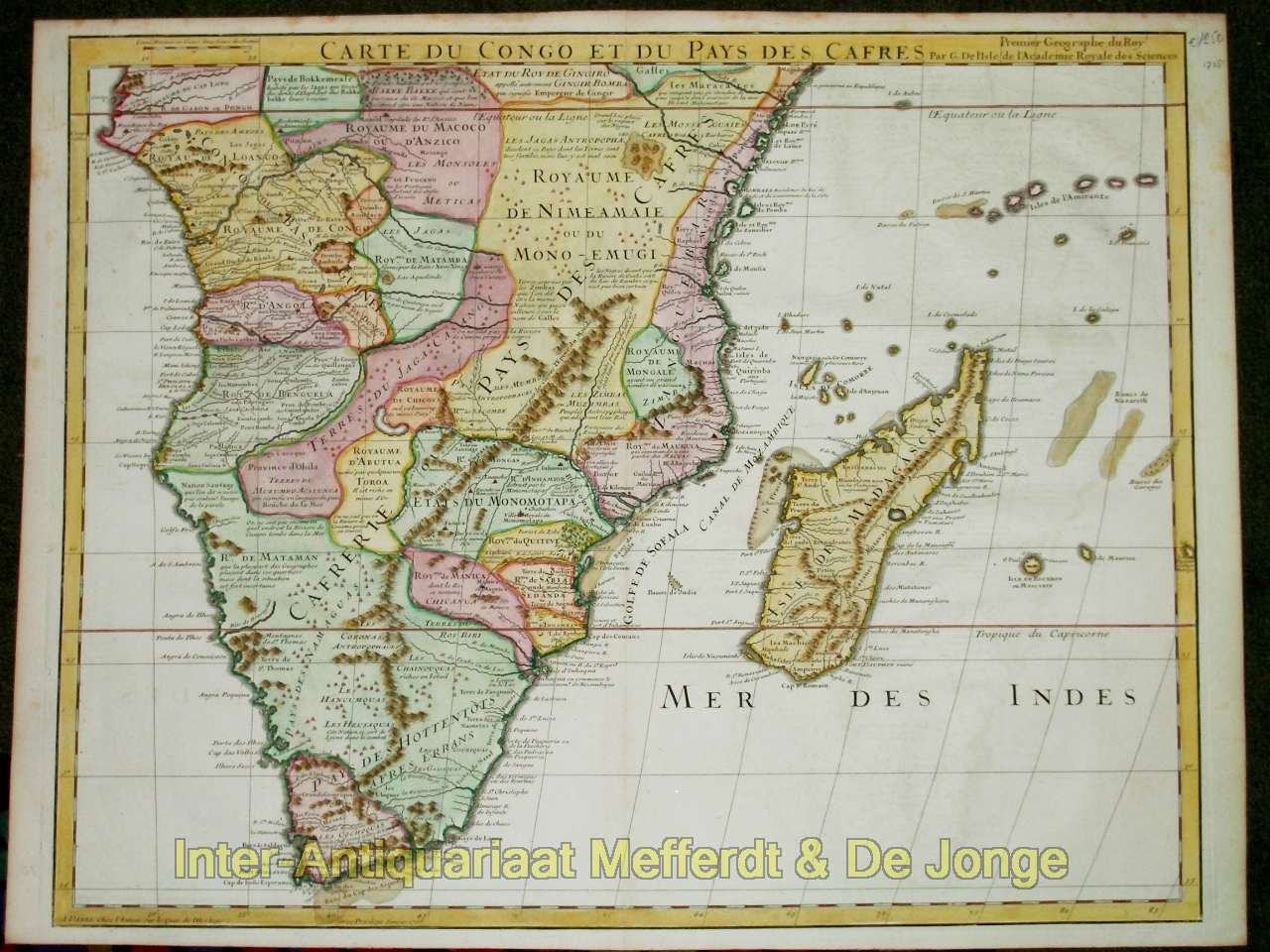
SOUTHERN AFRICA, CONGO AND MADAGASCAR, 1718–1726
“Carte du Congo et du Pays des Cafres” [Map of Congo and the Land of the Cafres], copper engraving by Guillaume Delisle, first published in Paris in January 1708, here in an edition dating from 1718–1726 (the years in which Delisle was entitled “Premier Géographe du Roi”). With original hand-colouring. Size 48 × 61 cm.
This large map covers virtually the whole of Africa south of the Equator, from the Atlantic coasts of Congo and Angola to Mozambique and the Indian Ocean, and southwards to the Cape of Good Hope. Madagascar, the Comoros and several islands in the western Indian Ocean are also shown. The interior is divided into numerous kingdoms and territories, including Congo, Angola, Benguela, Monomotapa and Monoemugi. The historical term Pays des Cafres was used by European geographers at the time for extensive, still poorly known regions of southern and south-eastern Africa.
The map clearly demonstrates how uneven European geographical knowledge of Africa still was at the beginning of the eighteenth century. The coastal regions, long frequented by Portuguese, Dutch and other European navigators, are shown in comparatively great detail and provided with numerous place names. Around the Cape of Good Hope, Dutch settlements are also indicated. Further inland, however, the information becomes increasingly sparse, and reliable reports are intermingled with older geographical traditions and uncertain travellers’ accounts.
It was precisely in this respect that Guillaume Delisle (1675–1726) distinguished himself from many seventeenth-century predecessors. He sought to critically assess inherited geographical concepts against recent travel accounts and astronomical observations. Thus he largely abandoned the traditional system, derived from Ptolemy, of large inland lakes and the ‘Mountains of the Moon’ as the sources of the Nile. At the same time, the still unknown interior continued to invite speculation. In the centre of the map, for example, appears a large unnamed lake which Delisle explicitly states was included on the basis of reports from Africans. Further south runs the imposing chain of the Montagnes de Lupata, described on the map as the “Échine du Monde” — the ‘backbone of the world’: a supposed extensive mountain range in the interior of south-eastern Africa which, on early modern European maps, was given a far greater extent than the actual mountain regions around the Zambezi River.
Price Euro 475,-
