

Utrecht – Isaak Ottens + Herman Saftleven, ca. 1720
€6.450
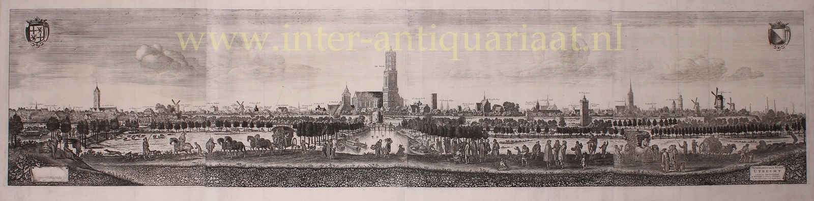
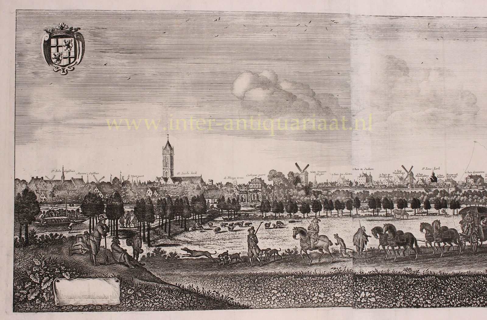
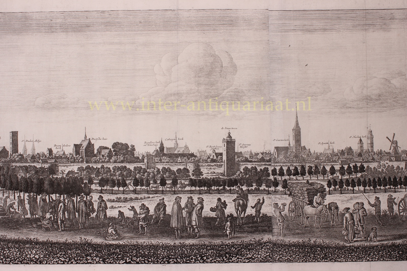
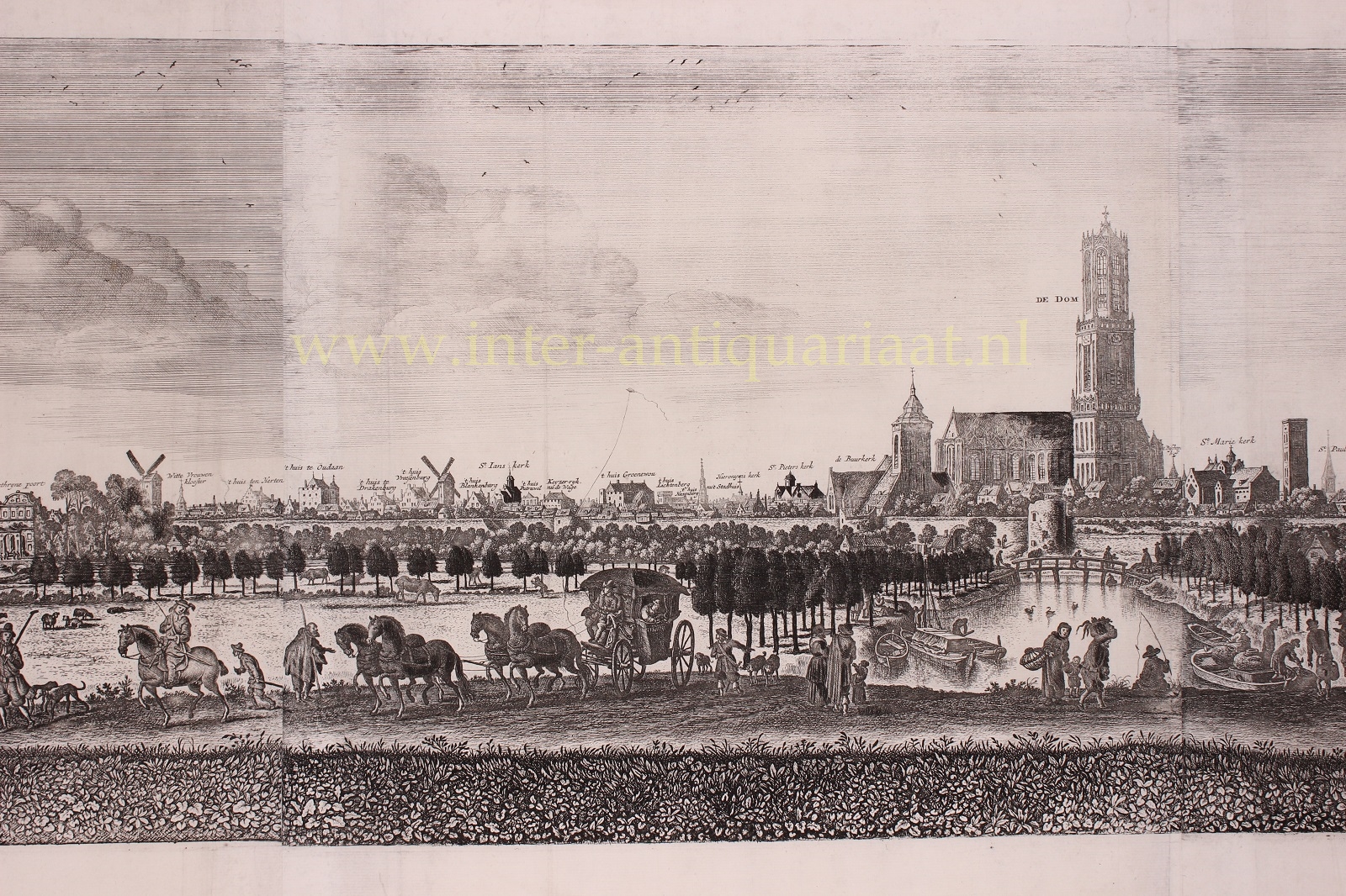
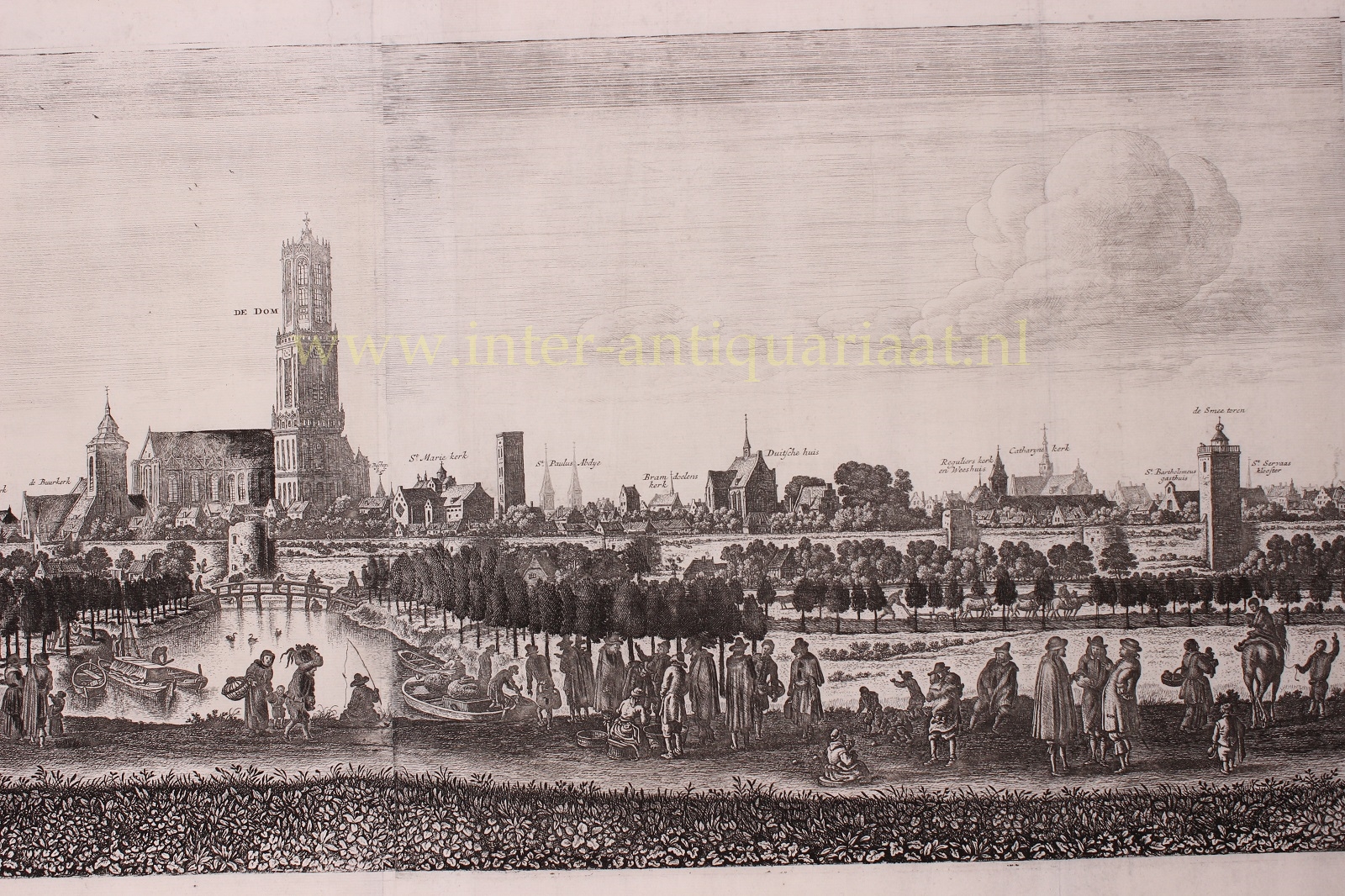
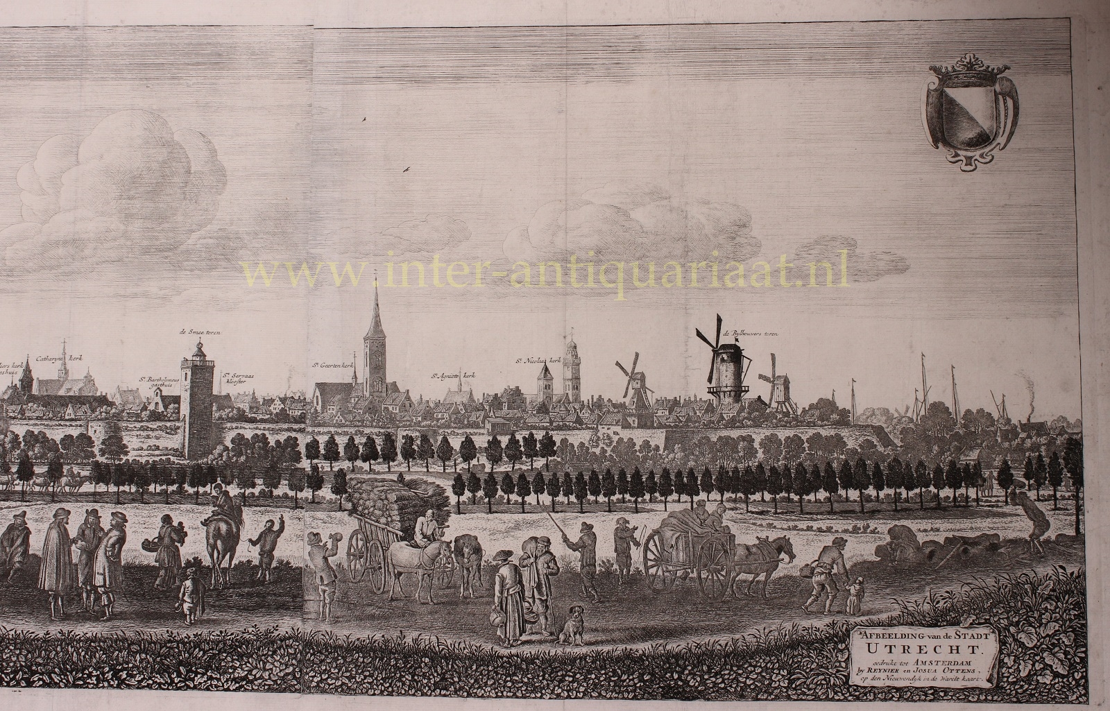
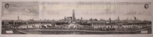
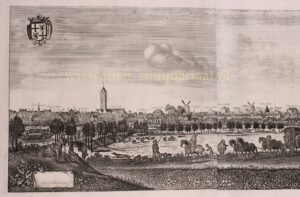
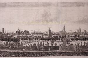
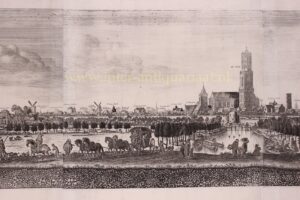
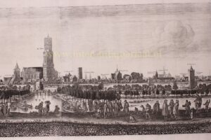
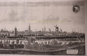
“Afbeelding van de Stadt Utrecht” [View of the City of Utrecht]. Copper engraving on four joined sheets, made by Herman Saftleven in 1669, here in an updated version by Isaak Ottens, published by his sons Reinier and Josua, c. 1720. Size: 35 × 154 cm.
Panoramic profile of the city of Utrecht seen from the west, with the coat of arms of the province in the upper left and that of the city of Utrecht in the upper right. It is “a very ancient, famous and magnificent city, situated on the middle course of the Rhine in Batavia.”
From left to right, the following buildings are depicted: St Job’s Hospital (for sufferers from syphilis), St Martin’s Hospital, the Weerdpoort (on the northern side of the present-day city centre, where the Weerdbrug now stands), the Jacobikerk (whose slender spire had been blown down during the great summer storm of 1674), the Plompetoren (one of the old defensive towers, demolished in 1832), the Catharijnepoort (one of the former principal landward entrances to the city, demolished in 1845), the Wittevrouwenklooster (demolished after a fire in 1710, but nevertheless still shown here), the Hertenhuis (a fortified urban residence that still survives today), Oudaen (another surviving fortified house on the Oudegracht), the fortified house Drakenburg (whose façade also collapsed during the storm of 1674), the fortified houses Fresenburch and Blankenburg, the Janskerk (on the Janskerkhof), the fortified house Putruwiel, the fortified house Keyserrijck (now incorporated into the Town Hall), the fortified house Groenewoude, the fortified house Lichtenberg (demolished in 1826), the Hasenberg house (part of the Town Hall, demolished in 1826), the church of the former Hieronymus Convent, St Peter’s Church, the Buurkerk (decommissioned as a church in 1975), Utrecht Cathedral (shown here after its nave had collapsed in 1674 through what was called the Donderbasuyne Godts, or “God’s thunder trumpet”), the Bishop’s Palace, the Mariakerk (demolished during the first half of the nineteenth century), the church of St Paul’s Abbey (demolished in 1707), the church of the Abraham Dole Convent, the chapel of the Teutonic House (whose church had likewise collapsed in 1674), the church of the Regulierenklooster (then used as an orphanage), St Catherine’s Church, St Bartholomew’s Hospital (for vagrants, the sick and the elderly), the Smeetoren (used for astronomical and meteorological observations and demolished around 1855), the tower of St Servatius’ Abbey (demolished in 1840), the Geertekerk, the chapel of the Agnietenklooster (then an orphanage for the children of craftsmen), the Nicolaikerk, and finally, at the far right, the Bijlhouwerstoren (used for hulling barley and producing pearl barley, and demolished in 1872).
The print was updated in 1684 to record the changes that had taken place since 1669. In particular, some of the church buildings damaged or destroyed during the devastating storm of 1674 were altered, as were the trees lining the city moat and those on either side of the Kruisvaart. It is interesting that in early eighteenth-century panoramas of Utrecht, the cathedral is often still shown in its full glory, complete with its nave. Apparently, depicting Utrecht with such a conspicuous gap in its most important building was considered visually unattractive.
Herman Saftleven was born in Rotterdam in 1609. He settled in Utrecht in 1632–1633. Although Saftleven had been comfortably well off during much of his life, he died in impoverished circumstances in 1685: his house at Achter St. Pieter 7 and its contents were sold at public auction by judicial decree.
Price: Euro 6.450,-
