

Dutch Republic – Covens & Mortier, ca. 1744
€3.250
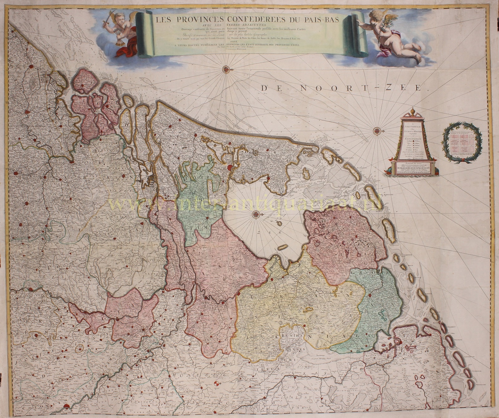


FIRST POSTAL MAP OF THE DUTCH REPUBLIC
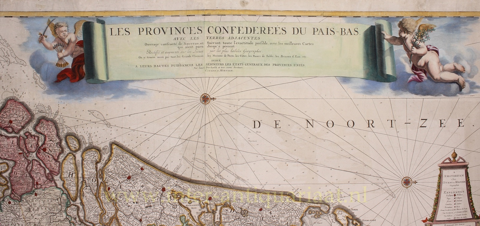
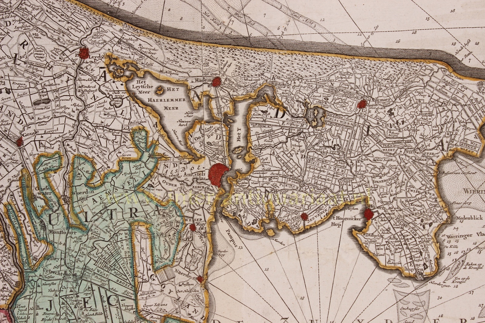
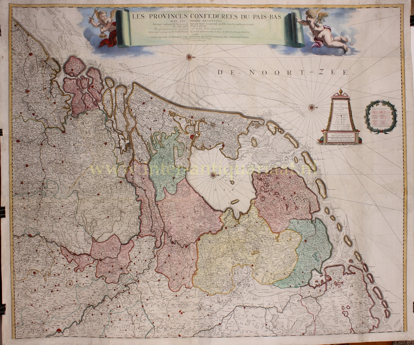
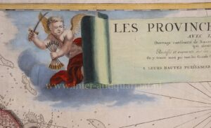
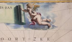
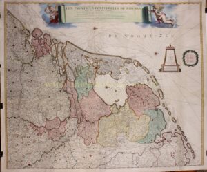
“Les Provinces Confedereés du Païs-Bas avec les Terres adjacentes”, copper engraving by Frederick de Wit, in this case published by Covens and Mortier around 1744. Coloured by a later hand. Size: 101 × 118 cm.
Around 1660, Frederick de Wit made a wall map of the Seventeen Provinces. At the time of its publication, it was the most up-to-date map with regard to the road network (“les Grands Chemins”). Politically, however, the map was already obsolete. The Dutch Republic had become a sovereign state under the Peace of Münster (1648), whereas De Wit’s map still covered a territory that included the Southern Netherlands.
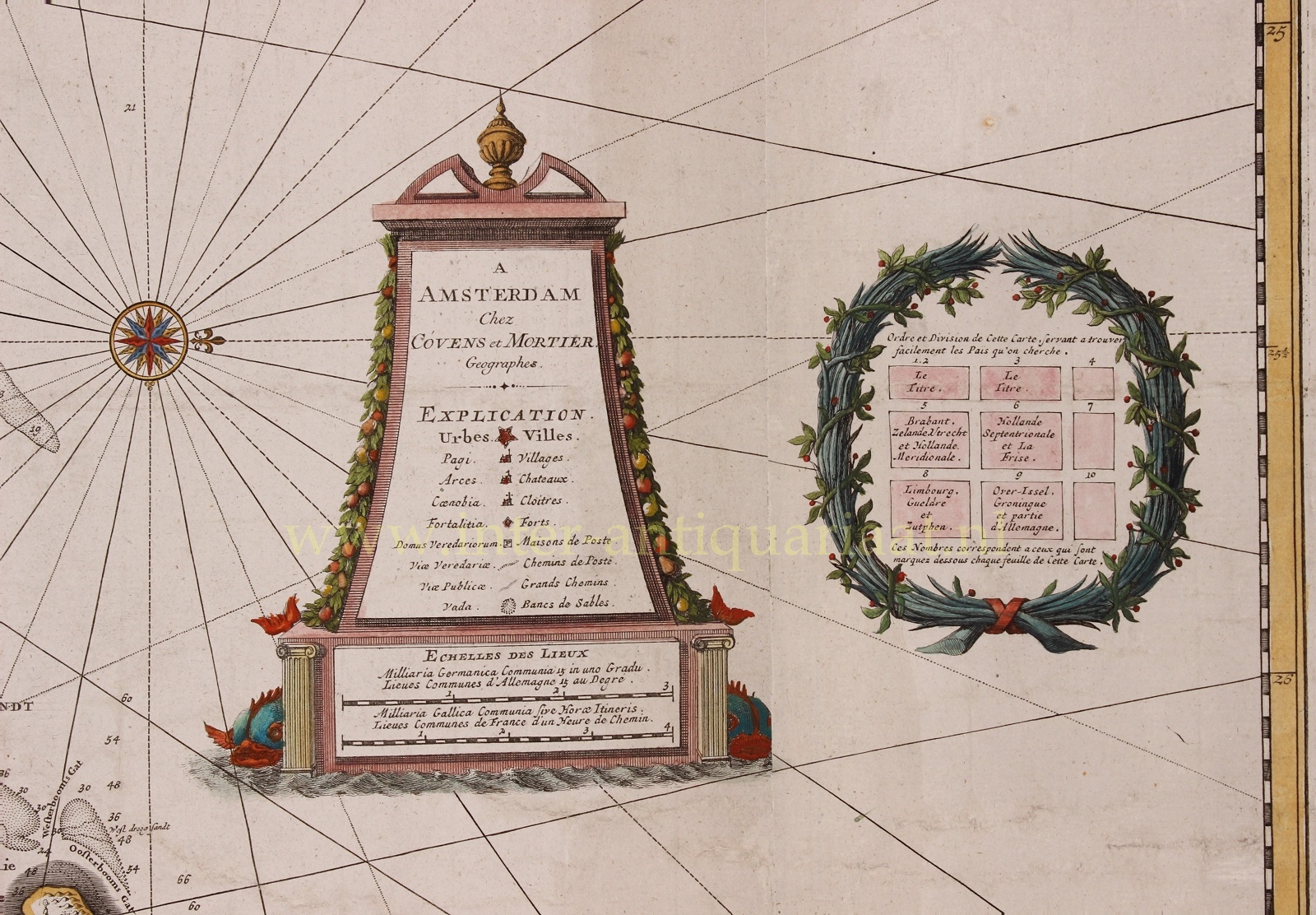
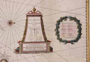
After De Wit’s death, the nine copper plates from which the map had been printed came into the possession of the Leiden publisher and bookseller Pieter van der Aa. He reused the plates, but reduced them in size and removed the Southern Netherlands. The map now showed the Seven Provinces: “Les Provinces Confedereés du Païs-Bas”. The title banner and cartouches were also replaced, while new information relevant to safe navigation, including water depths and sandbanks, was added.
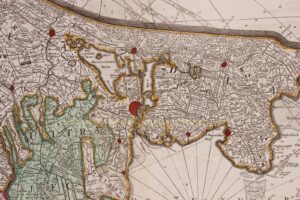
Van der Aa also punched more than 225 small letter Ps enclosed in square frames into the plates, indicating the locations of the post stations (“Maisons des Poste”) then in operation. In addition, he engraved fine dotted lines marking the contemporary postal routes. These additions made this wall map the first postal map of the Dutch Republic.
After the Peace of Münster, many soldiers who had served on horseback, or cavalrymen, found new employment as mail carriers or postilions. These postilions travelled between the towns and could be recognised by their horns, which they sounded to announce their arrival in or departure from a town.
A considerable amount of mail within the Netherlands was also transported by ship and by trekschuit, or horse-drawn passenger barge. Postal connections between towns were particularly well developed in the province of Holland, where an extensive network of navigable waterways was available. Water transport was slow, however, and postilions sometimes took over the carriage of urgent mail. There were also stagecoaches running between towns at fixed times, carrying passengers and goods; letters could be conveyed along these routes as well.
Eventually, in 1799, all postal services came under the control of the Dutch state.
Literature:
- A.M. van der Heijden: “Oude kaarten der Nederlanden, 1548-1794” (1998), no. 138/4
Price: Euro 3.250,-
