

Lake Geneva – Jodocus Hondius/Johannes Janssonius, na 1630
€950


17TH CENTURY LAKE GENEVA AND SURROUNDINGS
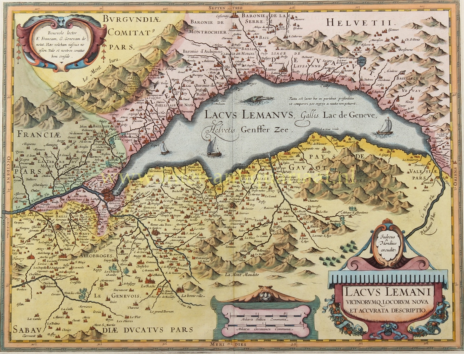
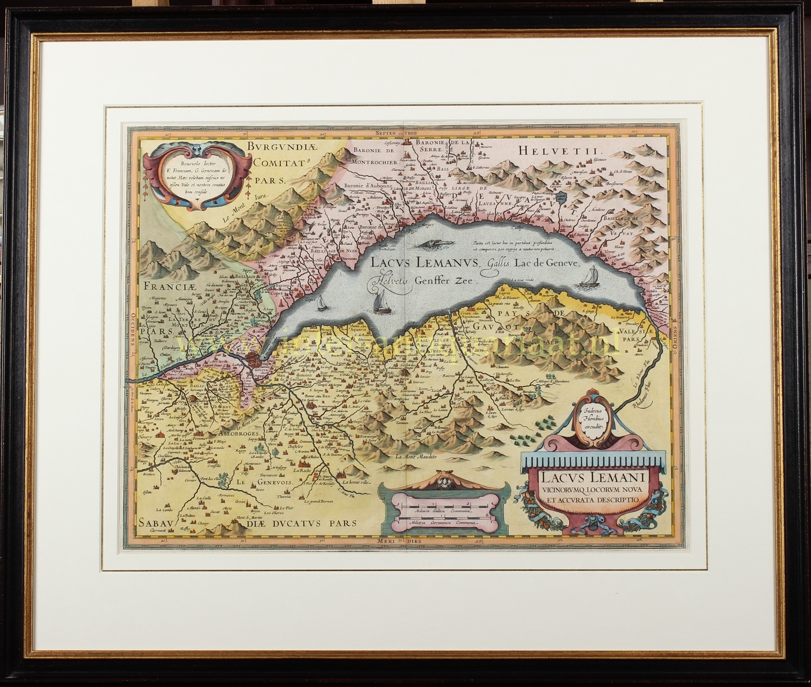
“Lacus Lemani Vicinorumq. Locorum Nova et Accurata Descriptio.” Copper engraving published in Amsterdam by Johannes Janssonius, probably after 1630. Later hand-coloured. Dimensions 38.5 x 48.8 cm.
This beautifully engraved map of the region around Lake Geneva is based on the work of the Swiss theologian Jacques Goulart (1580–1622). Jodocus Hondius engraved the map in 1606. Our example was published by his son-in-law Johannes Janssonius. Hondius’s map was subsequently re-engraved by Jean-Baptiste Vrients for Abraham Ortelius’s atlas, with altered cartouches.
The makers were evidently pleased with their map. The cartouche at upper left reads (in Latin): “Benevolent reader from France and Geneva, I wish you to take note of this. Farewell, and consult our work carefully.”
Geneva, an important Hanseatic city which in the Middle Ages provided merchants from northern and southern Europe with a marketplace, was also the city from which a new wave of Protestantism spread across Europe in the 16th century. The Frenchman John Calvin (1509–1564) propagated his ideas from Geneva from 1641 onwards, and within a few years his Calvinism had gained a foothold in France, Germany and the Netherlands.
In addition to numerous topographical details, the map shows, southwest of Geneva, the Château de Sainte-Catherine, which was destroyed by King Henri IV. In the lake, alongside a sea monster and several sailing vessels, an inscription states that in some places it is so deep that its depth is beyond comparison. Near Yvorne, at the eastern end of the lake, we read that an earthquake occurred there in 1584. The map also states that La Dôle, on the border between France and Switzerland, is the highest mountain in the Jura.
Price: Euro 950,- (incl. frame)
