

China – East Asia Common Culture Society, 1914
€4.250
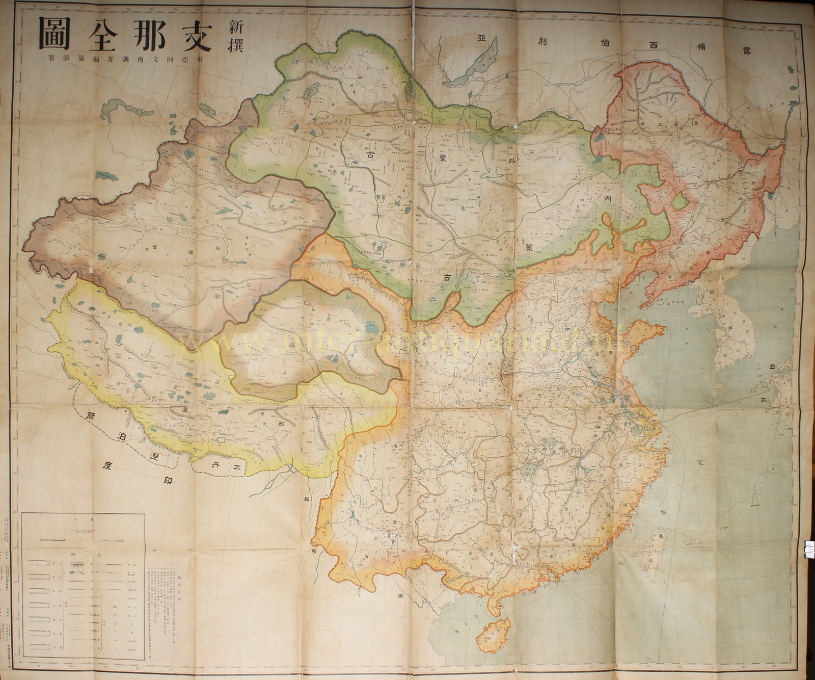
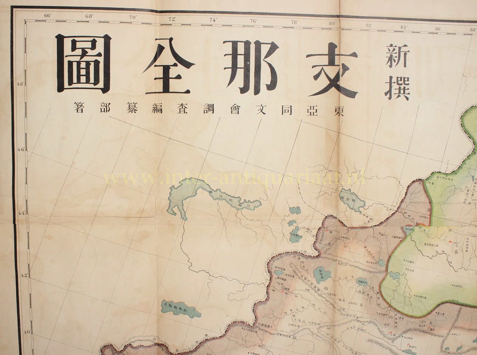
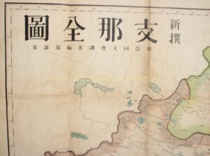
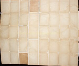
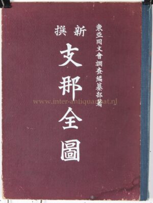
MONUMENTAL JAPANESE MAP OF CHINA AT THE BEGINNING OF THE REPUBLIC, 1914
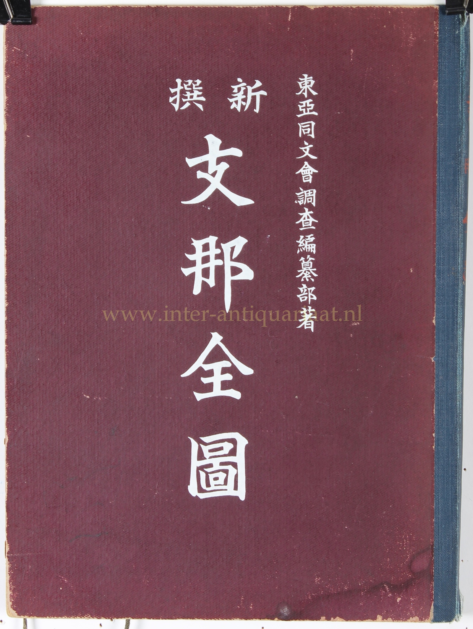
“Shinsen Shina Zenzu” (新撰支那全圖, ‘Newly Compiled Complete Map of China’), compiled by the Tōa Dōbunkai Chōsa Hensanbu (東亜同文会調査編纂部), the research and publications department of the Tōa Dōbunkai (East Asia Common Culture Society), colour lithograph published in Tokyo on 15 December 1914. Folding map in its original cloth-covered case. Approx. 126 × 149 cm.
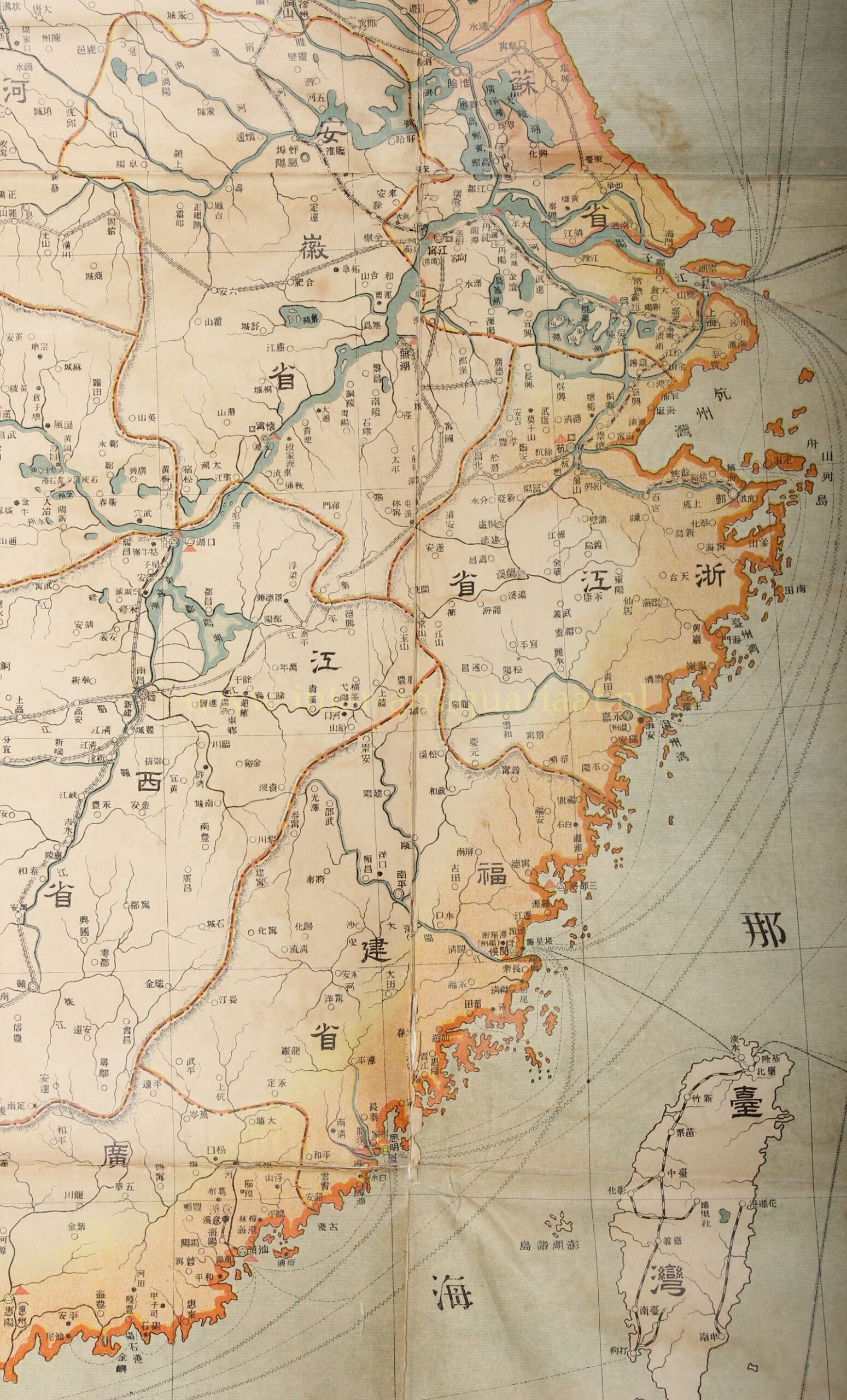
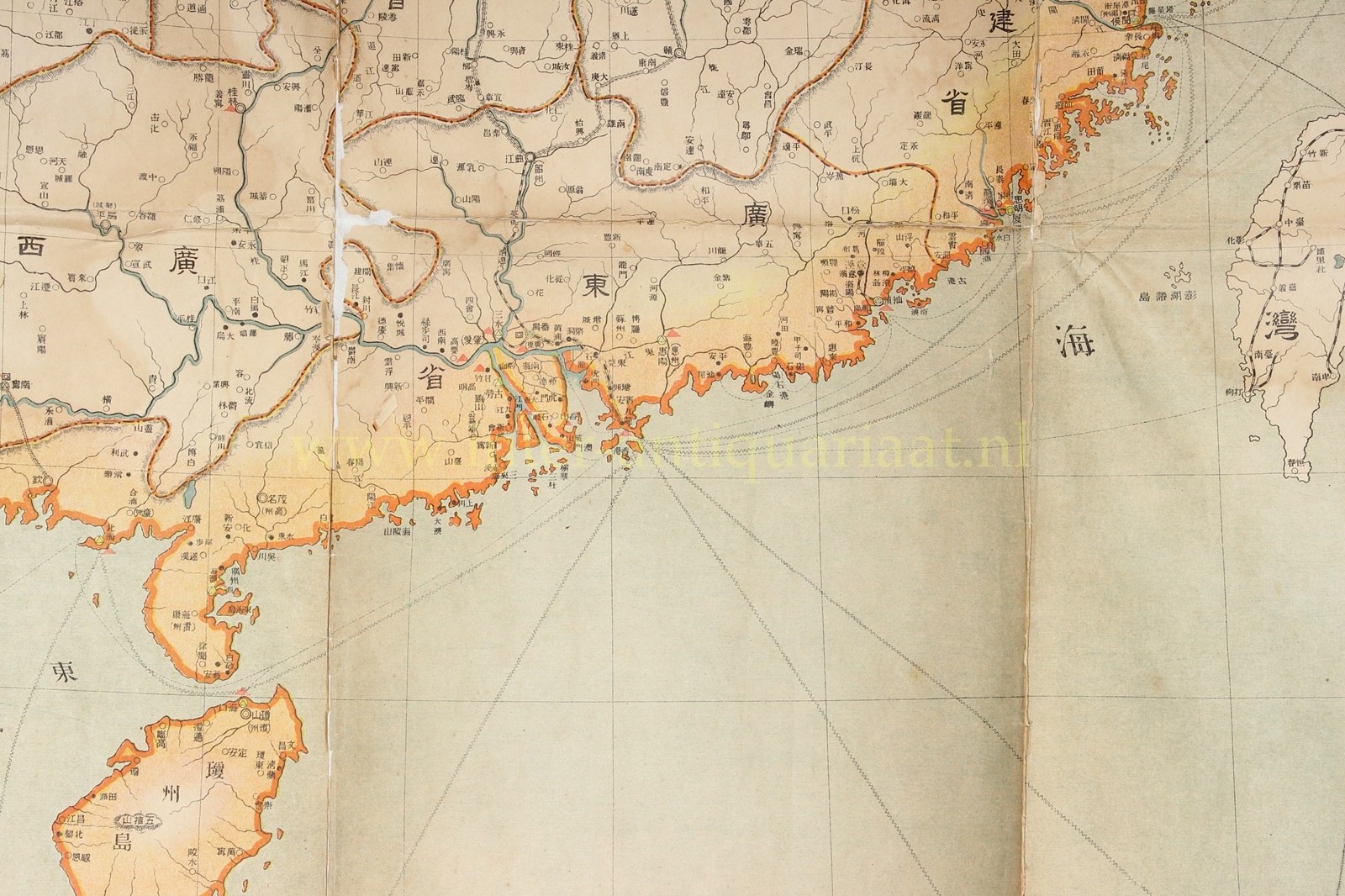
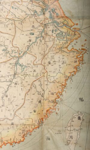
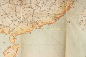
The map provides an impressive overview of China and its neighbouring countries during the first years of the Republic of China. From Xinjiang and Tibet in the west, the map extends to the Korean coast, Japan and Taiwan in the east; to the north it includes Mongolia and parts of Russian Asia, while in the south Chinese territory borders British India and French Indochina. The major river systems, mountain ranges, provinces, cities and administrative centres are shown in considerable detail.
The map appeared barely three years after the fall of the Qing dynasty. Although the new republic had inherited the territorial claims of the Qing Empire, its effective authority over the vast frontier regions was far from secure. The status of Outer Mongolia and Tibet in particular was disputed. Nevertheless, both regions are shown on the map within the broader geographical framework of China. The map is therefore not merely a geographical representation, but also reflects the way in which the territorial extent of China was viewed in Japan in 1914.
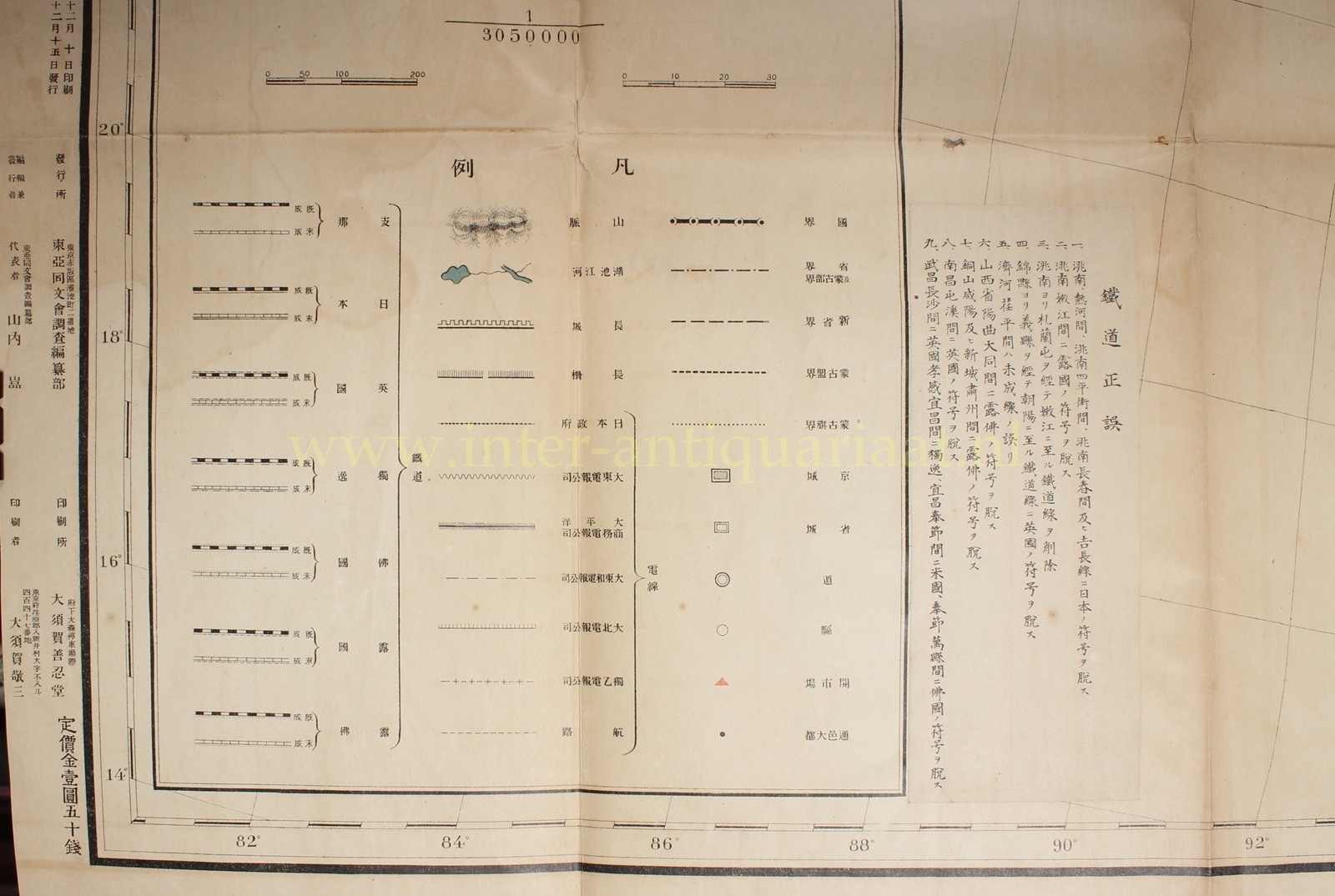
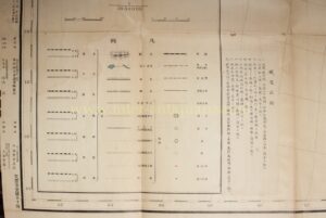
Particularly interesting is the emphasis placed on modern infrastructure. In the extensive legend at lower left, completed and unfinished railway lines are indicated separately. The map also distinguishes between railway lines associated with China itself, Japan, Great Britain, Germany, France and Russia, as well as joint Franco-Russian interests. It thus makes immediately visible the extent to which the development of the Chinese railway network had become intertwined with the economic and political interests of the great powers. Telegraph connections, shipping routes, administrative boundaries, national and provincial capitals, and places open to foreign trade are also indicated.
Also noteworthy is the pasted-on slip entitled “Tetsudō seigo” (鐵道正誤, ‘railway corrections’), containing nine additions and corrections to the railway information. It illustrates how rapidly infrastructure and foreign involvement were changing, and how difficult it was to keep such a map fully up to date.
This is all the more significant because the map appeared at an exceptionally dynamic moment. Japan had declared war on Germany in August 1914 and, together with British forces, captured the German concession around Qingdao (Tsingtao); the German stronghold capitulated on 7 November 1914, only five weeks before this map was published. The fact that the legend still identifies German railway interests separately makes the map a striking snapshot of the transition from the pre-war system of foreign concessions to a period of increasing Japanese influence on the Chinese mainland.
The Tōa Dōbunkai (‘East Asia Common Culture Society’) was founded in 1898 and developed into an influential Japanese organisation devoted to education, research and the gathering of information about China. Among other institutions, the society maintained the Tōa Dōbun Shoin in Shanghai, whose students undertook months-long research journeys through China from 1907 onwards. These expeditions generated a substantial body of geographical, economic and social information. The map emerged from this broader Japanese interest in the systematic study of China, which was of major importance both for trade and education and for Japan’s geopolitical position.
This example is the first edition of December 1914. The map was already issued in a revised version in 1916 and revised again in 1918, an indication of the speed with which political boundaries, railway networks and other geographical information were changing during these years.
Price: Euro 4.250,-
