

Friesland – Abraham Allard, after 1703
€450
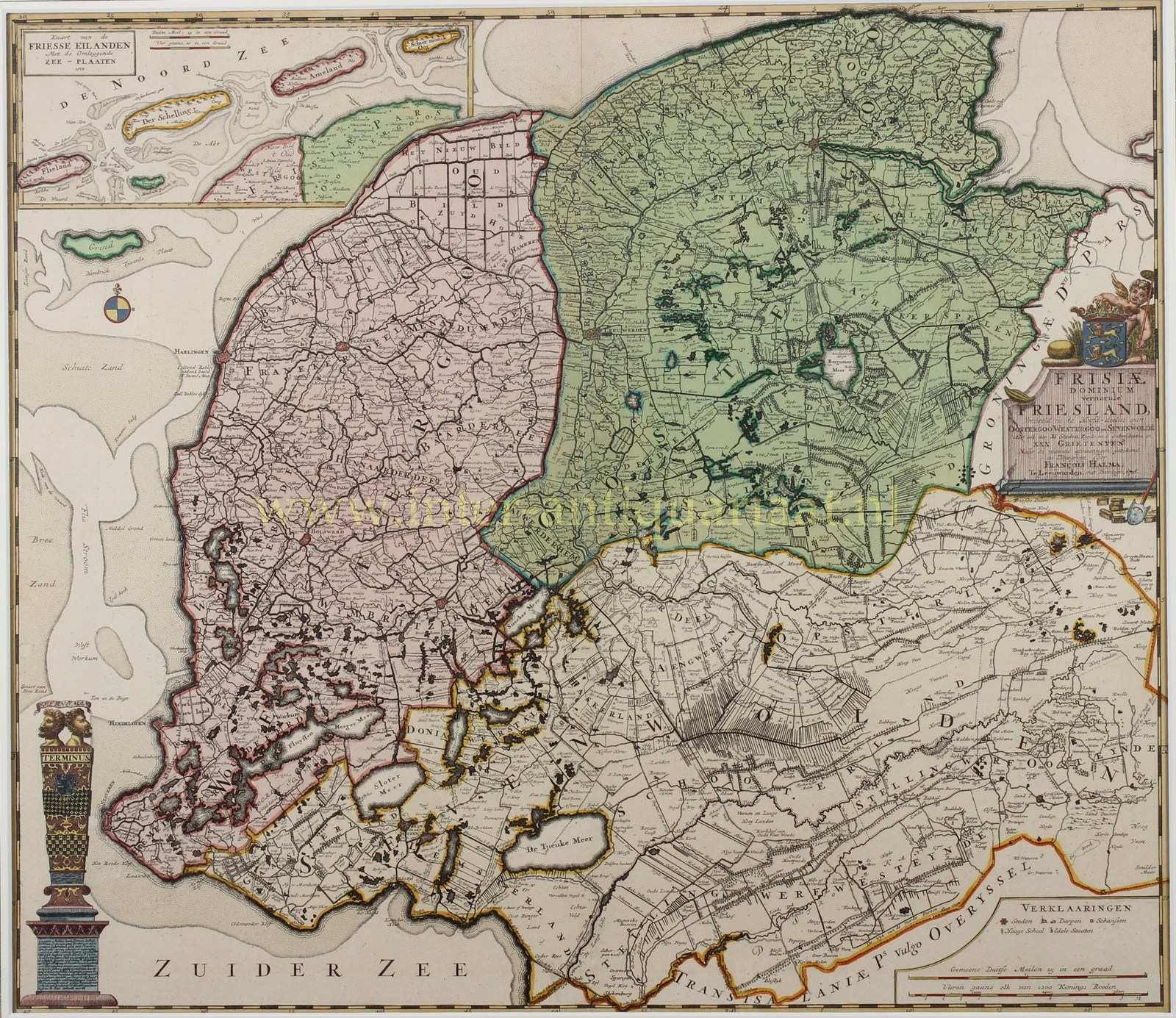
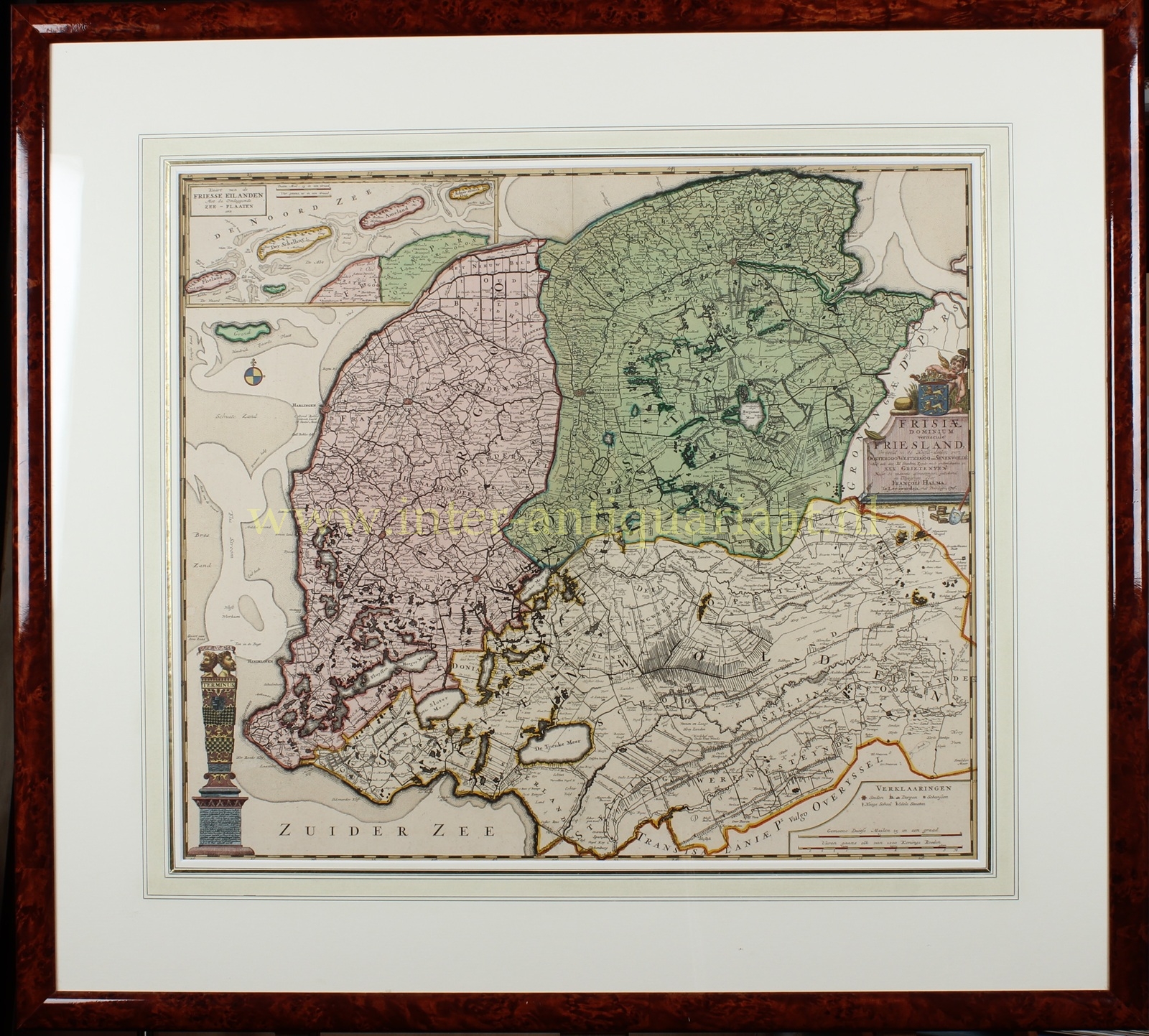

“Frisiae Dominium vernacule Friesland, verdeeld in de hoofd-deelen van Oostergoo, Westergoo en Sevenwolde. Als ook der XI steden in XXX grieteneyen” [The Lordship of Friesland, commonly called Friesland, divided into the principal regions of Oostergo, Westergo and Zevenwouden, as well as the eleven cities and thirty grietenijen], copper engraving made and published by Abraham Allard shortly after 1703. Original hand colouring. Size: 50.5 × 58.5 cm.
In 1580, most of Friesland joined the Union of Utrecht. The province was subsequently known as the Lordship of Friesland. The States of Friesland consisted of representatives of the eleven cities and thirty grietenijen, rural administrative and judicial districts. The former gaue of Oostergo, Westergo and Zevenwouden, together with the eleven Frisian cities, constituted the four quarters of Friesland between 1579 and 1795.
At lower left we see the so-called “Stenen Man” [Stone Man], a monument on the Westerzeedijk at Harlingen. On 1 November 1570, Friesland was struck by the devastating All Saints’ Flood, which inundated almost the entire province, caused extensive damage and left its dikes in a disastrous condition. Repairs were urgently needed, but the Frisians were unable to agree on how the costs should be divided.
Through the intervention of stadtholder Caspar de Robles, an agreement was soon reached to close the breaches and reinforce the dikes, particularly those around Harlingen. The dike system was divided into two sections: the northern section was to be maintained by the Binnendijkers, and the southern section by the Buitendijkers. When the work was completed, the Binnendijkers erected a boundary marker (Terminus) at the dividing point in 1576, bearing a head facing south and another facing north.
This boundary marker developed into a commemorative column honouring De Robles and became known as the “Stenen Man“, or in Frisian Stiennen Man. The monument was dismantled around 1725 after suffering frost damage and was rebuilt in 1774.
Literature: P.J. de Rijke “Hoogtepunten van Friese cartografie”, no. 063-2
Price: Euro 450,- (incl. frame)
