

Mechelen and Aarschot – Willem + Joan Blaeu, 1635
€325
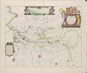
MECHELEN AND AARSCHOT IN THE SPANISH NETHERLANDS, 1635
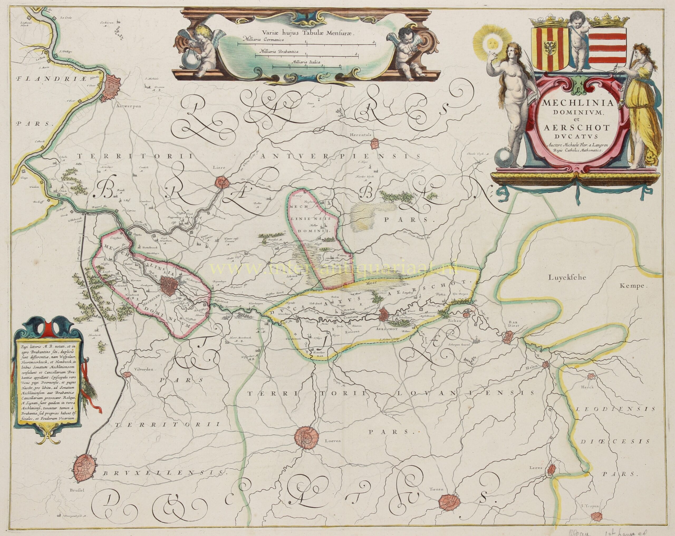
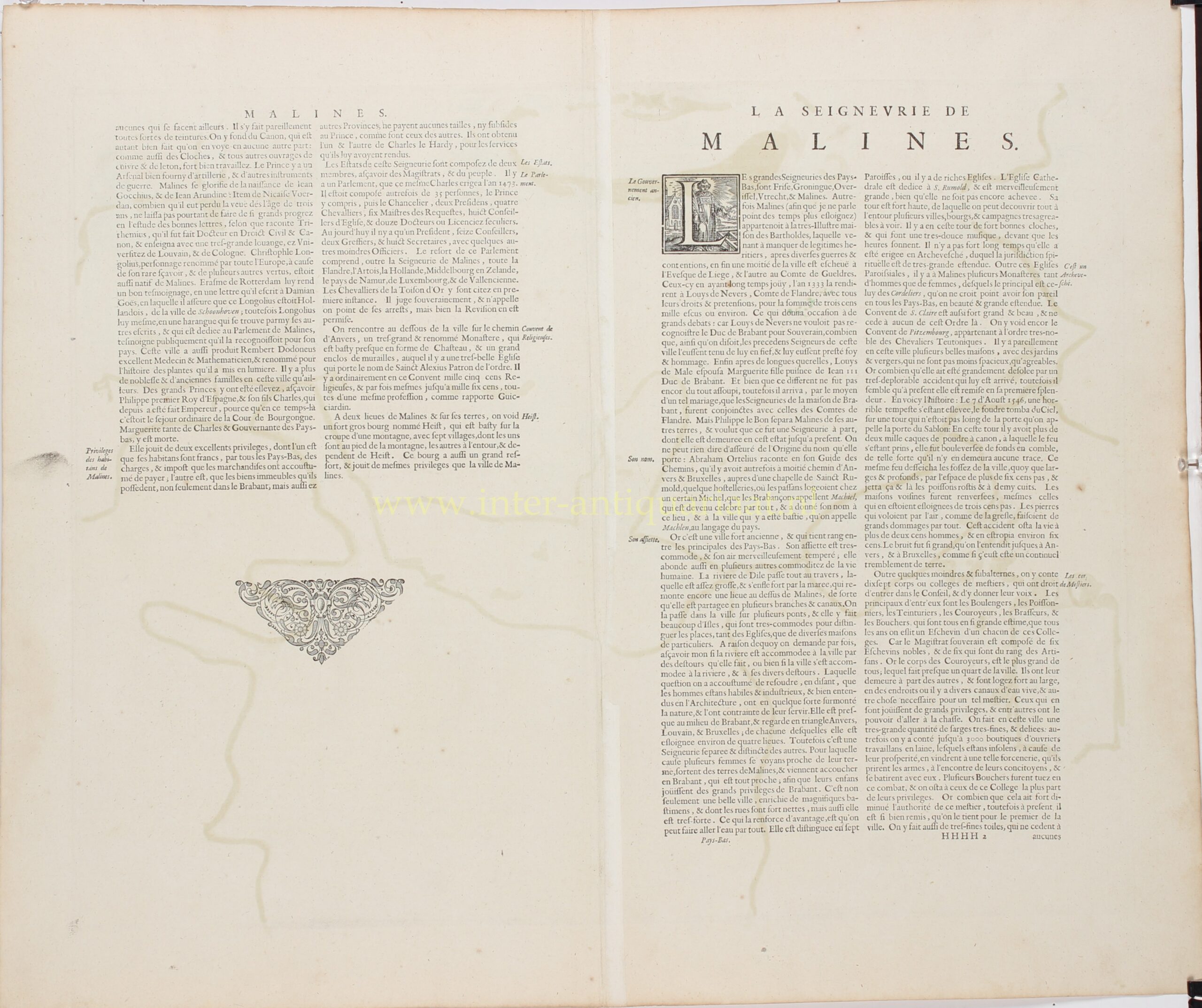
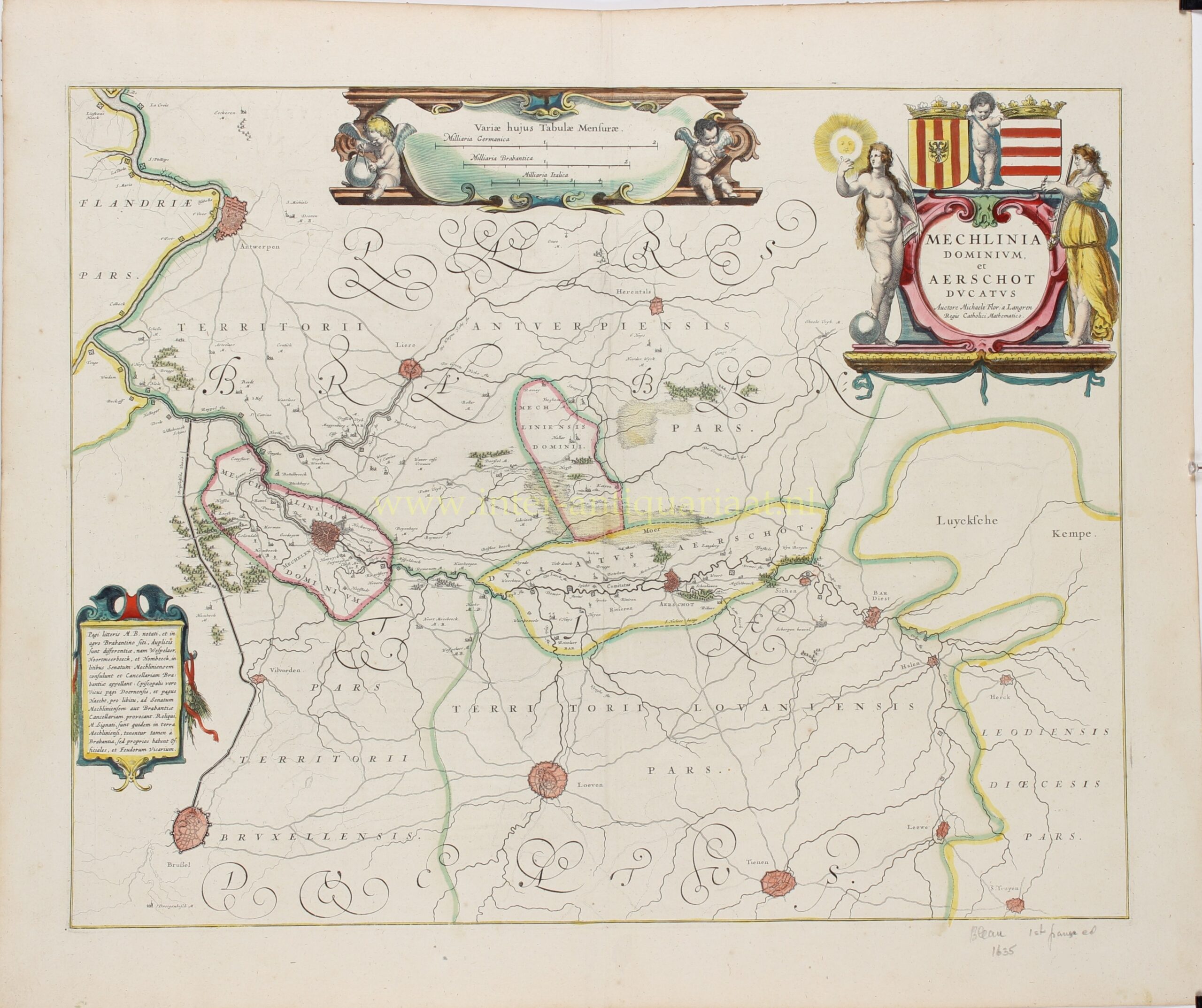
“Mechlinia Dominium, et Aerschot Ducatus”, copper engraving after a map by Michael van Langren, published by Willem and Joan Blaeu in Amsterdam in 1635, as part of the French-language edition of their atlas “Le Théâtre du Monde ou Nouvel Atlas”. With original hand colouring. Size (map image): approx. 41 × 52 cm.
This richly decorated antique map depicts the region surrounding Mechelen and Aarschot in the first half of the seventeenth century, when the area formed part of the Spanish Netherlands. The map covers a substantial part of the historic Duchy of Brabant, extending from Antwerp in the northwest to Herentals in the north, and from Brussels and Leuven in the south to Tienen and the Kempen region in the east.
At the centre are the Lordship of Mechelen and the Duchy of Aarschot, whose boundaries are distinguished by different colours. The towns of Mechelen, Aarschot, Antwerp, Brussels, Leuven, Lier, Herentals and Tienen are depicted with their fortifications and street layouts. The map also shows numerous villages, roads, rivers, woodlands and marshes. The courses of the rivers Dijle, Demer and Nete, as well as the connections between the various towns, are clearly recognisable.
The Lordship of Mechelen occupied a distinctive administrative position within the Southern Netherlands. Although geographically surrounded by Brabant, it constituted a separate territory with its own rights and institutions. Mechelen was also the seat of the Great Council of Mechelen, one of the most important judicial institutions of the Habsburg Netherlands. The Duchy of Aarschot, which had been elevated to the status of a duchy by Emperor Charles V in 1533, comprised several lordships in the region surrounding Aarschot and Leuven.
Particularly attractive is the decorative title cartouche in the upper right corner, flanked by two allegorical female figures representing Truth (Veritas) and Justice (Justitia). Above the cartouche are the crowned coats of arms of Mechelen and Aarschot, with a putto between them. The cartouche containing three scale bars at the top of the map is also richly ornamented, with a pair of putti on either side. In the lower left corner is a third elaborate cartouche containing a Latin explanation of the administrative divisions of the region.
The map was based on the work of Michael Florent van Langren (1598–1675), a mathematician, astronomer and cartographer who belonged to a distinguished family of mapmakers and globe makers. He served as royal mathematician and cosmographer at the Spanish court.
Published by the celebrated Amsterdam mapmakers Willem and Joan Blaeu, this map is a fine example of seventeenth-century Dutch cartography, combining geographical accuracy and administrative detail with a particularly decorative design.
Prijs: Euro 325,-