

Switserland – Gerard Valck, c. 1700
€375
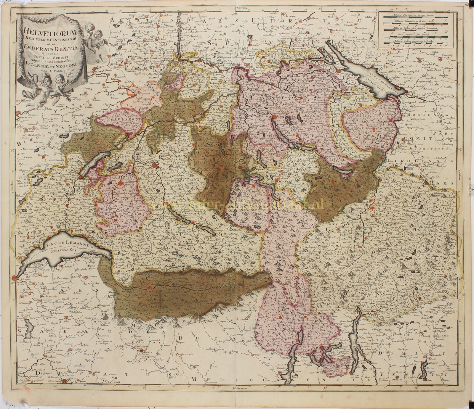
SWITZERLAND AND THE THIRTEEN CANTONS, C. 1700
“Helvetiorum Reipublicae Cantones XIII; ut et Faederata Rhaetia; Quique Iis Socii, ac Subditi: Adjunctis una Comitatibus Vallesiae, et Neocomi” [The thirteen cantons of the Swiss Confederacy, together with the allied Raetia, associated and subject territories, as well as Valais and Neuchâtel]. Copper engraving published by Gerard Valck in Amsterdam, c. 1700. With original hand colouring. Size: 50 × 48.5 cm.
This exceptionally detailed antique map of Switzerland shows the country at the end of the seventeenth century, when it had not yet developed into a unified state but consisted of a complex network of independent cantons, allied territories and subject lands. The map provides a fascinating picture of the political and geographical diversity of the Old Swiss Confederacy, which had consisted of thirteen cantons since 1513.
The individual cantons are distinguished by coloured boundaries. In addition to the thirteen original confederate cantons, including Zürich, Bern, Lucerne, Uri, Schwyz and Unterwalden, the map also depicts territories that maintained close ties with the Swiss Confederacy without being full members. These included Graubünden (identified on the map as Foederata Rhaetia), Valais (Vallesia) and Neuchâtel (Neocomum).
The surrounding regions are also shown in considerable detail, including parts of France, Savoy, southern Germany, Tyrol and northern Italy. Numerous towns, villages, rivers and mountain passes are marked. Switzerland’s mountainous terrain is emphasised by the finely engraved, shaded mountain ranges, while its major lakes, including Lake Geneva, Lake Neuchâtel, Lake Constance and the lakes along the Italian border, are clearly recognisable.
In the upper left corner is a magnificent decorative title cartouche in the form of a fringed, draped cloth held by putti. At the bottom, one of the cherubs holds a trumpet, while another carries a sword. Several scale bars appear in the upper right corner.
The map was published by the Amsterdam engraver, map publisher and globe maker Gerard Valck (1652–1726), who worked closely with Pieter Schenk from the 1680s onwards. Valck was among the leading Dutch map publishers of his time and, together with his son Leonard, gained international recognition for the production of terrestrial and celestial globes.
Price: Euro 375,-