

Switserland – Gerard + Leonard Valck, c. 1710
€375
SWITZERLAND AND THE THIRTEEN CANTONS, C. 1710
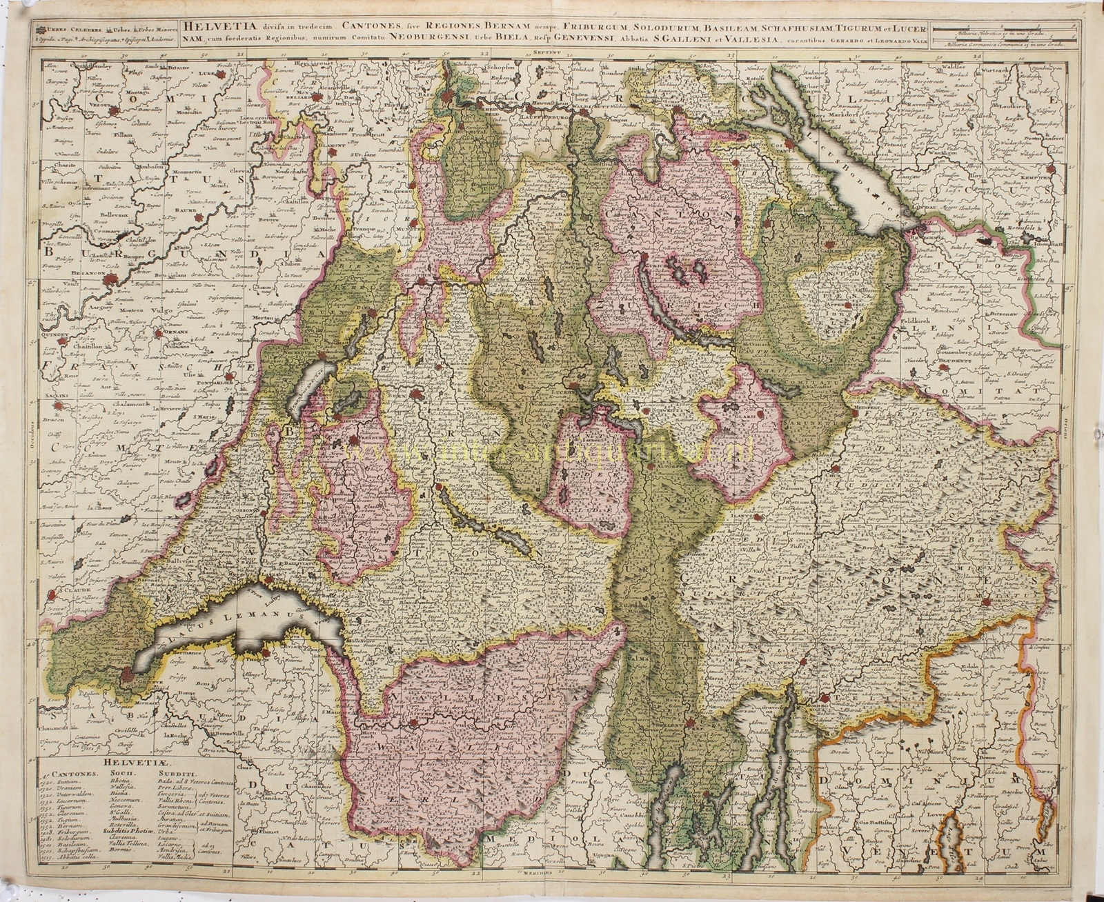
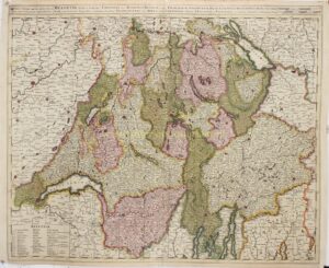
“Helvetia divisa in tredecim Cantones, sive Regiones, Bernam nempe, Friburgum, Solodurum, Basileam, Schafhusiam, Tigurum et Lucernam, cum foederatis Regionibus, nimirum Comitatu Neoburgensi, Urbe Biela, Resp. Genevensi, Abbatia S. Galleni et Vallesia” [Switzerland divided into thirteen cantons, together with the allied territories, including Neuchâtel, Biel, Geneva, the Abbey of St Gall, and Valais]. Copper engraving published by Gerard and Leonard Valck in Amsterdam, c. 1710. Original hand-colouring. Size: 46 × 59 cm.
This detailed map depicts Switzerland at the beginning of the eighteenth century, when the country had not yet developed into a unified state but consisted of a complex network of independent cantons, allied territories, and subject lands. The so-called Old Swiss Confederacy was a confederation of thirteen cantons, each enjoying a considerable degree of political autonomy. Various other territories were connected to the Confederacy through treaties, alliances, or administrative dependencies.
The map clearly illustrates this political diversity. The thirteen cantons, including Zurich, Bern, Lucerne, Uri, Schwyz, Fribourg, Solothurn, and Basel, are distinguished by different colours. The boundaries of the allied and subject territories are also carefully delineated. The map extends from Lake Geneva in the southwest to Lake Constance in the northeast, encompassing substantial parts of the neighbouring regions of France, Germany, and northern Italy.
Particularly striking is the wealth of topographical detail. In addition to cities, towns, villages, and hamlets, the map identifies rivers, lakes, mountain ranges, Alpine passes, and territorial boundaries. The Alps are represented by finely engraved, shaded mountains, while the major lakes, including Lake Geneva, Lake Lucerne, and Lake Constance, are easily recognisable by their distinctive, irregular outlines.
In the lower left corner is an extensive explanatory table divided into three columns: Cantones (cantons), Socii (allied territories), and Subditi (subject territories). The thirteen cantons are accompanied by the dates on which, according to the historical understanding of the period, they joined the Swiss Confederacy. Among the allied territories listed are Graubünden (Grisons), Valais, Neuchâtel, Geneva, and the Abbey of St Gall. The third column identifies territories governed by individual cantons or jointly administered by several cantons. This table makes the map an interesting historical document of the political relationships within early modern Switzerland.
The lengthy Latin title extends across almost the entire upper border. To its left is a key explaining the various symbols used for towns, episcopal seats, and other settlements, while two scale bars appear on the right. The finely executed engraving, the abundance of geographical place names, and the original hand-colouring give the map considerable decorative appeal.
The map was published by the Amsterdam engraver, art dealer, and cartographic publisher Gerard Valck (1651–1726) and his son Leonard Valck (1675–1746). Gerard Valck collaborated closely for many years with Petrus Schenk and was among the leading Dutch publishers of maps and prints around 1700. Together with his son, he also gained considerable renown as a maker of terrestrial and celestial globes.
Price: Euro 375,-