

Nagasaki, Dejima – Bunkindō, 1821


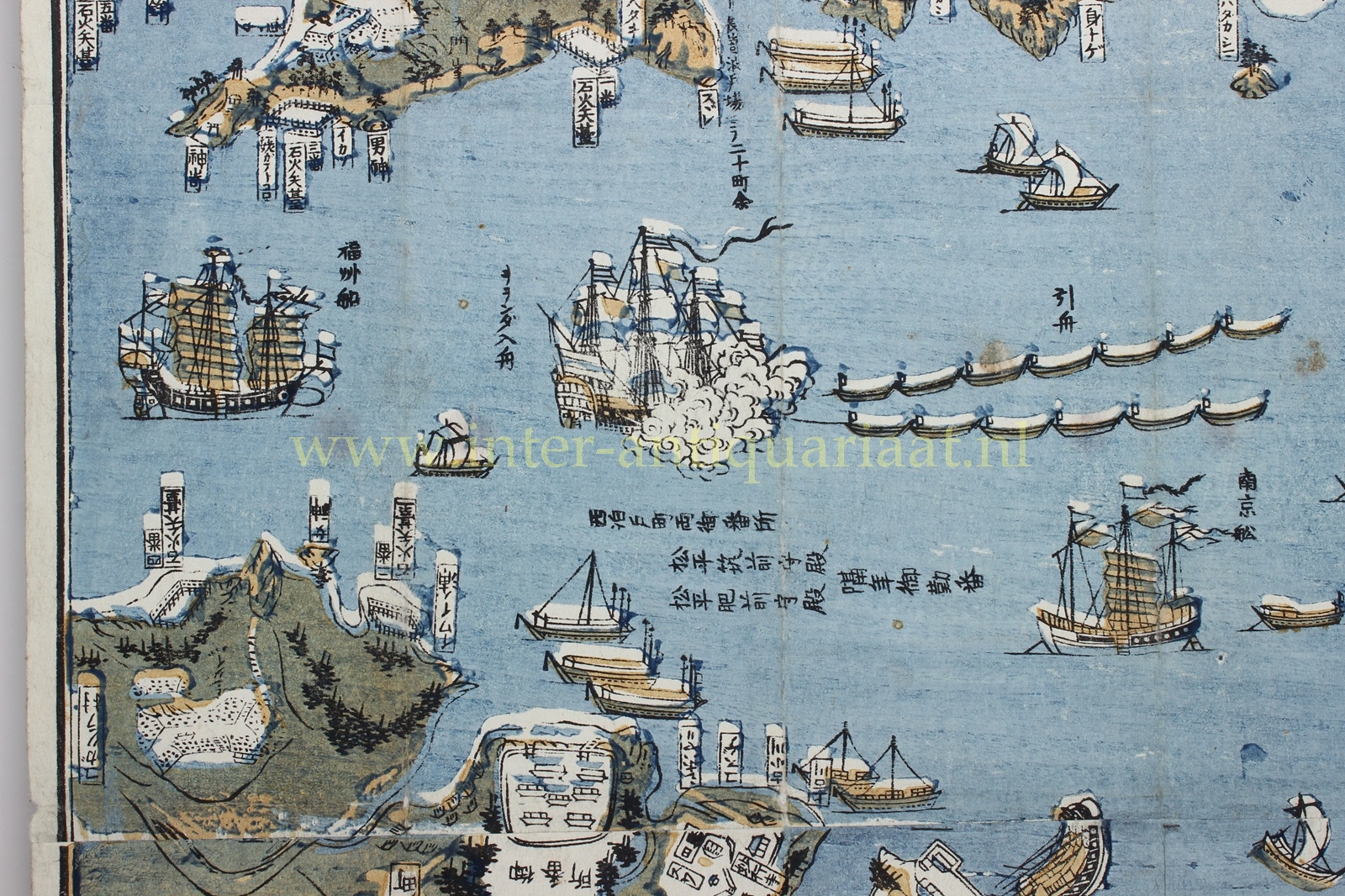


NAGASAKI MAP WITH THE VOC FACTORY DEJIMA, 1821
“Hishū Nagasaki zu”, woodblock print with original stencilled colours (kappa-zuri), published by Bunkindō, one of the four principal publishers of Nagasaki prints in the Edo period. The colophon records that the map was first issued in 1802 (Kyōwa 2) and reissued in revised form in 1811 (Bunka 8). The blocks remained in use thereafter; the present example belongs to a printing of 1821 (Bunsei 4). Size: 65.8 × 88.4 cm.
The map is oriented diagonally, with north placed in the upper right corner. This composition allows ships to be depicted convincingly, sailing horizontally in and out of the harbour. At the centre lies the Dutch trading post Dejima (出島), the fan-shaped artificial island measuring approximately 70 by 210 metres. Just below, not far from Dejima, is the Chinese factory.
At lower left, the print includes an extensive distance table listing routes from Nagasaki to other cities and regions, both over land (陸) and by sea (海). The distance to Osaka, for example, is given as approximately 197 ri by land and 235 ri by sea. In addition, the map features a second, more detailed overview of local routes around Nagasaki, including connections to Ōmura, Mogi, and Togitsu.
Following the expulsion of the Portuguese from Japan, only Chinese and Dutch ships were permitted to call at the country, with Nagasaki as the sole authorised port. In 1641 Dejima was established as the trading post of the Dutch East India Company (VOC) and remained the only direct point of contact between Japan and Europe until the mid-nineteenth century.
On the map, Dejima is rendered schematically: an enclosed island with several buildings and warehouses, connected to the mainland by a bridge. The Dutch presence is indicated by a flag. Life on the island was strictly regulated and isolated; its inhabitants were only permitted to leave for the obligatory annual journey to the shogun in Edo (present-day Tokyo). The staff typically consisted of a chief factor, a second merchant, several junior merchants, and a number of assistants, including a physician.
A slightly smaller version of this map was published some forty years later, towards the end of the 1860s, when a greater number of foreign traders had settled in Nagasaki.
This map belongs to the type known as Nagasaki-e: woodblock prints produced during the Edo period (1603–1868) for a Japanese audience fascinated by the limited yet visible presence of foreigners. Ships, trading posts, and exotic customs are recurring motifs. Such prints were often purchased as souvenirs by domestic travellers. Owing to the fragility of the paper and their intensive use, well-preserved examples are now rare.
Price: SOLD
