

Utrecht – Lodovico Guicciardini, ca. 1590
€475
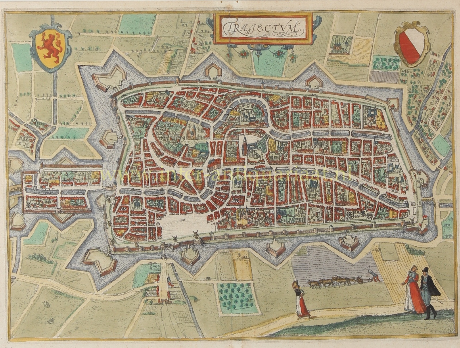
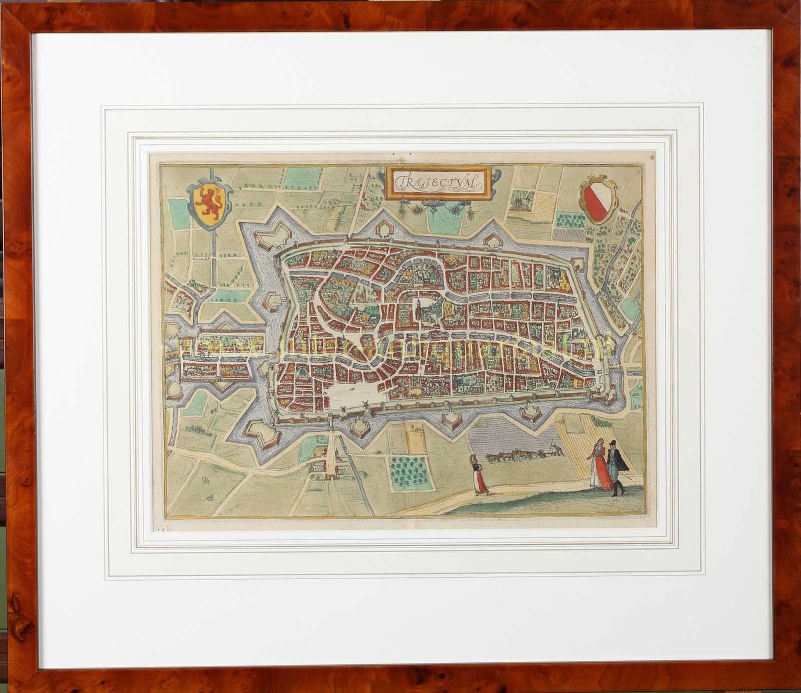


UTRECHT WITH THE PLANNED FORTIFICATIONS, C. 1590
“TRAIECTVM”, copper engraving, c. 1590, published in Antwerp by Christophe Plantin. Coloured by a later hand. Size (plate mark) 23.3 × 31.9 cm.
The map was engraved for Lodovico Guicciardini’s Descrittione di tutti i Paesi Bassi, altrimenti detti Germania Inferiore, a description of the Low Countries as they appeared shortly before the Dutch Revolt.
Utrecht is shown as a densely built-up city enclosed by its fortifications and surrounded by canals, fields, gardens and roads. Streets, canals and blocks of houses are depicted in bird’s-eye perspective, with the numerous churches and monasteries of the old episcopal city rising above the surrounding buildings. Outside the walls, the landscape is enlivened by, among other figures, a farmer ploughing with his horses, while an elegantly dressed couple strolls past at lower right. In the upper corners are the coats of arms of the province and city of Utrecht.
The composition is closely related to the plan of Utrecht published in 1572 in Braun and Hogenberg’s Civitates Orbis Terrarum. Not only the composition, the position of the title and coats of arms, and the depiction of the city correspond; even the ploughing farmer outside the fortifications was copied, albeit with additional draught horses. In several important respects, however, the cityscape was updated to reflect the dramatic events of the 1570s.
Thus the hated Vredenburg Castle has disappeared. Built in 1528 on the orders of Charles V, it was intended to keep Utrecht under control. In 1577 the citizens of Utrecht succeeded in taking the castle, which was occupied by Spanish troops, after which its demolition began almost immediately. The windmills outside the city, still shown on earlier maps, have likewise disappeared. During the Dutch Revolt they had been demolished for fear that enemy troops might use them as cover during a siege. At the same time, the number of windmills on the city ramparts increased. In these respects, therefore, the map genuinely reflects the altered appearance of Utrecht.
There is, however, something remarkable about the bastions. The map suggests that their number had increased during the 1570s from four to fourteen. This never happened: only five new bastions were actually constructed. Most likely, the fourteen bastions had been drawn on a fortification plan made around 1577, and that information was subsequently incorporated into this map.
During construction, the ambitious fortification scheme was simplified, but the original design remained on the printed map. The plan is therefore an intriguing combination of topographical reality and military planning: the disappearance of Vredenburg Castle and the windmills reflects the situation after 1577, while the impressive ring of fourteen bastions presents a vision of the future that was never fully realised.
The error proved remarkably persistent. The image was repeatedly copied and reused in later editions, with the result that the non-existent bastions continued to appear on maps of Utrecht well into the seventeenth century. For more than half a century, therefore, a fortification scheme that had never been completed continued to shape the printed image of the city.
Price: Euro 475,- (incl. frame)
