

Liège and Limburg – Cornelis de Jode, 1593
€1.250
THE PRINCE-BISHOPRIC OF LIÈGE AND LIMBURG IN THE 16TH CENTURY – RARE MAP FROM 1593
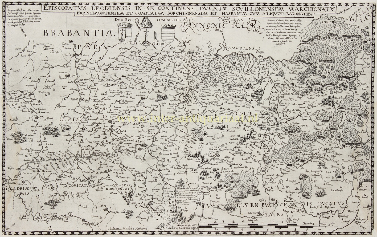
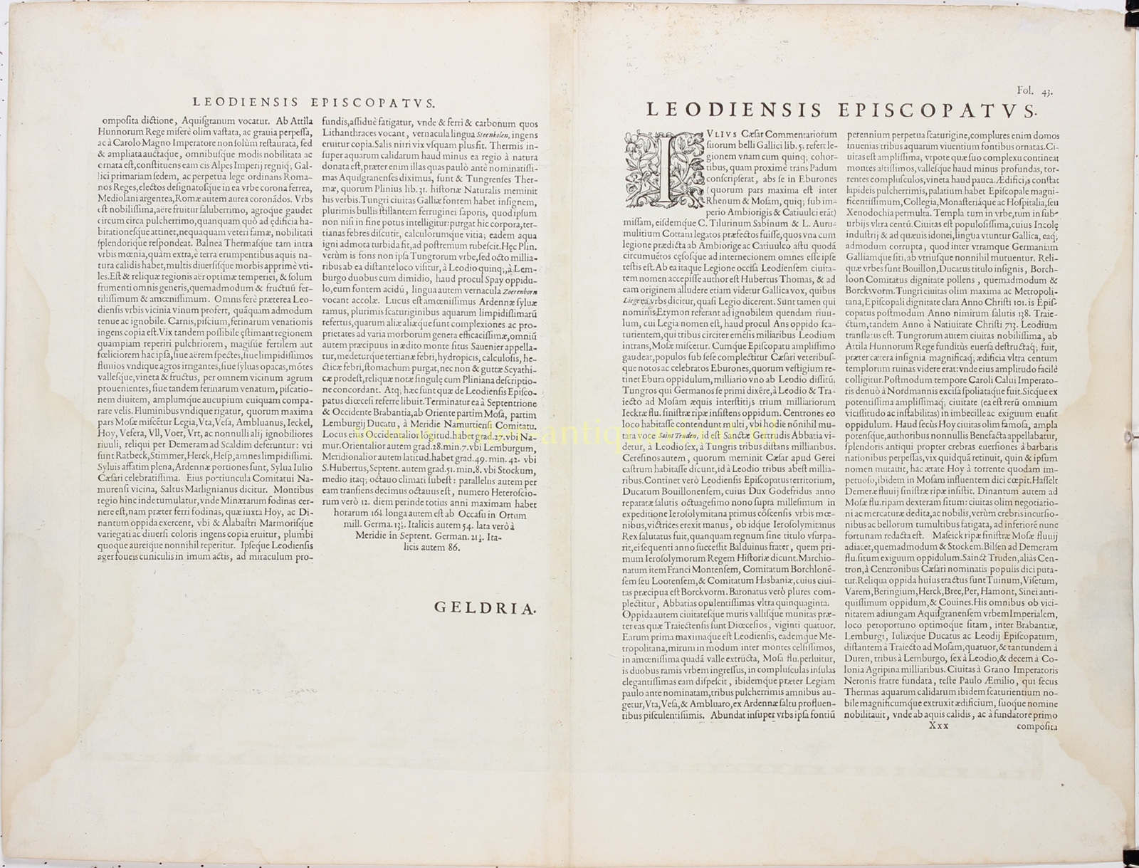
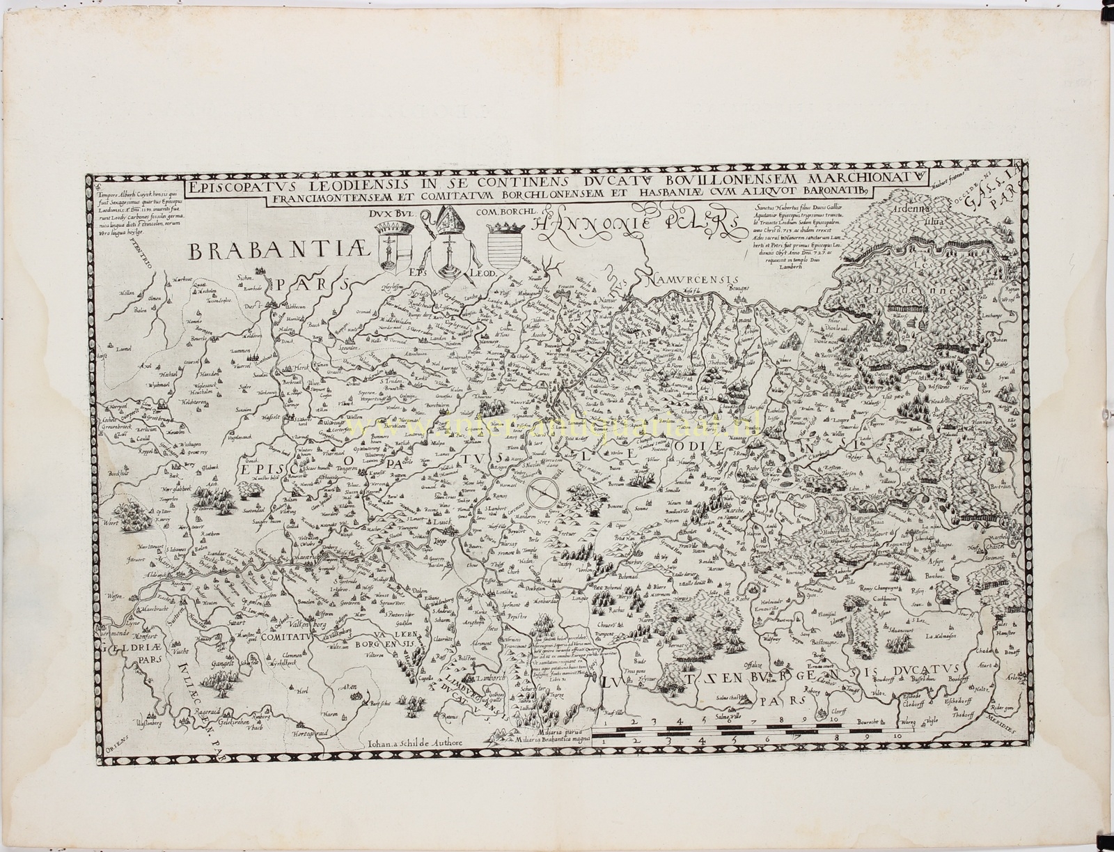
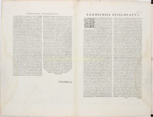
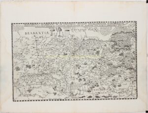
“Episcopatus Leodiensis in se continens Ducatum Bouillonensem, Marchionatum Francimontensem et Comitatum Borchlonensem et Hasbaniae cum aliquot Baronatibus” [The Prince-Bishopric of Liège, including the Duchy of Bouillon, the Marquisate of Franchimont, the County of Loon and Hesbaye, together with several baronies]. Copper engraving after a map by Jan van Schille, published by Cornelis de Jode in Antwerp in 1593, as part of his atlas “Speculum Orbis Terrae”. Latin text on verso. Size (map image): approx. 31.5 × 50 cm.
This rare and highly detailed antique map depicts the Prince-Bishopric of Liège and its surrounding territories at the end of the sixteenth century. At the time, the Prince-Bishopric was an independent ecclesiastical principality within the Holy Roman Empire. The Prince-Bishop of Liège exercised both religious and secular authority over his territories.
The map covers large parts of present-day eastern Belgium and neighbouring areas of Dutch Limburg. Among the many identifiable towns are Liège, Maastricht, Tongeren, Sint-Truiden, Hasselt, Borgloon, Huy, Namur, Dinant, Verviers and Bouillon. The County of Loon, which had formed part of the Prince-Bishopric since 1366, is also depicted. Unusually, the map is oriented with northwest at the top.
The course of the River Meuse forms a prominent geographical feature. Numerous towns, villages, castles, abbeys and other settlements are carefully recorded. The hills, forests and mountainous terrain of the Ardennes are depicted in a picturesque manner, while rivers and roads crisscross the landscape.
A monumental title banner extends across the top of the map. Beneath it are three coats of arms representing the Duchy of Bouillon, the Prince-Bishopric of Liège and the County of Loon. The elegant lettering, detailed place names and characteristic sixteenth-century depiction of the landscape give the map its distinctive appearance.
The map is based on the work of the Antwerp cartographer Jan van Schille, whose name (“Johan a Schilde”) appears at the bottom of the engraving. It was published in the second edition of the “Speculum Orbis Terrae”, issued by Cornelis de Jode in 1593. His father, Gerard de Jode, had published the first edition of the atlas in 1578, intending it to compete with Abraham Ortelius‘ celebrated “Theatrum Orbis Terrarum”.
Although De Jode’s maps were often distinguished by their geographical detail and the quality of their engraving, his atlas could not compete commercially with that of Ortelius. Consequently, relatively few copies were produced, and individual maps are now comparatively rare.
The map of the Prince-Bishopric of Liège is among those published exclusively in the 1593 edition.
Literature: Van der Krogt, Koeman’s Atlantes Neerlandici, 3360:32B; Koeman, Jod. 2.
Price: Euro 1.250,-