

Utrecht and Veluwe – Nicolaes Visscher, c. 1684
€1.250
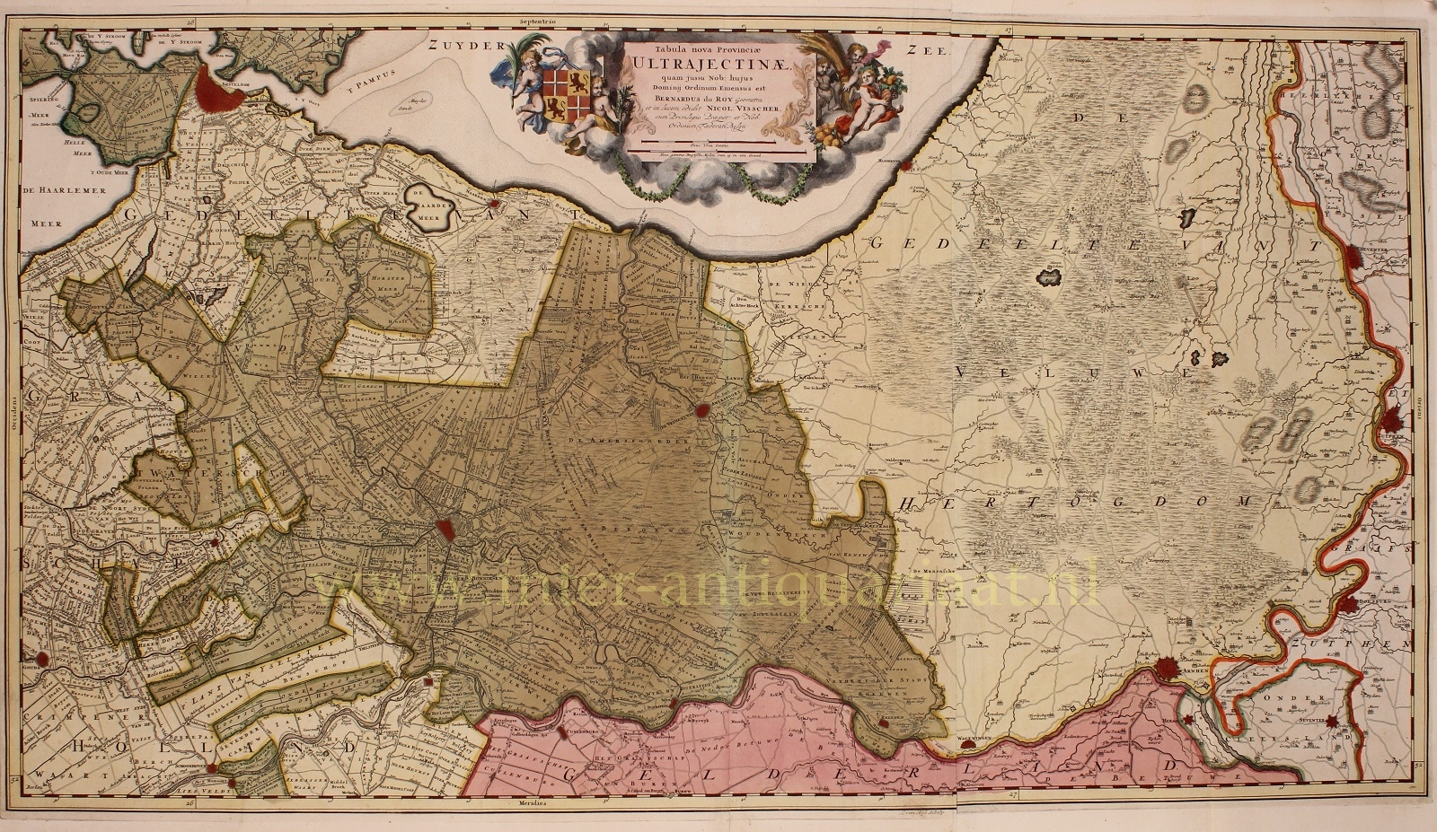

“Tabula Nova Provinciae Ultrajectinae”, [“New Map of the Province of Utrecht]. Engraving made by Luggert van Anse after a design by Bernard de Roij, printed from two copper plates by Nicolaas Visscher II and published around 1684 in his Atlas minor sive geographia compendiosa, qua orbis terrarum. Beautifully hand-coloured in the period. Size: approx. 47 × 82 cm.
From 1588 until the French period, Utrecht, as a lordship, was one of the provinces of the Republic of the Seven United Netherlands.
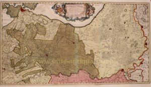
The map is a reduced version of a large wall map of the province of Utrecht made by Bernard de Roij, with the addition of an extra sheet depicting the Veluwe. The States of Utrecht had commissioned De Roij to produce a map that would provide an accurate representation of the boundaries between the various administrative and legal jurisdictions. Although the cartographer falls somewhat short in this respect, the result remains an important source for the historical-topographical knowledge of the province of Utrecht.
In the cartouche at the top, putti carry the coat of arms of the province of Utrecht, a combination of the arms of the Bishopric of Utrecht and the County of Holland. Also depicted are a cornucopia, sheaves of wheat, and fruit, all referring to the prosperity and fertility of the region.
Price: Euro 1.250,-