

Friesland, Vegelin Map – Tobias van Dessel + Reinier and Josua Ottens, 1739
€9.750
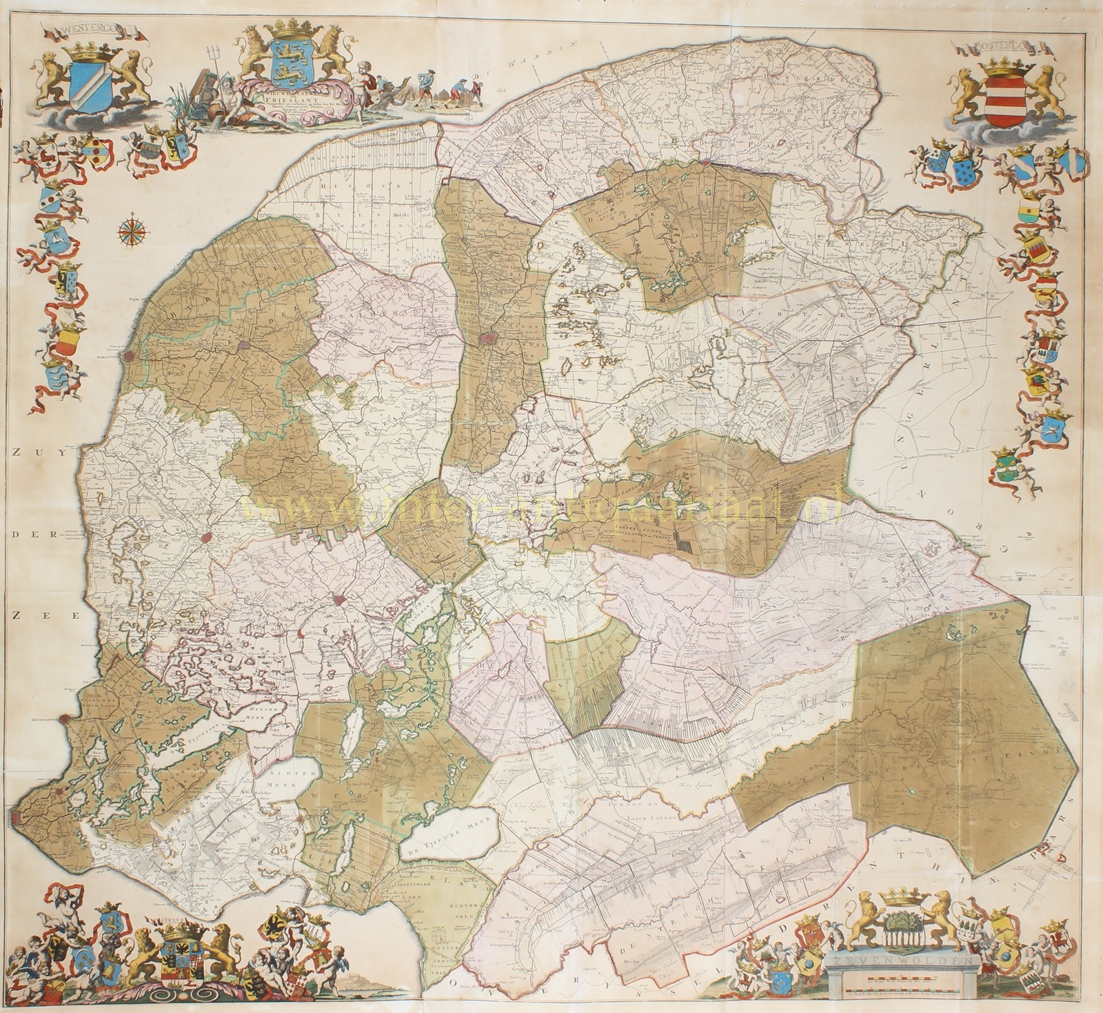

MONUMENTAL WALL MAP OF FRIESLAND – THE ‘VEGELIN MAP’
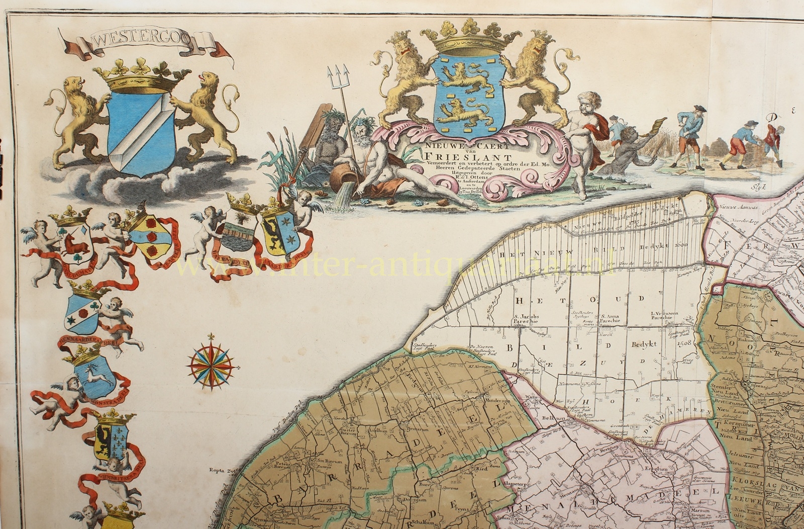
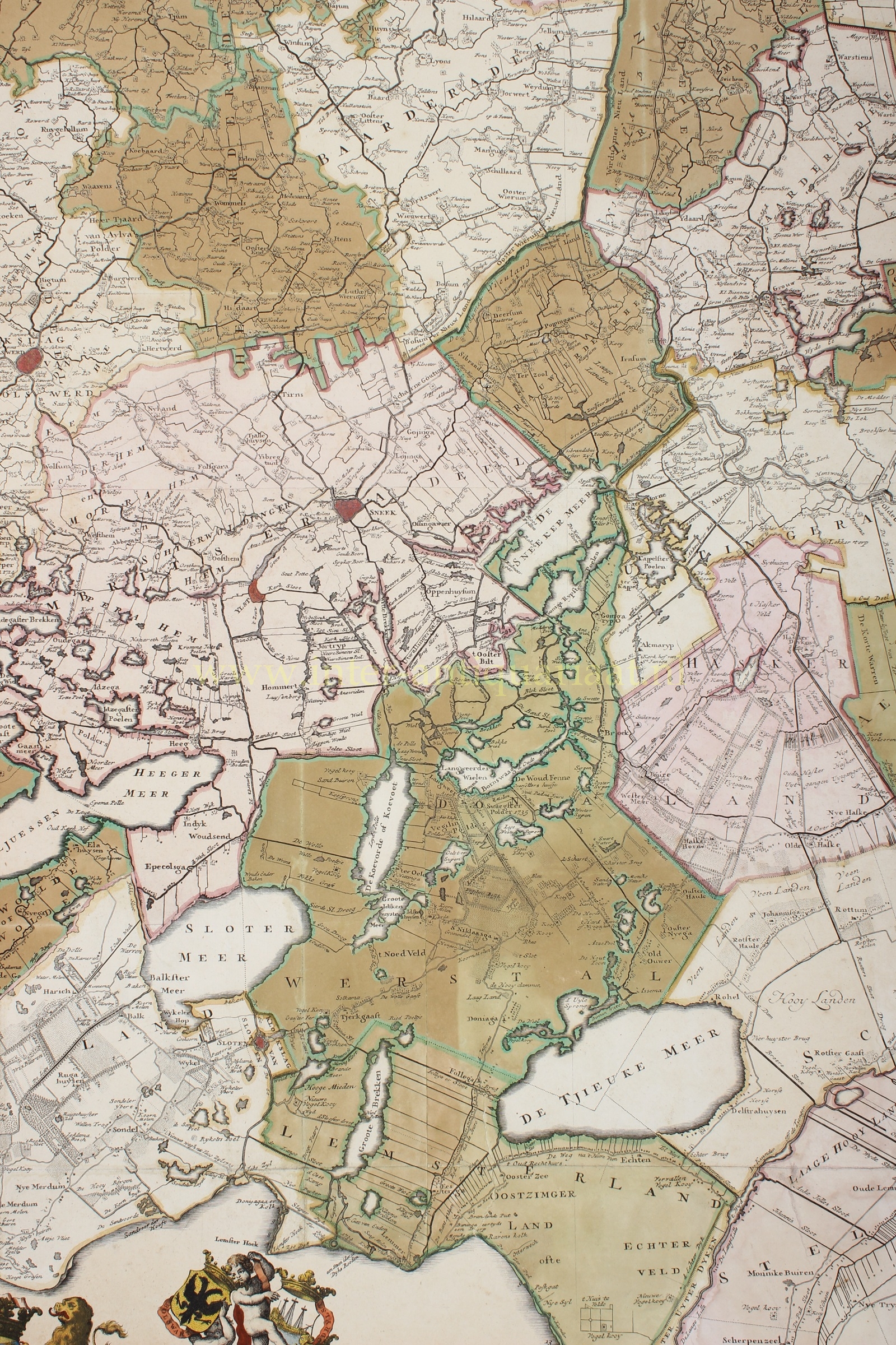
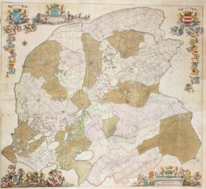
“Nieuwe Caert van Frieslant. Vermeerdert en verbetert op ordre der Ed. Mo. Heeren Gedeputeerde Staeten” [New Map of Friesland. Enlarged and improved by order of the Noble and Mighty Lords of the Provincial Executive], published by Reinier and Josua Ottens in Amsterdam and Tobias van Dessel in Leeuwarden in 1739, better known as the ‘Vegelin Map’. Copper engraving assembled from six sheets. With original hand colouring. Size. 113.5 × 125 cm.
This monumental showpiece map takes its name from Johan Vegelin van Claerbergen (1690–1773), ‘grietman‘ and a member of the Provincial Executive of Friesland. As grietman, he headed both the administration and judiciary of the grietenij, the Frisian administrative district that may be regarded as the predecessor of the later municipality. In 1734 Vegelin proposed to the States that a wall map of Friesland, begun decades earlier but never completed, should finally be published.
The first surveys for this map of Friesland had been carried out by Bernardus Schotanus à Sterringa. In 1698 he published an atlas containing maps of the individual grietenijen; three maps of the rural quarters and a provincial map were also planned. These final four maps, however, never appeared. Schotanus intended to publish the three rural quarters on several sheets so that together they could be assembled into a large wall map of Friesland. The States, however, were unwilling to pay the additional 6,470 guilders required, and the project was delayed. When Schotanus died in 1704, he left behind seven only partially completed copperplates.
The plates subsequently passed into the hands of François Halma, who in 1712 was commissioned by the States to republish the Schotanus atlas of 1698. The maps of the grietenijen were revised and supplemented, and the new edition appeared in 1718. For reasons that remain unclear, the maps of the rural quarters were again omitted. In 1730 the plates passed from the Halma firm to Tobias van Dessel, provincial printer in Leeuwarden. Four years later Vegelin van Claerbergen revived the old plan. The Provincial Executive then commissioned Van Dessel and Reinier and Josua Ottens to further elaborate, update and complete the existing plates.
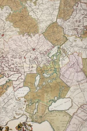
The cartographic content is based largely on the maps of the grietenijen of 1698 and their revised edition of 1718. At the same time, changes that had occurred since then were incorporated, including those in Het Bildt and around Bakkeveen and Langweer. The enormous quantity of information contained in the individual maps of the grietenijen had to be compressed into a much smaller area. The result is an exceptionally dense map image in which towns and villages, hamlets, roads, dykes, canals, rivers, lakes, peatlands, polders and other features of the landscape are rendered in remarkable detail.
The manner in which the map was produced is particularly ingenious. Seven sheets were printed: two for Oostergo, two for Westergo and three for Zevenwolden. These could be issued separately as maps of the three rural quarters, or together as seven individual sheets. Only six sheets were required for the large provincial map. One of the sheets of Zevenwolden contains only Gaasterland, which for this purpose had already been included on one of the sheets of Westergo. By trimming the various sheets along indicated lines and removing the overlapping sections, they could be joined seamlessly to form a single map of the whole of Friesland.
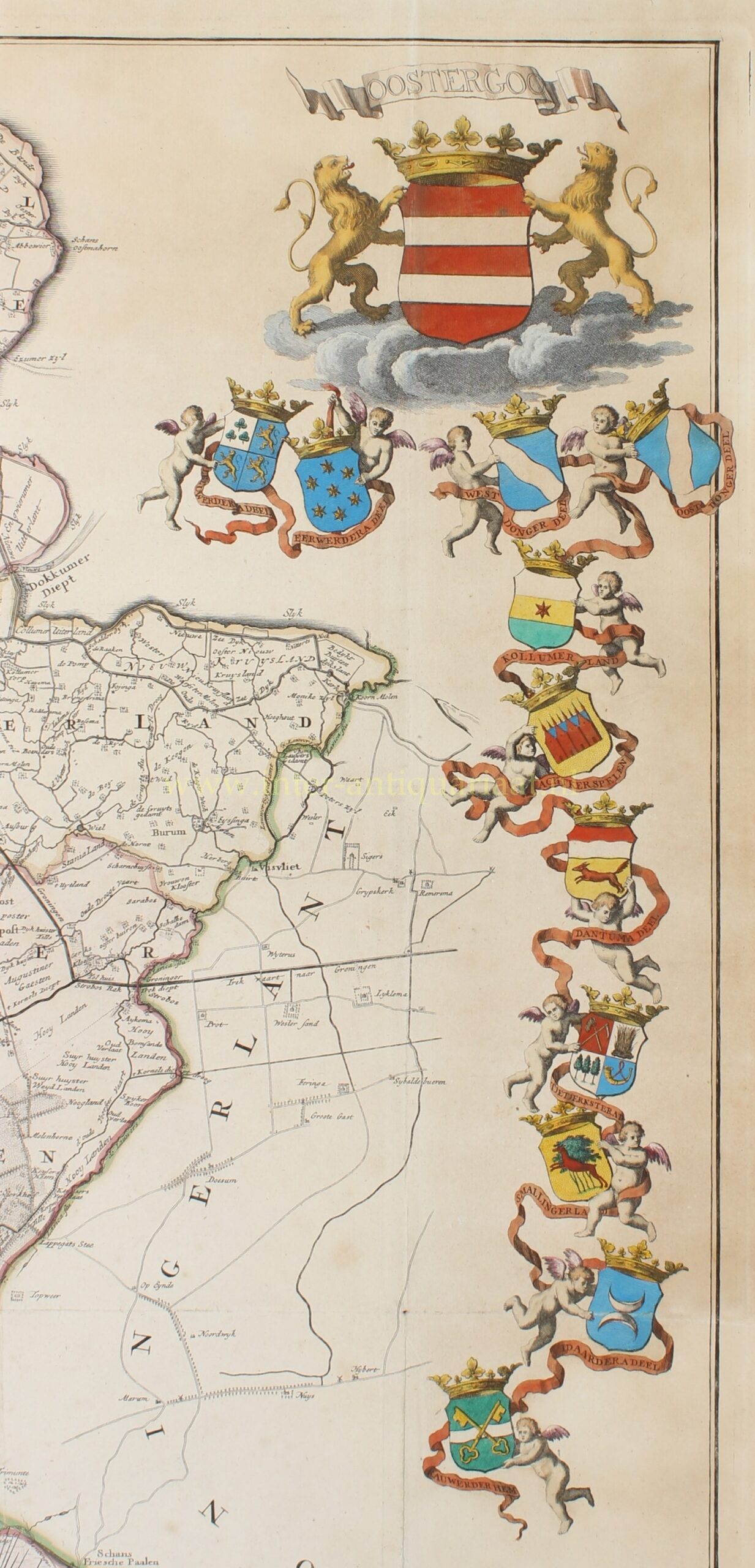
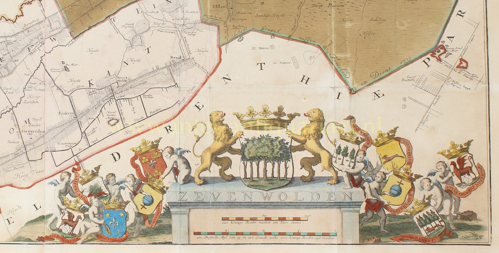
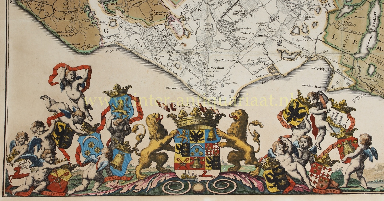
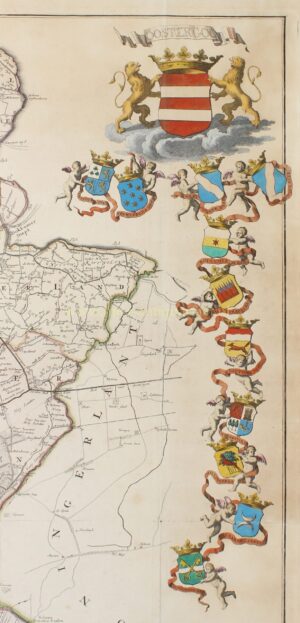
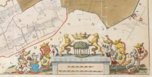
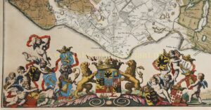
The cartography is surrounded by an exceptionally rich heraldic border. At the top, the title cartouche appears beneath the crowned arms of Friesland, flanked by two lions and surrounded by references to the Frisian landscape and its principal sources of livelihood. At upper left are the arms of Westergo, accompanied by those of its nine grietenijen; at upper right Oostergo appears with the arms of its eleven grietenijen. At lower right is Zevenwolden with the arms of its ten grietenijen. At lower left the eleven Frisian cities are brought together. Putti carry the crowned coats of arms on sweeping ribbons around the margins of the map. The heraldry thus forms, as it were, an administrative framework around the geographical representation of the province.
The original terms of publication likewise underline the representative character of the map. Van Dessel was granted permission to publish the map for a period of five years and was required to supply the States with one hundred coloured copies free of charge, as well as a further sixteen copies mounted on canvas, for which payment was made.
The Vegelin Map of 1739 thus represented the final realization of an ambitious cartographic project begun by Bernardus Schotanus several decades earlier. Its detailed mapping of the Frisian landscape, the administrative division into rural quarters and their grietenijen, and its exuberant provincial heraldry combine to create one of the most impressive cartographic images of eighteenth-century Friesland.
Literature:
- J. de Rijke (2006) “Frisia Dominium – Kaarten van de provincie Friesland tot 1850. Geschiedenis en cartobibliografie.” Map no. 63.
Price: Euro 9.750,- (incl. frame)
