

Meuse estuary and Rotterdam – Johannes van Keulen, 1681
€1.750

THE MEUSE ESTUARY AND THE FUTURE PORT OF ROTTERDAM, 1681
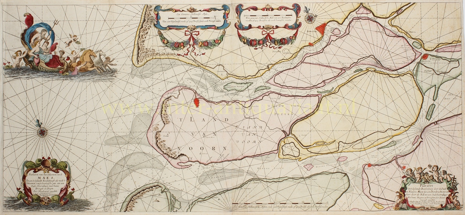
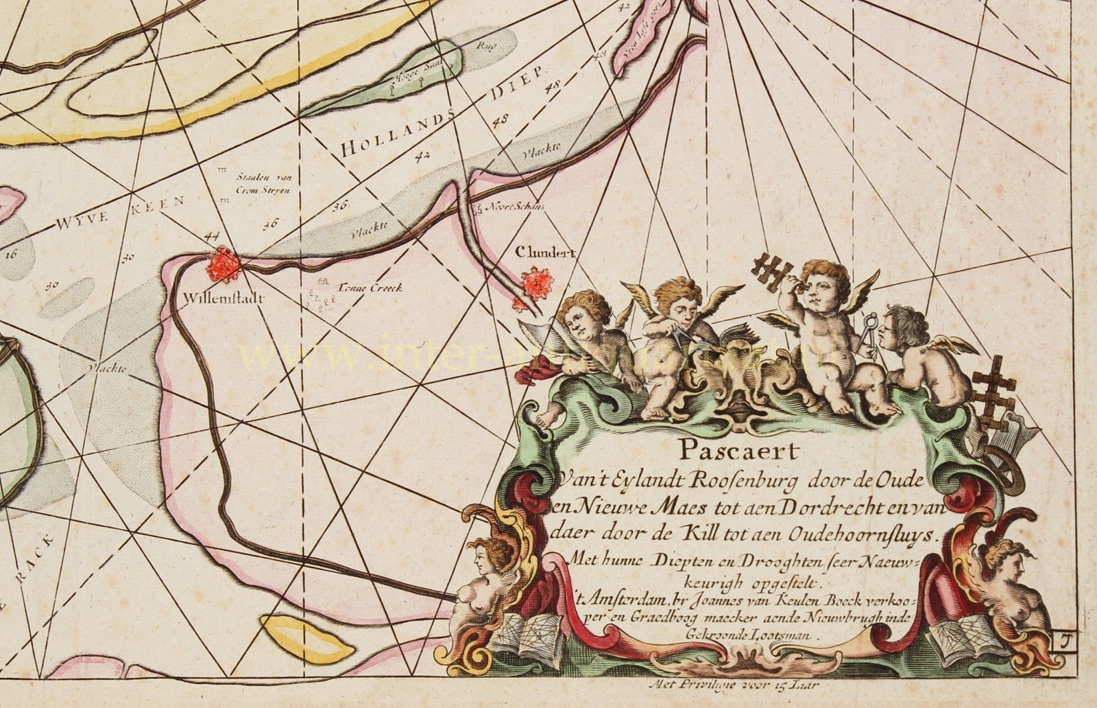
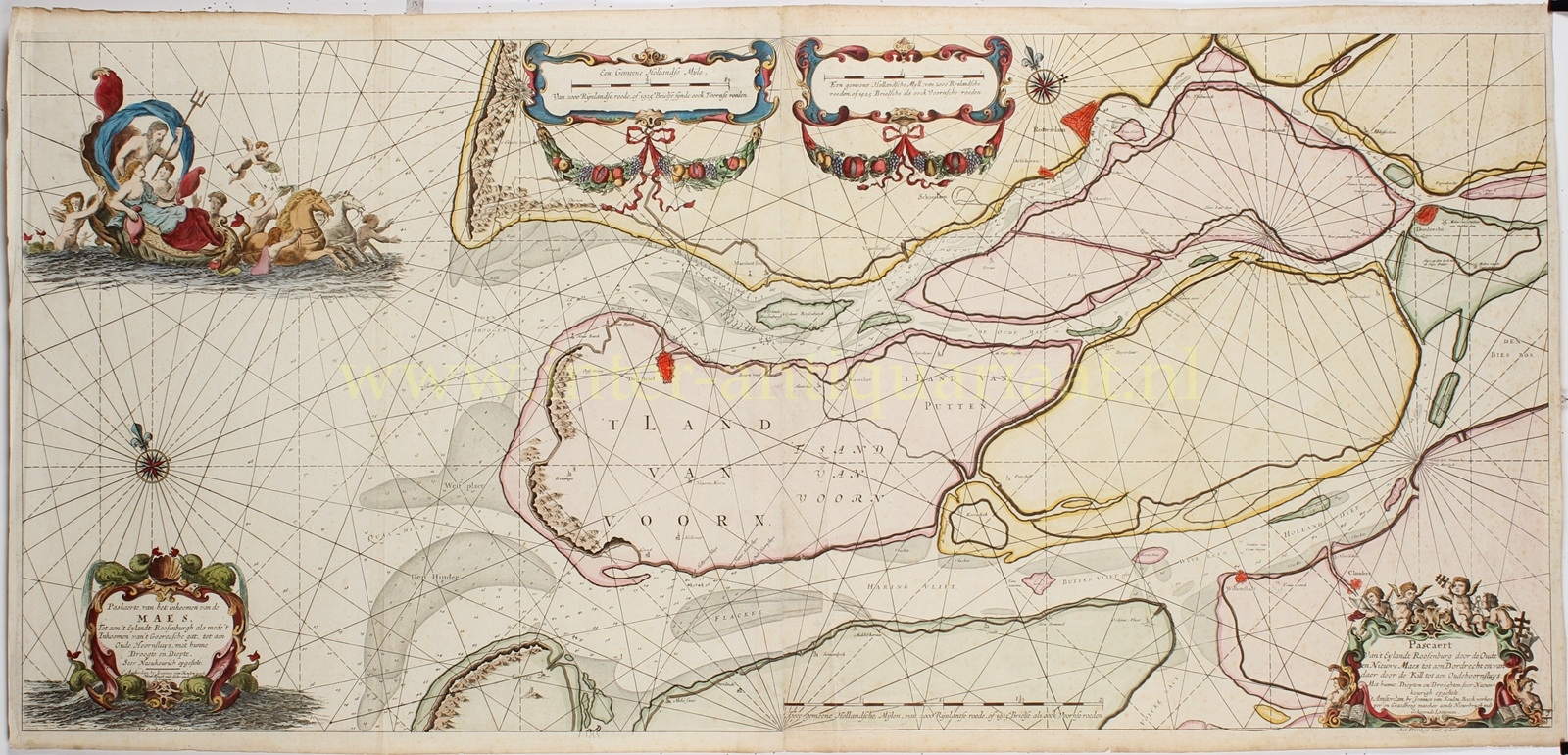
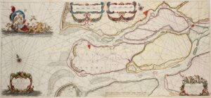
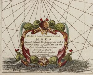
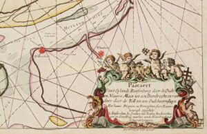
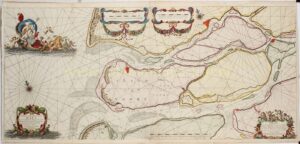
“Paskaerte van het inkoomen van de Maes, Tot aen ’t Eylandt Roosenburgh als mede ’t Inkoomen van ’t Goereesche gat, tot aen Oude Hoornsluys.” and “Pascaert Van ’t Eylandt Roosenburg door de Oude en Nieuwe Maes tot aen Dordrecht en van daer door de Kill tot aen Oudehoornsluys.” [Sea chart of the entrance to the Meuse, as far as the island of Rozenburg, as well as the entrance to the Goeree Gat, as far as Oude Hoornsluis and Sea chart from the island of Rozenburg through the Oude and Nieuwe Maas to Dordrecht, and from there through the Kil to Oude Hoornsluis.] Copper engraving on two sheets published in Amsterdam by Johannes van Keulen in 1681 as part of “De Groote Nieuwe Vermeerderde Zee-Atlas ofte Water-Werelt”. On the chart Van Keulen describes himself as “bookseller and instrument maker at the Nieuwe Brug (in Amsterdam), at the sign of the Crowned Pilot”. Coloured by a later hand. Size (print): approx. 49 × 108 cm.
This large sea chart of the Maas estuary and Rotterdam depicts a substantial part of the river delta of South Holland. From the North Sea and the Goeree Gat in the west, it extends across Voorne, Rozenburg and Putten to Rotterdam, Schiedam and Vlaardingen in the northeast, and to Dordrecht and the Biesbosch in the east. The Haringvliet, Hollands Diep and the Oude and Nieuwe Maas are also shown in considerable detail.
To the modern viewer, one of the most striking aspects of the chart is how different the area looked before the construction of the Nieuwe Waterweg and the enormous expansion of the Port of Rotterdam. Rozenburg, Voorne and Putten were still separated by broad river channels and tidal waters, while Europoort, Botlek and the Maasvlakte did not yet exist. The Nieuwe Waterweg, which provided Rotterdam with a direct connection to the North Sea, would not open until 1872.
The chart was, however, primarily a practical aid to navigation. Numerous depth soundings, sandbanks, shallows and navigable channels are marked along the coast and within the river mouths. A network of rhumb lines and several compass roses helped mariners determine their course. Such information was particularly important in this shallow and constantly changing delta landscape.
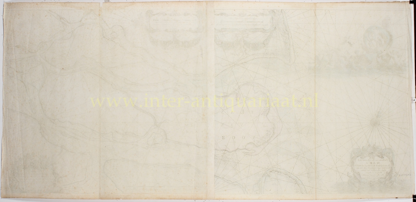
The exceptionally wide composition originally consisted of two separate charts, each with its own title cartouche and scale. They could be used independently, but were also designed to be joined together, as here, to form one large overview chart.
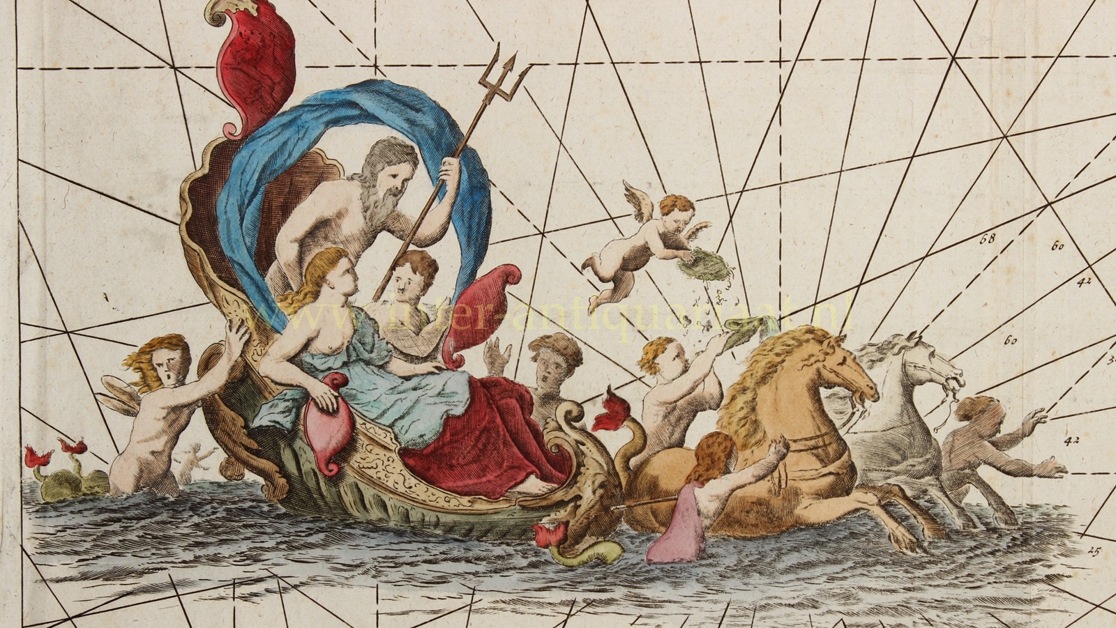
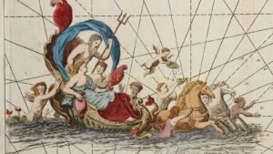
As was customary on Van Keulen’s sea charts, practical navigational information is combined with exuberant Baroque decoration. At upper left, Neptune, god of the sea, rides across the waves with his wife Amphitrite in a shell-shaped chariot drawn by sea horses. The title cartouche at lower left is surrounded by fantastic sea creatures. Around the cartouche at lower right are putti with cartographic and navigational instruments, including a pair of dividers and a Jacob’s staff. Garlands of fruit hang beneath the two scale cartouches at the top, symbolising the prosperity of the region.
Price: Euro 1750,-
