
Artois – Willem + Joan Blaeu, 1635
€275
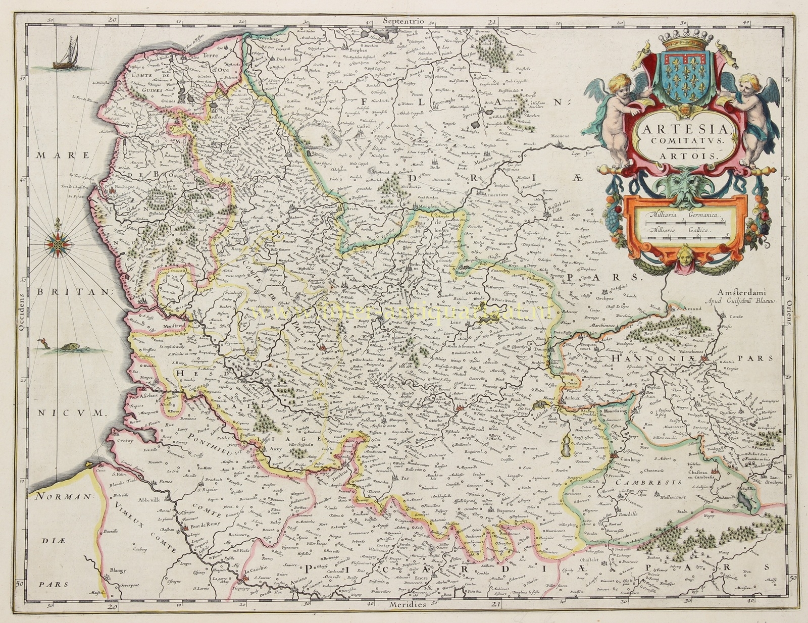
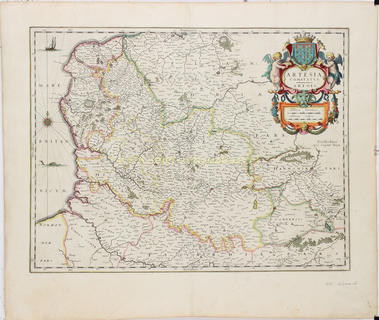
ARTOIS AND NORTHERN FRANCE, 1635
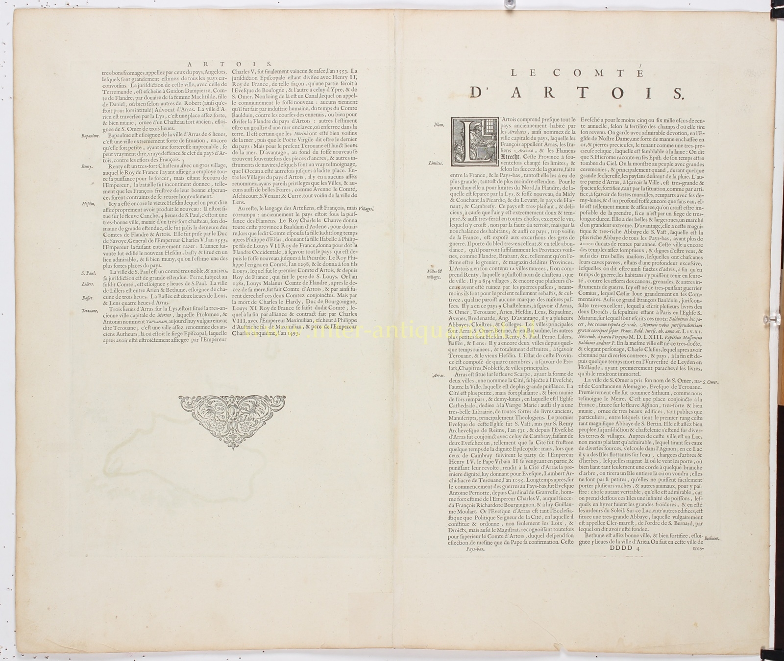
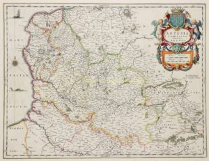
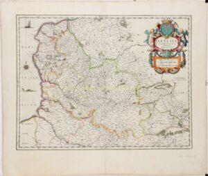
“Artesia Comitatus. Artois” [The County of Artois], copper engraving published by Willem Blaeu and Joan Blaeu in Amsterdam in 1635, as part of the French-language edition of their atlas “Le Théâtre du Monde ou Nouvel Atlas”. With original hand-colouring. Verso: French text. Size (map image): approx. 38 × 50 cm.
This detailed antique map depicts the historic County of Artois and the surrounding regions of present-day northern France and Belgium in the first half of the seventeenth century. The map extends from the English Channel coast near Calais, Boulogne and Étaples in the west to the area around Cambrai in the east.
Artois occupies the centre of the map, with Arras as its principal town. Saint-Omer, Béthune, Lens, Bapaume, Hesdin and Aire-sur-la-Lys are also clearly marked. The map provides a remarkably detailed picture of the numerous smaller towns and villages, rivers, forests and administrative boundaries. The different territories are distinguished by hand-coloured boundary lines.
During the seventeenth century, Artois formed an important border region between France and the Spanish Netherlands. For centuries, the county had belonged to the Burgundian and later the Habsburg Netherlands, before coming under Spanish rule in the sixteenth century. During the Franco-Spanish War (1635–1659), the region became the scene of intense fighting. French forces captured Arras in 1640, and under the terms of the Treaty of the Pyrenees in 1659, most of Artois was formally ceded to France. Saint-Omer and Aire-sur-la-Lys, however, remained under Spanish control and only became French at a later date.
In the upper right corner is a richly ornamented title cartouche, surmounted by the crowned coat of arms of Artois and flanked by two putti. Beneath it is a second cartouche containing scale bars in German and French miles. In the English Channel, a sailing ship, a sea monster and a large compass rose are depicted, with rhumb lines extending across the water.
The combination of detailed geographical information, elegant copper engraving and elaborate Baroque ornamentation makes this map a fine example of Dutch cartography from the Golden Age.
Price: Euro 275,-