

Flanders- Willem + Joan Blaeu, 1635
€475
FLANDERS – BRUGES, GHENT AND THE FLEMISH COAST, 1635
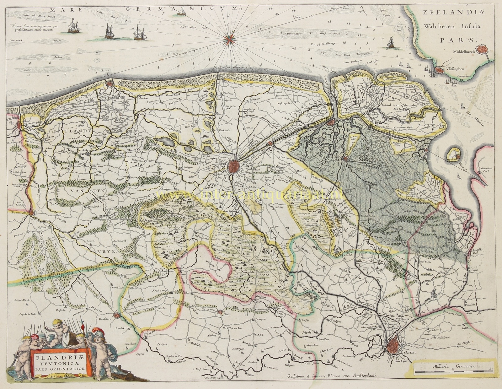
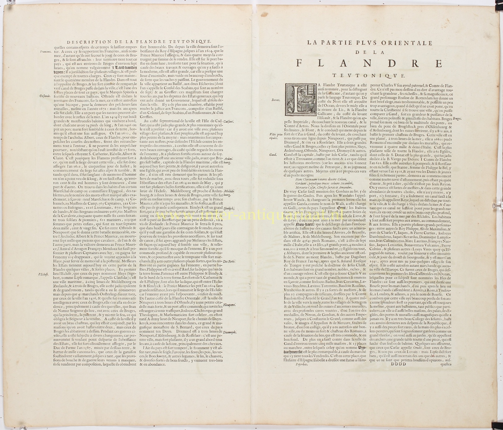
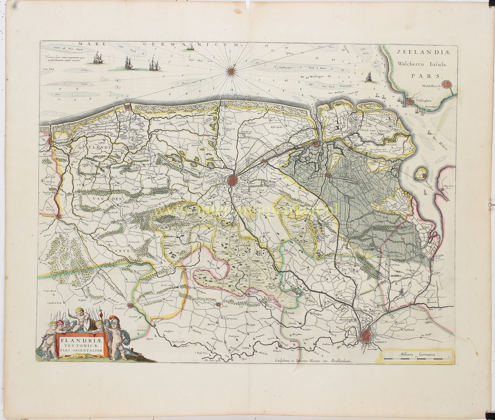
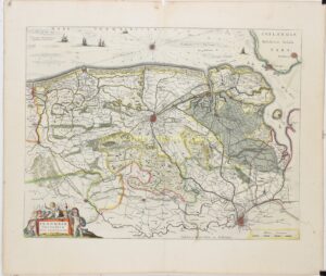
“Flandriæ Teutonicæ Pars Orientalior” [The eastern part of Dutch-speaking Flanders], copper engraving published by Willem Blaeu and Joan Blaeu in Amsterdam in 1635, as part of their atlas “Le Théâtre du Monde ou Nouvel Atlas”. With original hand-colouring. Dimensions (map): approx. 38 × 50 cm.
This beautiful and exceptionally detailed map depicts the northern part of Flanders during the first half of the seventeenth century. It covers the Flemish coast from Nieuwpoort and Ostend to the Zwin estuary, the extensive countryside of the Liberty of Bruges, present-day Zeelandic Flanders and part of the island of Walcheren, including Vlissingen (Flushing) and Middelburg.
The map is oriented with northwest at the top. Towns such as Bruges, Ghent, Ostend, Nieuwpoort, Diksmuide, Sluis, Damme and Aardenburg are clearly indicated. Numerous smaller villages, roads, rivers, canals, dykes, polders, marshes and wooded areas are also depicted in remarkable detail. The fortifications surrounding various towns reflect the strategic importance of this region during the Eighty Years’ War.
Of particular interest is the depiction of the coastline and the mouth of the Western Scheldt, then known as the Honte. Numerous sandbanks, shoals and navigational channels are marked in the North Sea, with soundings indicating depths in fathoms. The sailing ships and large compass rose emphasise the importance of the Flemish coast to international maritime trade.
The map depicts Flanders at a time when the region was politically divided between the Spanish Netherlands and the Dutch Republic. While Bruges, Ghent and most of Flanders remained under Spanish rule, Sluis and Aardenburg, among other towns, had been under Dutch control since 1604. The frontier between these two powers is reflected in the network of fortified towns and military strongholds.
In the lower left corner is an elaborate title cartouche surrounded by putti with helmets, spears, banners, a drum and other military equipment, alluding to the armed conflicts that marked the history of the region.
The map belongs to the celebrated atlas production of the Blaeu family, whose achievements helped establish Amsterdam as one of the foremost centres of European cartography during the seventeenth century.
Price: Euro 475,-