

Ghent and East Flanders – Willem + Joan Blaeu, c. 1643
€425
GHENT, EAST FLANDERS AND ZEELANDIC FLANDERS, C. 1643
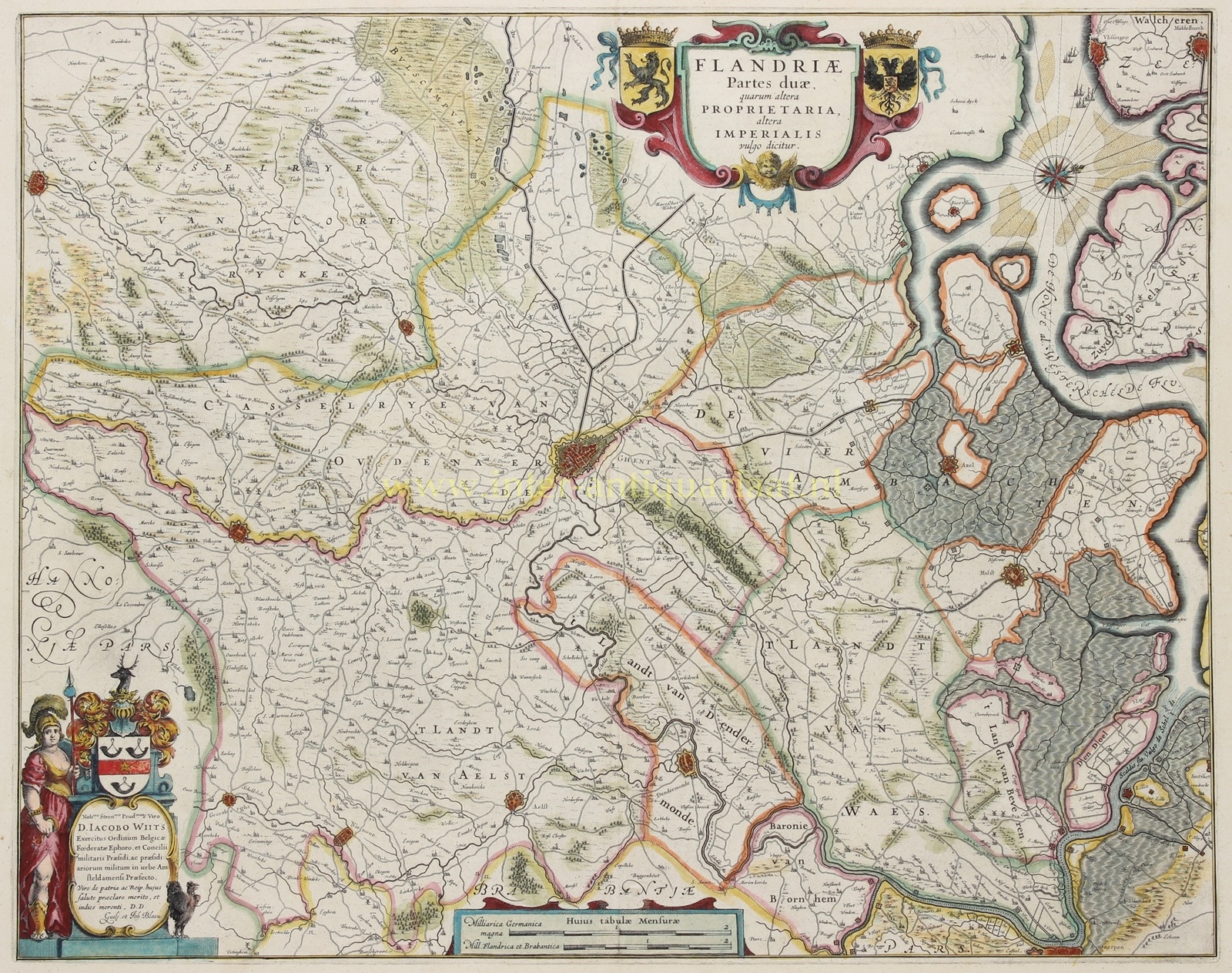
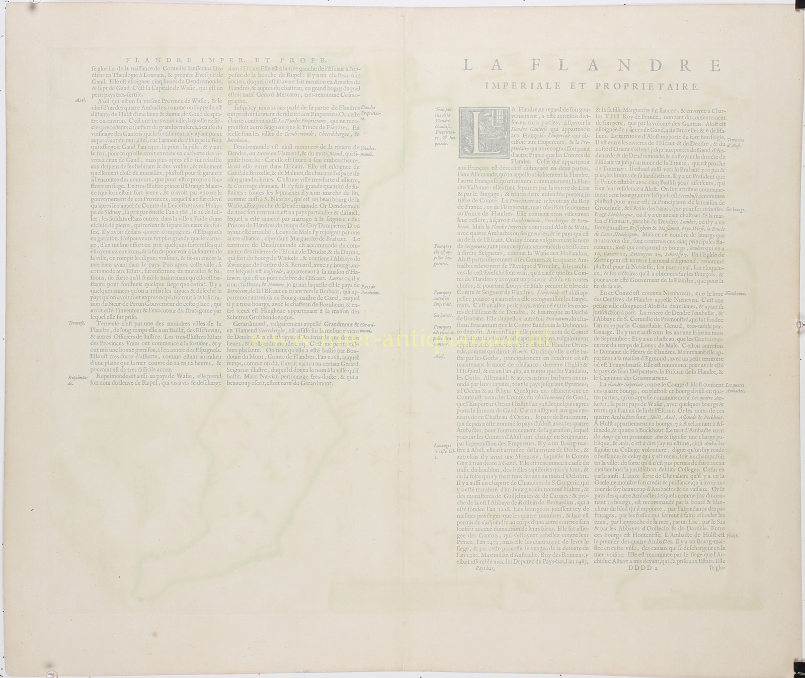
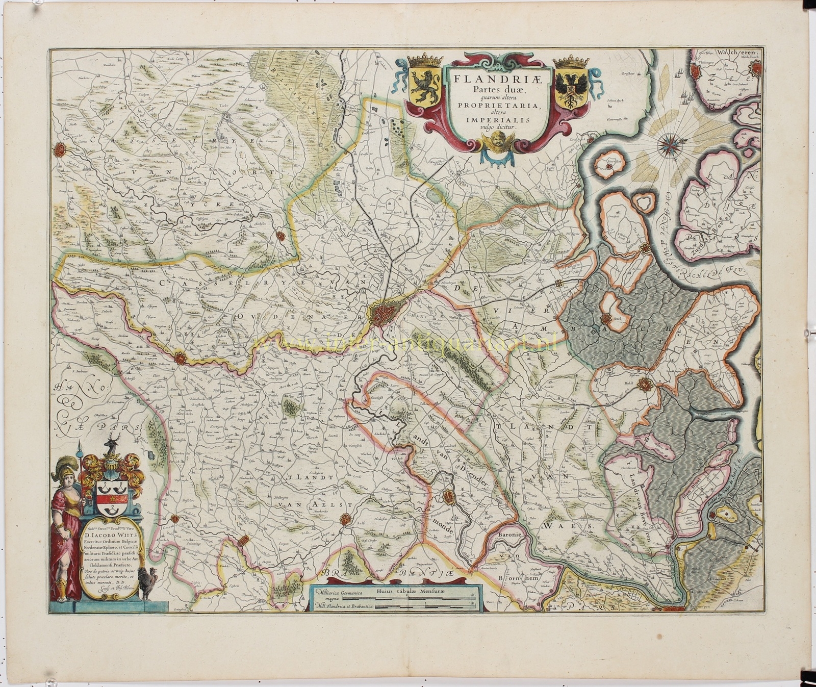
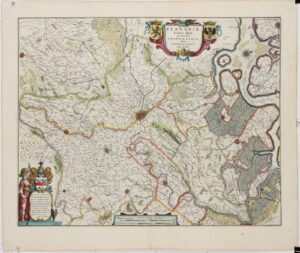
“Flandriæ Partes duæ, quarum altera Proprietaria, altera Imperialis vulgo dicitur” [The two parts of Flanders, commonly known as Proprietary Flanders and Imperial Flanders], copper engraving published in Amsterdam by Willem Blaeu and Joan Blaeu, c. 1643, as part of the French-language edition of their atlas “Le Théâtre du Monde ou Nouvel Atlas”. Contemporary hand colouring. Size (map image): approx. 41.5 × 52.5 cm.
This detailed map depicts the eastern part of the historic County of Flanders in the first half of the seventeenth century, with Ghent as its principal city. The map covers large parts of present-day East Flanders and Zeelandic Flanders, extending from Kortrijk and Oudenaarde in the west to the Scheldt estuary and Antwerp in the east. Parts of the Zeeland islands, including Walcheren and Zuid-Beveland, are also shown. The map has an unusual orientation, with north towards the right.
At the centre lies Ghent, depicted as a large walled city with its fortifications and numerous waterways. The surrounding countryside is mapped in remarkable detail, including the Land of Waas, the Land of Aalst, the Land of Dendermonde and the Four Ambachten district. Towns such as Oudenaarde, Aalst, Dendermonde, Geraardsbergen, Hulst and Axel are also clearly recognisable. Roads, rivers, canals, villages, churches, castles, forests and marshlands are represented in meticulous detail.
Of particular interest is the depiction of the northern border region with Zeelandic Flanders, where the Eighty Years’ War was fought between the Dutch Republic and the Spanish Netherlands. Around Hulst, Axel and the Land of Saeftinghe, we see a complex landscape of tidal inlets, creeks, polders and defensive fortifications. The course of the Western Scheldt and its various branches illustrates how closely land and water were intertwined in this region.
The map distinguishes between Imperial Flanders (Flandria Imperialis), which was held as a fief of the Holy Roman Empire, and the so-called Proprietary Flanders (Flandria Proprietaria, also known as Eigene). The latter comprised the lordships of Bornem, Dendermonde and Geraardsbergen, which the Counts of Flanders held in their own right, without owing feudal homage to the Emperor.
The map is richly decorated. At the top is a large title cartouche, flanked by the Flemish lion and the double-headed eagle of the Holy Roman Empire. At the lower left is an elaborate dedication cartouche honouring Jacques Wijts (Jacobus Wiits), featuring his family coat of arms and an allegorical female figure. An attractive compass rose appears in the upper right, while two scale bars at the bottom indicate distances in German and Flemish-Brabantine miles.
Price: Euro 425,-