
Hainaut and Namur – Willem + Joan Blaeu, 1635
€250
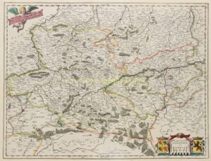
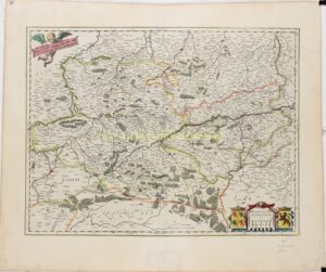
HAINAUT AND NAMUR IN THE SPANISH NETHERLANDS, 1635
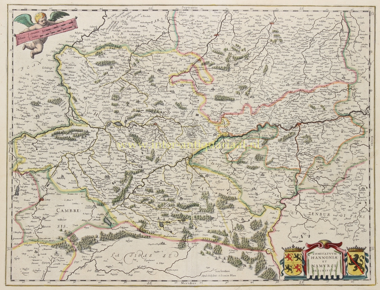
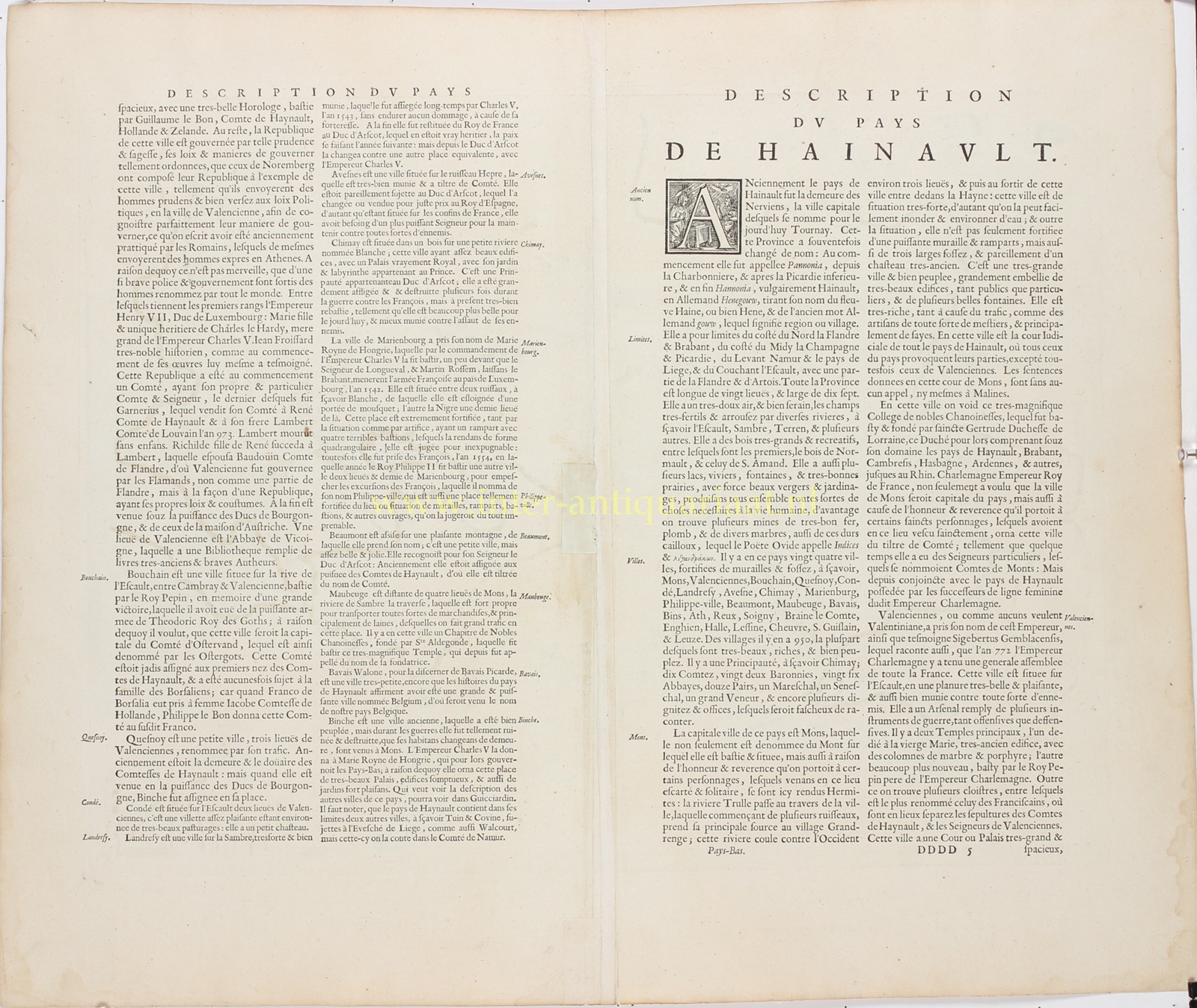
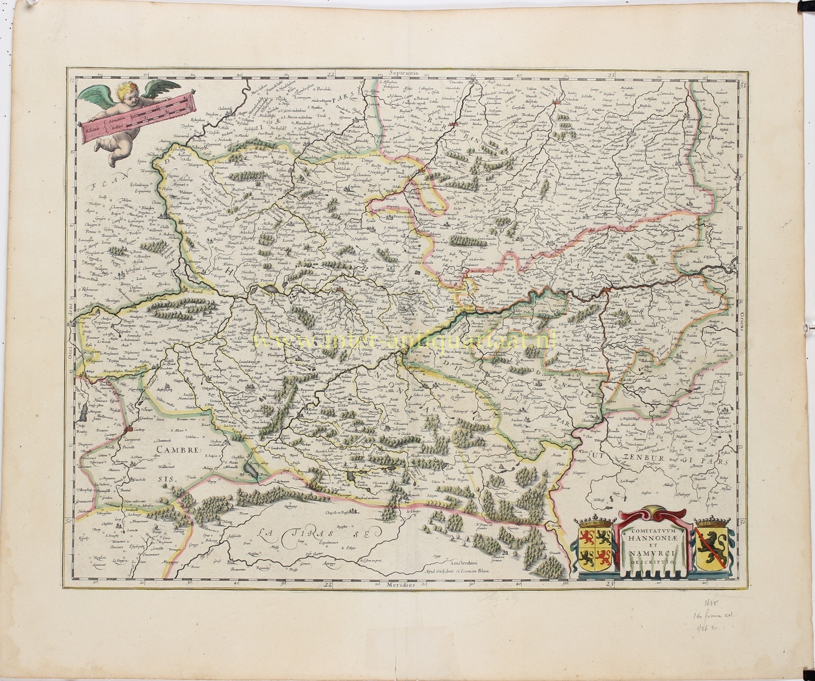
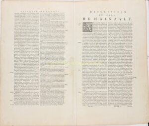
“Comitatuum Hannoniae et Namurci Descriptio” [Map of the Counties of Hainaut and Namur], copper engraving published by Willem Blaeu and Joan Blaeu in Amsterdam in 1635, as part of the French-language edition of their atlas “Le Théâtre du Monde ou Nouvel Atlas”. With original hand colouring. Verso: French text entitled “Description du Pays de Hainault”. Size (map image): approx. 38.5 × 50 cm.
This detailed map depicts the historic Counties of Hainaut and Namur in the first half of the seventeenth century. It covers much of present-day Wallonia and the adjoining regions of northern France, including Mons (Bergen), Valenciennes, Tournai (Doornik), Ath (Aat), Binche, Maubeuge, Le Quesnoy, Chimay and Namur. Hundreds of smaller towns, villages, hamlets and castles are also carefully identified.
The County of Hainaut occupies most of the map, with Mons as its principal city. To the east lies the County of Namur, while parts of Flanders, Brabant, the Cambrésis (Cambrai) and Luxembourg appear along the borders. The courses of the Scheldt and Sambre rivers and their tributaries are carefully delineated. Forests are represented by small groups of trees, while towns and fortified settlements are depicted with individual buildings and towers. The boundaries between the various territories are highlighted with hand colouring.
In 1635, Hainaut and Namur formed part of the Spanish Netherlands, which were ruled by the Spanish Habsburgs. The region occupied a strategically important position along the frontier between the Southern Netherlands and France. In the very year this map was published, the Franco-Spanish War broke out. Over the following decades, the region repeatedly became the scene of sieges and battles. Several towns in southern Hainaut, including Valenciennes, Maubeuge and Le Quesnoy, would subsequently come under French rule. The map therefore records the geographical and political situation before these far-reaching territorial changes.
In the lower right corner is a decorative title cartouche, flanked by the crowned coats of arms of Hainaut and Namur. In the upper left corner, a winged putto holds a scale bar indicating distances in German and French miles.
Price: Euro 250,-