

Devon – Charles Smith, 1801
€150


DEVON AT THE BEGINNING OF THE NINETEENTH CENTURY
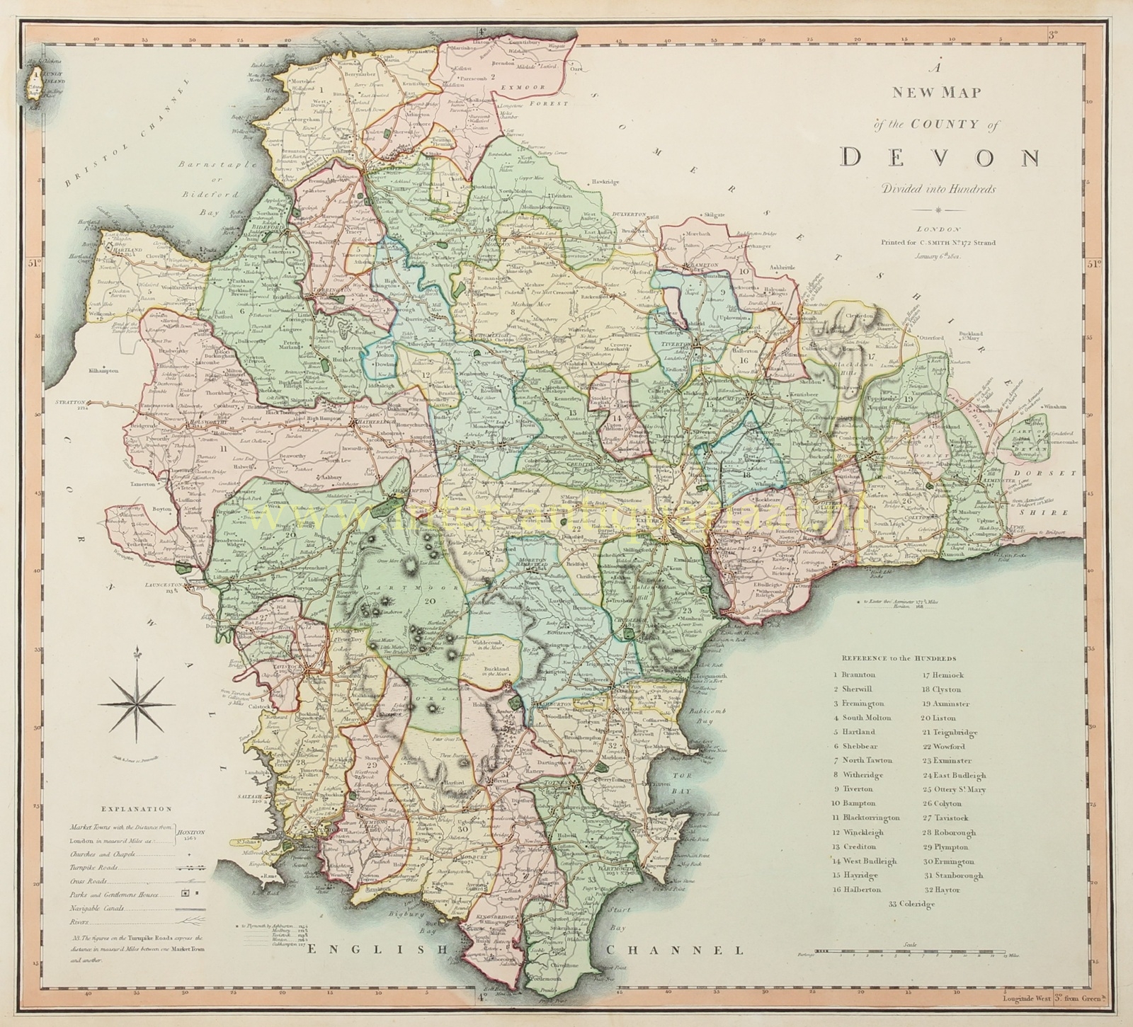
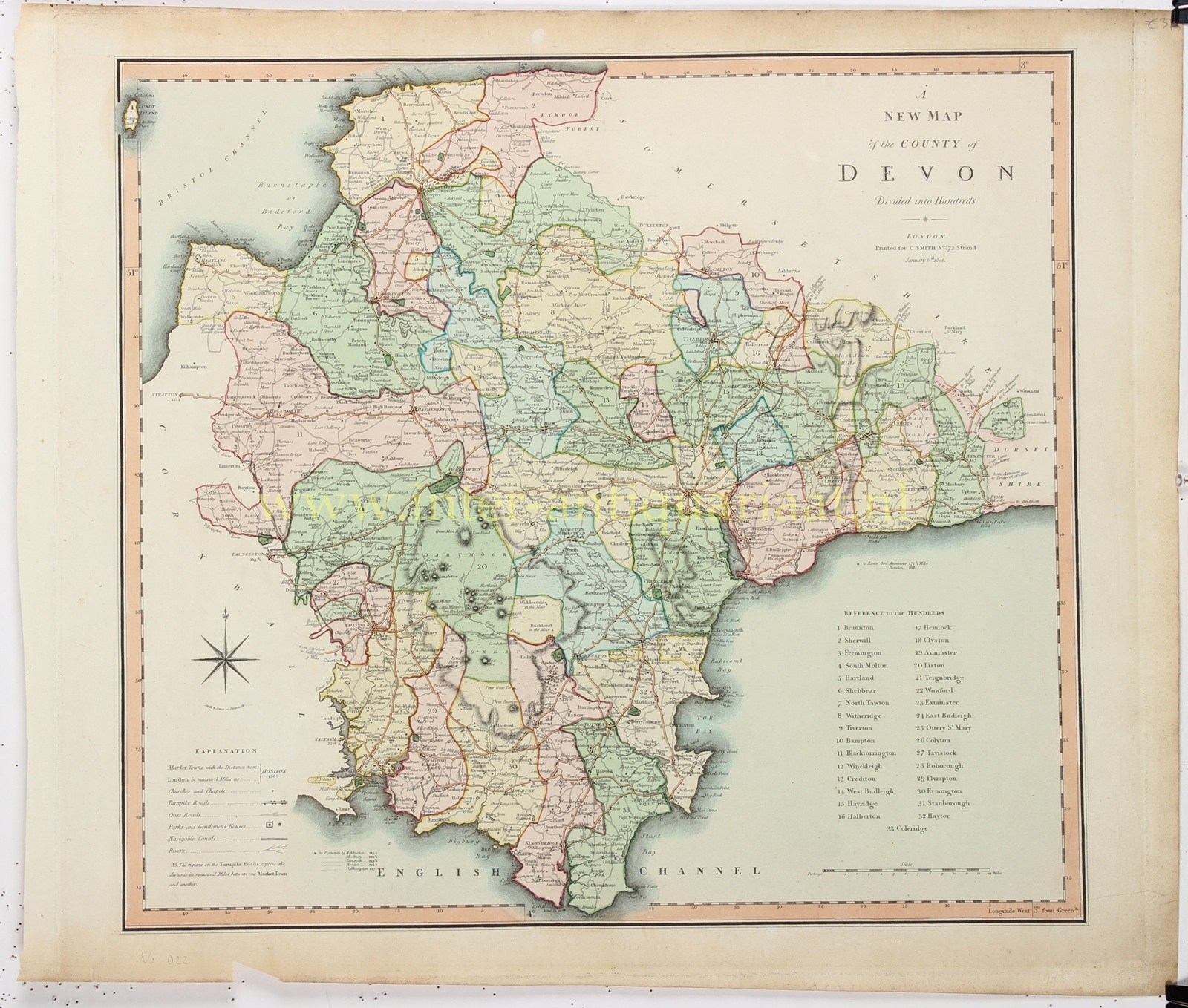
“A New Map of the County of Devon. Divided into Hundreds.” Copper engraving by Charles Smith, dated 6 January 1801, and engraved by Smith & Jones of Pentonville. Published between 1801 and 1804 as part of “Smith’s New English Atlas Being a Complete Set of County Maps.” With original hand-colouring. Size: 44.5 × 49.2 cm.
The map depicts the county of Devon, from the coast of the Bristol Channel and Exmoor in the north to the English Channel in the south. Its deeply indented coastline is carefully delineated, including Bideford Bay, the estuaries of the rivers Taw and Torridge, Torbay, Dartmouth and Plymouth Sound. Inland, Exeter, Tiverton, Barnstaple, Tavistock and Plymouth stand out, linked by a dense network of major and secondary roads.
The key distinguishes market towns, churches and chapels, turnpike roads, other principal roads, parks and gentlemen’s houses, navigable canals and rivers. Distances in miles between market towns are marked along the principal routes. The map therefore provides a vivid image of Devon in the heyday of the stagecoach and the turnpike: a transport network greatly improved during the late eighteenth and early nineteenth centuries by private turnpike trusts, which levied tolls to finance the construction and maintenance of roads.
Particularly striking are the coloured boundaries of the county’s thirty-three hundreds, listed in a numbered reference table at lower right. These historic subdivisions originally served administrative, fiscal and judicial purposes. Their significance was gradually declining by about 1800, but they still provided a familiar framework for local administration and statistical recording.
Dartmoor occupies the centre of the map as a broad, sparsely populated upland, indicated by dark mountain symbols and hachuring; Exmoor appears in the north. This treatment of the terrain gives the map greater relief than many eighteenth-century county maps. Smith’s atlas also belongs to the earlier English county atlases that consistently used longitude measured from the Greenwich meridian, visible in the graduated border along the lower edge of the sheet.
Price: Euro 150,-
