

Ukraine, Zhytomyr and Kyiv oblasts – Soviet map, 1965
€175





SOVIET MAP OF KYIV AND ZHYTOMYR, 1965
“Житомирская и Киевская области” [The Zhytomyr and Kyiv oblasts]. Colour offset print produced within the official Soviet cartographic apparatus: the GUGK in Moscow (the Main Administration of Geodesy and Cartography, responsible for the production and distribution of state, educational and topographic maps in the USSR), 1965. Size (paper): 59 x 81.5 cm.
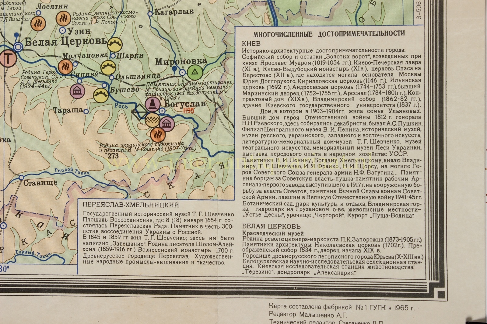
Large Soviet educational map of the Zhytomyr and Kyiv oblasts, in the north-west of the then Ukrainian Soviet Socialist Republic. The map shows the area around Kyiv, Zhytomyr, Berdychiv, Bila Tserkva, Korosten, Ovruch, Pereiaslav-Khmelnytskyi and Chornobyl, with the basins of the Dnieper, the Prypiat, the Teteriv, the Ros and numerous smaller rivers.
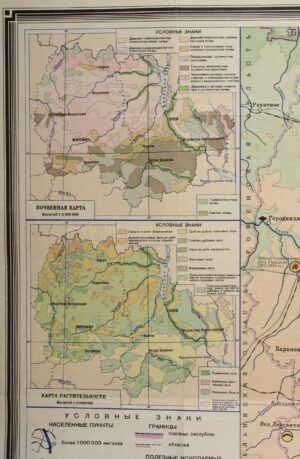
The map is conceived as a physical-geographical teaching map: relief, watercourses, marshes, soil types, vegetation, climate, natural resources, infrastructure and points of interest are combined into a single didactic overview. On the left are two inset maps: a soil map and a vegetation map. In the upper right is a climate map, with isotherms for January and July, minimum and maximum temperatures, annual precipitation and prevailing wind directions.
The legend is remarkably extensive. It distinguishes, among other things, settlements by population size, railways, main roads, waterways, republic and oblast boundaries, peatlands, spot heights and water levels. Natural resources are also indicated, including lignite, peat, marble, kaolin, granite, pegmatite and other minerals. Economic, historical and cultural symbols are likewise included, such as monuments, museums, health resorts, stud farms, livestock-breeding establishments and (of course) places that played a role in Soviet historical memory.
A particularly telling document of its time is the presence of Chornobyl on the map. In 1965 Chornobyl was still a small regional town on the Prypiat, without the later worldwide connotation of the 1986 nuclear disaster. Kyiv, too, is presented entirely within the framework of Soviet-Ukrainian geography: as the capital of the Ukrainian SSR, yet embedded in a cartographic system designed, printed and distributed by Moscow.
In the lower right, the map contains an extensive text panel listing “numerous points of interest”. For Kyiv these include the Saint Sophia Cathedral, the Golden Gate, the Monastery of the Caves (Kyiv Pechersk Lavra), St Andrew’s Church, the Mariinskyi Palace, the university, museums, monuments, the botanical garden and the zoo.
This map belongs to the tradition of Soviet school cartography: at once scientific, encyclopaedic and ideologically charged. It was intended not only to impart geographical knowledge to pupils, but also to present the landscape as an ordered whole of nature, production, infrastructure, history and socialist development. As a result, the map is both geographically informative and politically and culturally revealing: an image of central Ukraine as it was represented within the Soviet Union in the 1960s.
Price: Euro 175,-
