

Atlas title page – Justus Dankcerts, ca. 1688-1690
€750
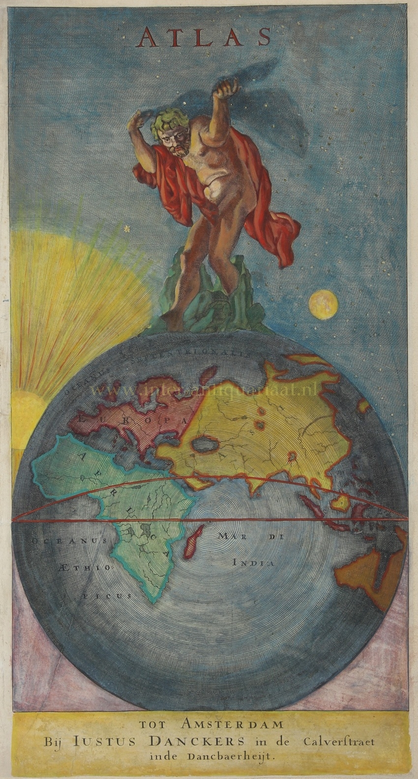
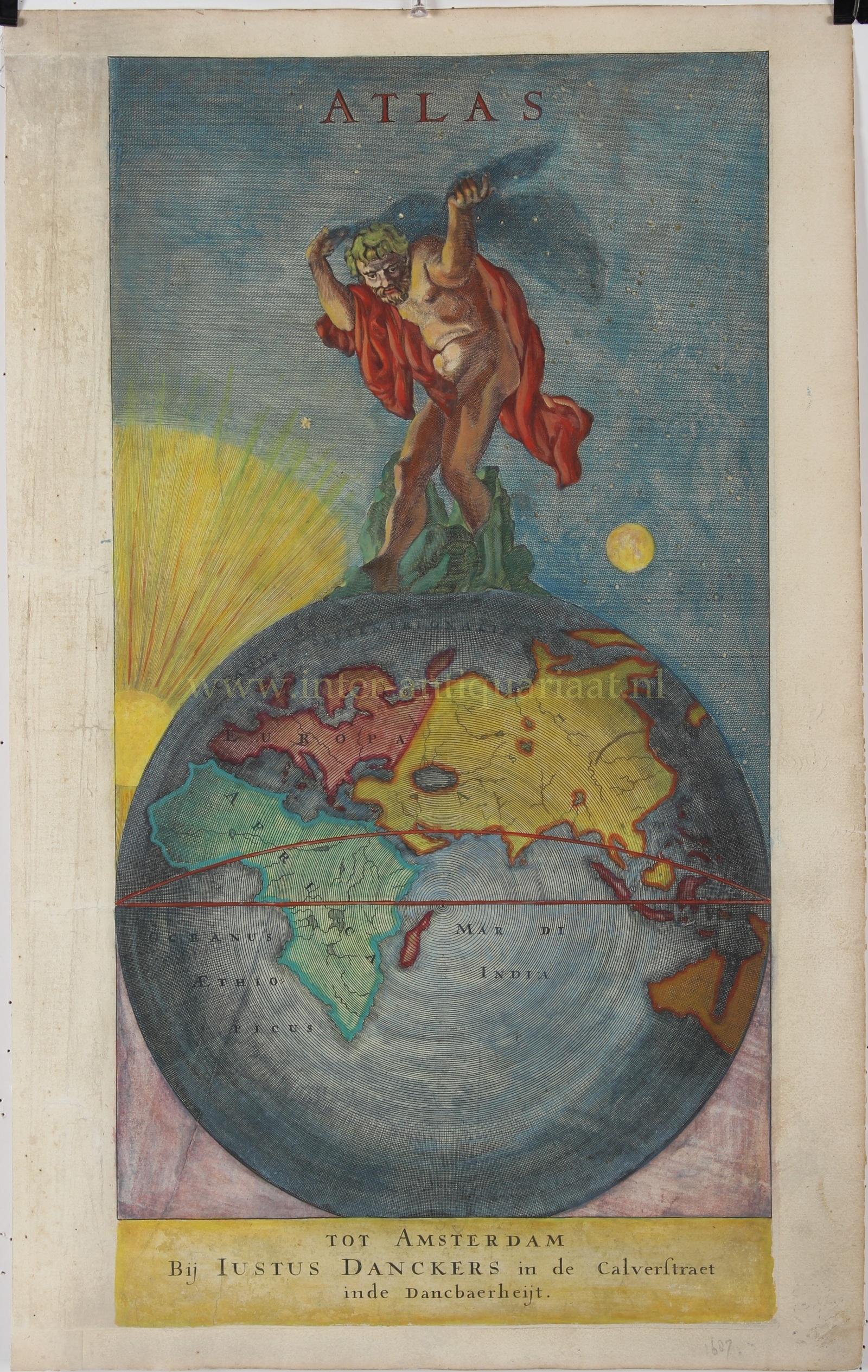
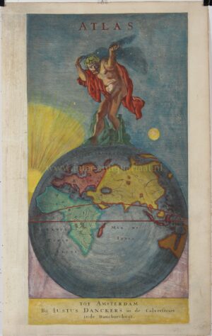
ATLAS BEARING THE HEAVENS – TITLE PAGE OF THE DANCKERTS ATLAS, CA. 1688–1690
“Atlas”, title page for the world atlas of Justus Danckerts, published in Amsterdam, ca. 1688–1690. Copper engraving, with otiginal hand colouring. Size. 52 × 32 cm (sheet).
The mythological Atlas stands on a rocky outcrop atop the globe, bearing the celestial sphere with both arms. To the left, the sun breaks through in a fan of rays; to the right, the moon appears against a deep blue, star-filled sky. The title page thus unites earth and heaven, day and night, in a single monumental composition.
On the globe beneath Atlas, the Old World occupies the central position. Europe, Africa and Asia are indicated in different colours, separated by the Mediterranean Sea, Atlantic Ocean and Indian Ocean. The combination of globe and celestial sphere is more than mere decoration: Atlas here personifies the geographical knowledge brought together in the book. Since Gerard Mercator in the sixteenth century, the name of the mythological bearer of the heavens had moreover become inseparably associated with the term ‘atlas’ for a collection of maps.
Justus Danckerts (1635–1701) belonged to an Amsterdam family of engravers, mapmakers and publishers. During the 1680s, together with his sons, he began systematically producing maps for a world atlas of his own. The business was established in Amsterdam’s Kalverstraat, in a house bearing the sign “De Danckbaerheijt” (‘The Gratitude’). In contrast to the extensive multi-volume atlases of Blaeu and Janssonius, the earliest Danckerts atlases were relatively compact: an early edition consisted of this title page and just 25 maps.
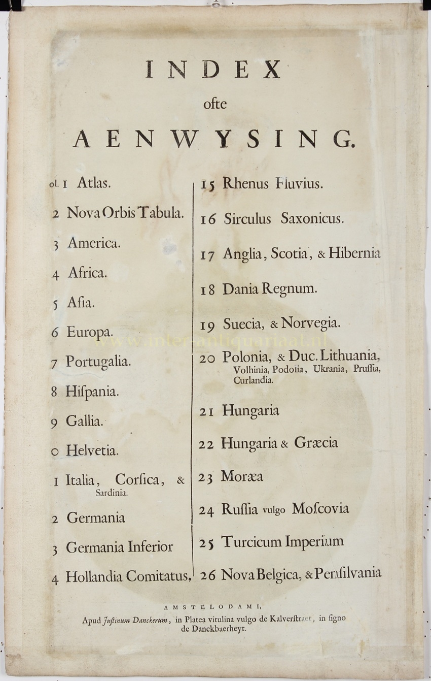
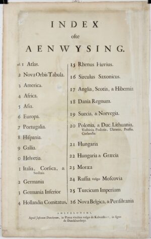
Those maps nevertheless provided an overview of almost the entire world as then known. A world map was followed by maps of the four continents and of, among other regions, France, Spain, Italy, Germany, the Netherlands, Scandinavia, Poland, Hungary, Russia and the Ottoman Empire. The sequence concluded with a map of New Netherland, New England and Pennsylvania, on which the now English city of New York was also shown. This richly coloured title page thus formed the introduction to one of the early world atlases produced by the Amsterdam mapmaking family Danckerts.
Price: Euro 750,-
SOLD
