

Namur, Wallonia – Willem + Joan Blaeu, 1635
€275
THE COUNTY OF NAMUR – WALLONIA, 1635
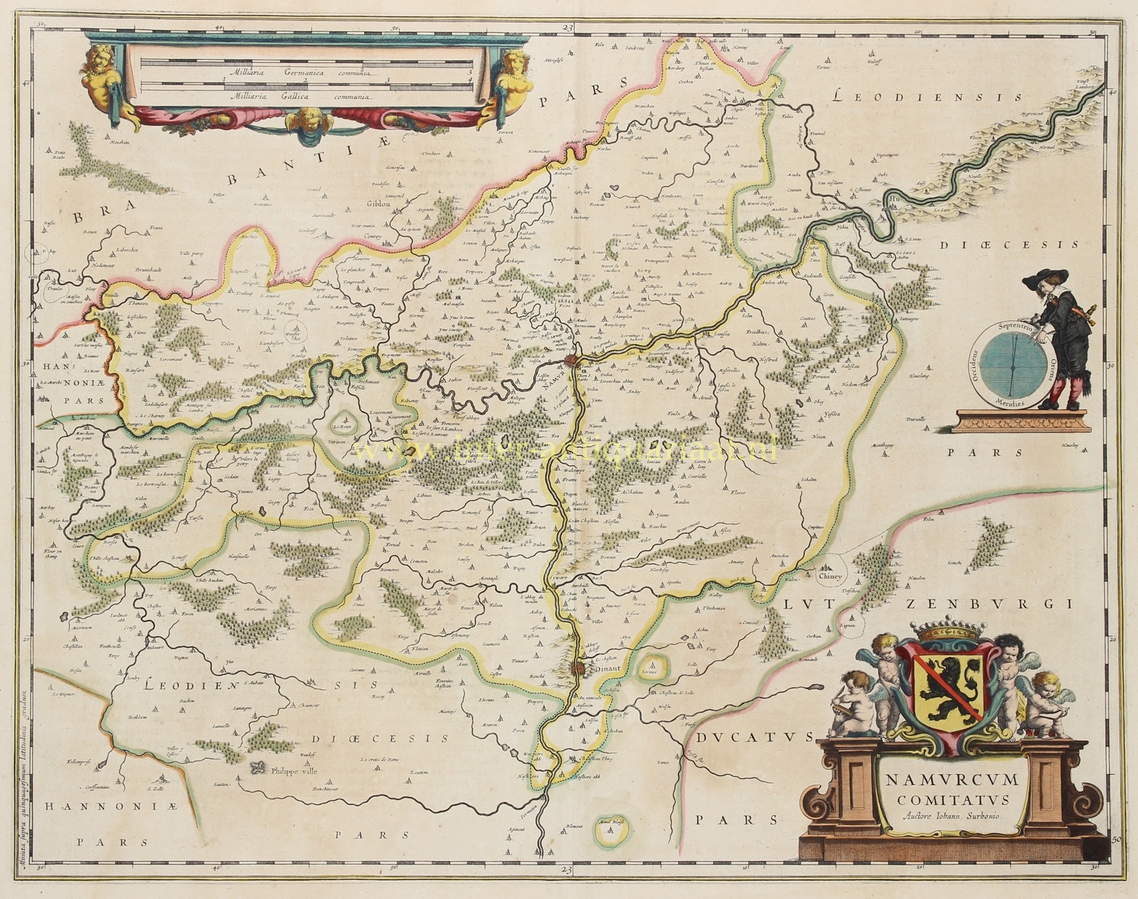
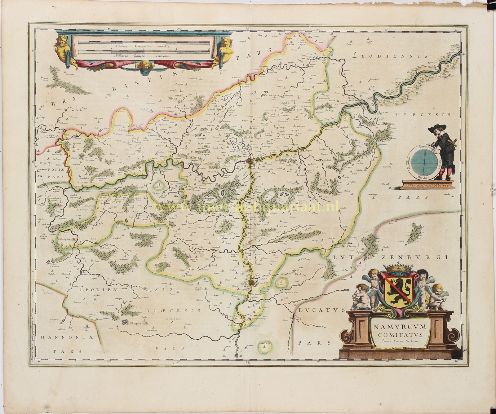
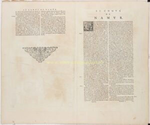
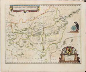
“Namurcum Comitatus. Auctore Iohann. Surhonio” [The County of Namur, after Jean de Surhon], copper engraving published by Willem Blaeu and Joan Blaeu in Amsterdam in 1635, as part of the French-language edition of their atlas “Le Théâtre du Monde ou Nouvel Atlas”. With original hand colouring. French text on verso. Size (map image): approx. 41 × 52.5 cm.
This richly decorated map depicts the historic County of Namur in the first half of the seventeenth century, when the region formed part of the Spanish Netherlands. At its centre lies the city of Namur, strategically situated at the confluence of the Meuse and Sambre rivers.
The map covers a substantial part of present-day Wallonia, extending from the surroundings of Thuin and Philippeville in the west to Huy in the east, and from Gembloux in the north to Dinant in the south. The winding courses of the Meuse and Sambre form the geographical framework of the landscape. Numerous towns, villages, castles and fortified settlements are shown along the rivers. Extensive woodlands, hills, roads and smaller settlements are also depicted in great detail. The boundaries with Brabant, Hainaut, the Prince-Bishopric of Liège and the Duchy of Luxembourg are indicated in colour.
The map is particularly decorative, featuring three elaborate cartouches. In the lower right corner, the title cartouche is surmounted by the coat of arms of the County of Namur and flanked by four putti. At upper left, a double scale of German and French miles is supported by cherubs and surrounded by elegant drapery. To the right, a young man stands beside a large compass rose, with the four cardinal directions indicated in Latin.
The map is based on the work of the Southern Netherlandish cartographer Jean de Surhon, who surveyed the County of Namur in 1555 at the request of Emperor Charles V. His surveys formed part of a larger cartographic project intended to provide the emperor with an accurate overview of his territories along the French border. Because of their military significance, such maps were initially withheld from public circulation. It was not until 1579 that Surhon’s map of Namur appeared in Abraham Ortelius’s celebrated Theatrum Orbis Terrarum. The Blaeus drew upon this geographical knowledge for their own map of the region.
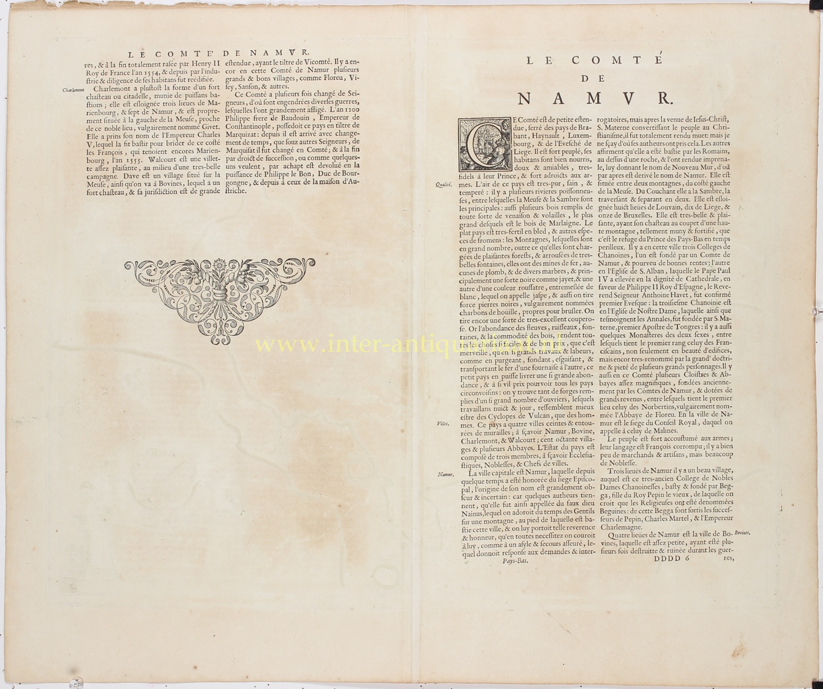
The verso side bears an extensive description of the County of Namur in French. It discusses, among other subjects, the fertility of the land, its extensive forests, the extraction of iron ore, marble and coal, and the principal towns and villages. The text thus provides a fascinating insight into the landscape and economic importance of the region during the seventeenth century.
Price: Euro 275,-