

Liège and Limburg – Abraham Ortelius, 1587
€625
THE PRINCE-BISHOPRIC OF LIÈGE AND LIMBURG IN THE 16TH CENTURY – ABRAHAM ORTELIUS
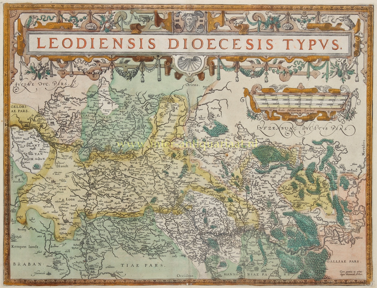
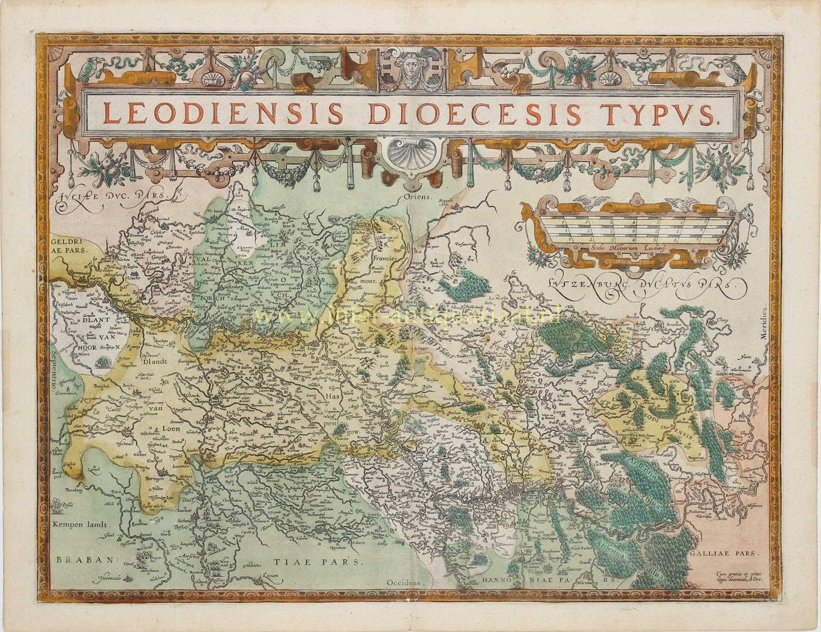
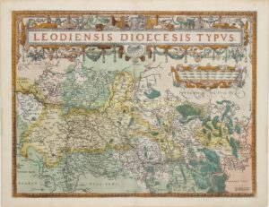
“Leodiensis Dioecesis Typus” [Map of the Diocese of Liège], copper engraving by Johannes Baptista van Doetecum after a map by Jan van Schille, published by Abraham Ortelius in Antwerp in 1587, as part of the French edition of his atlas “Theatrum Orbis Terrarum” (Théâtre de l’Univers). First state of the copperplate. With original hand-colouring. Size (map image): approx. 38 × 49.5 cm.
This exceptionally decorative and detailed map depicts the Prince-Bishopric of Liège and large parts of present-day Belgian and Dutch Limburg at the end of the sixteenth century. The map extends from Roermond, Weert and Valkenburg in the north to Namur, Dinant, Bouillon and the Ardennes in the south. Maastricht, Liège, Hasselt, Tongeren, Sint-Truiden, Sittard and countless smaller towns and villages are also shown in considerable detail.
The map is unusually oriented, with east at the top and north to the left. The River Meuse forms an important connecting artery through the region. Numerous tributaries, roads, settlements and geographical features are carefully depicted. Particularly striking are the extensive forests of the Ardennes and the hilly countryside surrounding Liège and the Duchy of Limburg.
At the time, the Prince-Bishopric of Liège was an independent ecclesiastical principality within the Holy Roman Empire. Its territories included the County of Loon, the Marquessate of Franchimont and the Duchy of Bouillon. During the Eighty Years’ War, the prince-bishopric maintained a distinctive position amid the conflict in the Low Countries. The ecclesiastical boundaries of the diocese depicted on the map did not, however, entirely coincide with the political boundaries of the prince-bishopric.
Towns and villages are represented by small building symbols, while hills, forests and rivers illustrate the relief and natural features of the region. The upper part of the map is dominated by an exceptionally elaborate Renaissance-style title cartouche. To the right is an equally ornate scale of distances.
The map was engraved by Johannes Baptista van Doetecum after a manuscript map by the surveyor Jan van Schille. The same cartographic material also served as the basis for the map of the Prince-Bishopric of Liège published by Cornelis de Jode in his atlas Speculum Orbis Terrae in 1593.
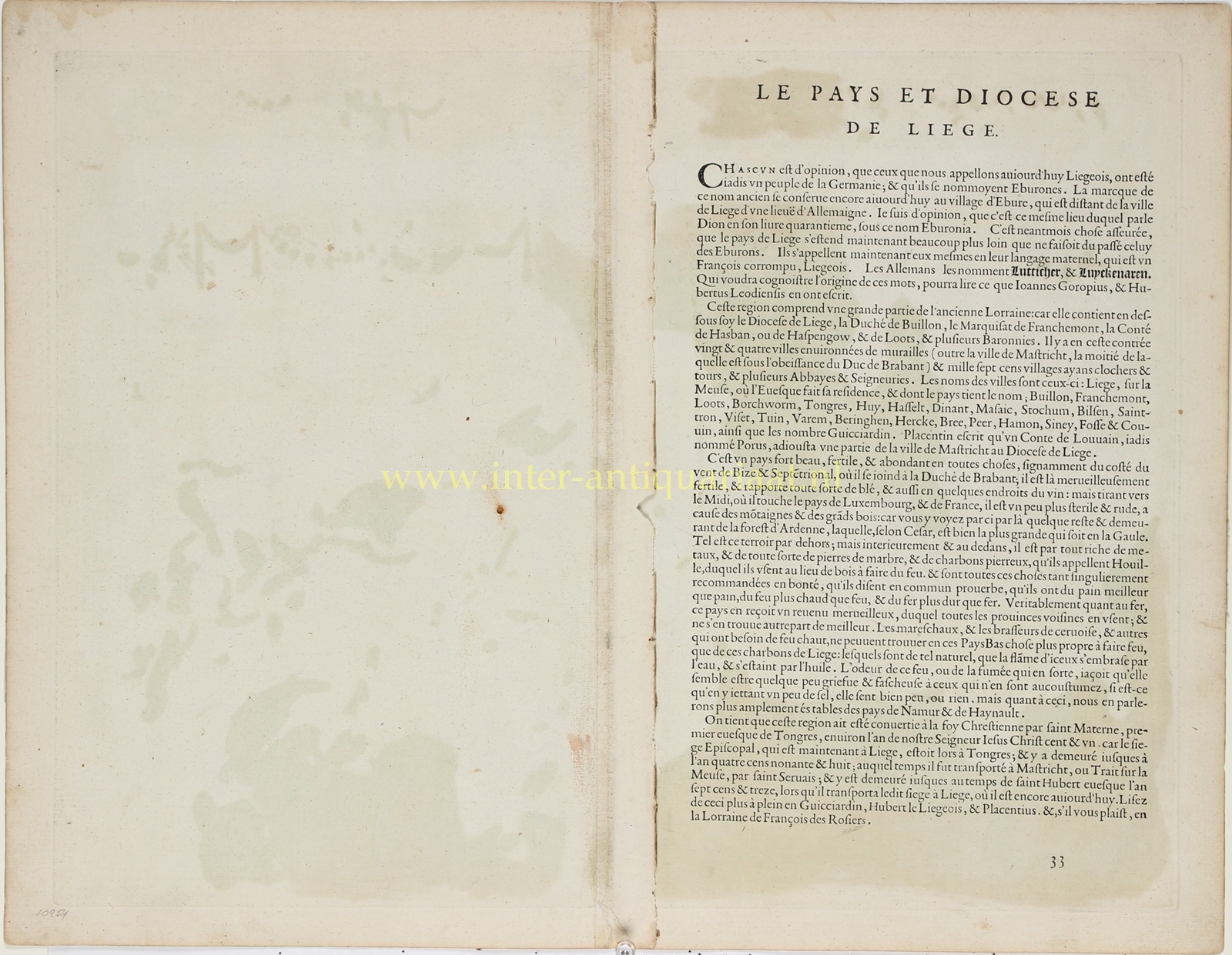
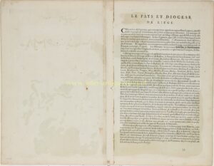
On the reverse is an extensive description of the region in French, discussing, among other subjects, its towns, the fertility of the land, the vast forests and the region’s wealth of coal, iron and building stone.
Reference: Marcel van den Broecke, Ortelius Atlas Maps, no. 63, first state (Ort 63.1).
Price: Euro 625,-