Showing 241–288 of 293 results
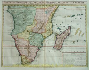
Southern Africa – Chatelain
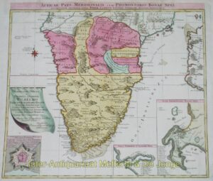
Southern Africa – Tobias Lotter, c. 1730
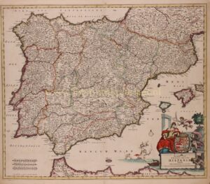
Spain and Portugal – Frederick de Wit, ca. 1680
Sri Lanka – François Valentijn, 1724-1726
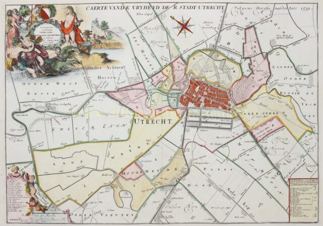
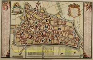
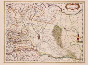
Stadsvrijheid van Utrecht – Caspar Specht + Joachim Ottens, 1708-1719
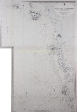
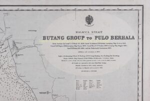
Strait of Malacca – Admiral Wharton, 1896
Strait of Malacca, Singapore – 1898
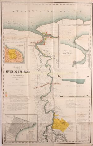
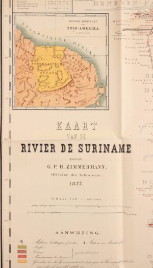
Suriname – C.F. Stemler, 1877
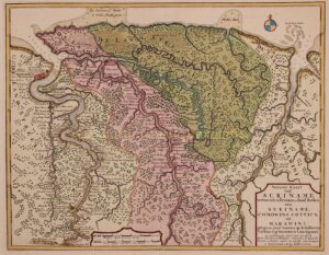
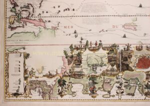
Suriname – Joachim Ottens, c. 1715
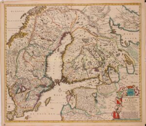
Swedish Empire – Frederick de Wit, 1680
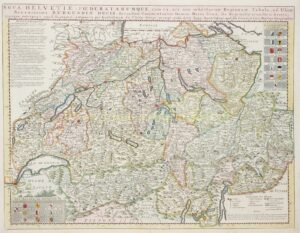
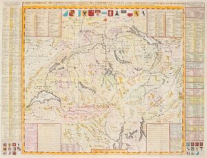
Switserland – Guillaume De l’Isle / Covens & Mortier, c. 1758
Switserland – Henri Abraham Chatelain, 1720
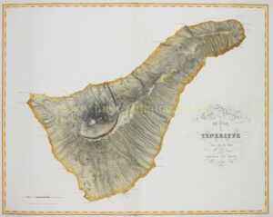
Tenerife – Pierre Tardieu after Leopold von Buch, 1831
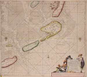
Texel, Vlieland, Terschelling – Johannes van Keulen, after 1681
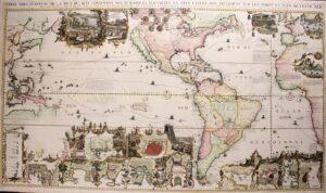
The Americas – Henri Châtelain, 1705-1720
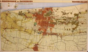
The Hague, Wassenaar, Voorburg – Mouton & Co., 1932
The Purmer polder – Johannes Leupenius, 1683
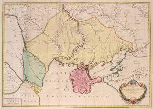
Ukraine – Reinier & Josua Ottens, 1737
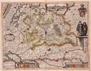
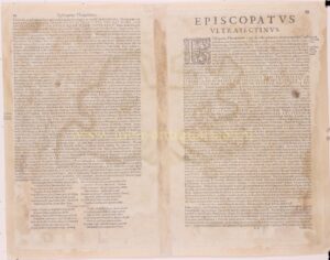
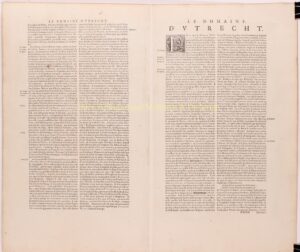
Utrecht – Pieter van der Keere (Kaerius), 1617
Utrecht – Van Schoonhoven, 1778
Utrecht / Het Gooi – Willem Blaeu, 1635
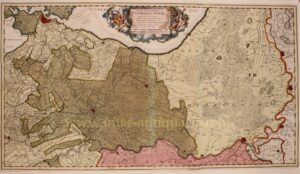
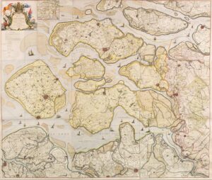
Utrecht and Veluwe – Nicolaes Visscher, c. 1684
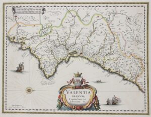
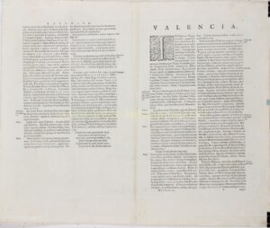
Valencia – Willem Blaeu, c. 1640
Vecht region – Petrus Schenk, ca. 1720
Veluwe – Johannes Covens and Cornelis Mortier, c. 1720
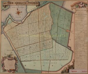
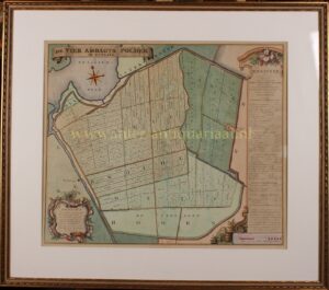
Vierambachtspolder, Woubrugge – Melchior Bolstra, 1746
Wadden – Willem Jansz. Blaeu, 1608
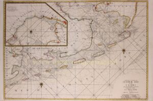
Wadden sea – Pieter Mortier, 1693
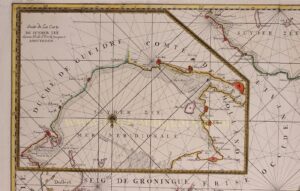
Wall map Drenthe – Anthony Wernecke, 1840
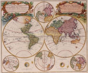
Wall map of the world – Eustache Hérison, 1825
Water control district Schieland – Pieter Willem van Baarsel, 1928
West Africa – Homann Heirs, 1745
West Africa – Ottens, c. 1745
West-Friesland – M.F. Visser, 1916
West-Friesland, Medemblik en de Vier Noorder Koggen – Hendrik de Leth, 1732
World – Covens & Mortier after Guillaume De L’Isle, 1745
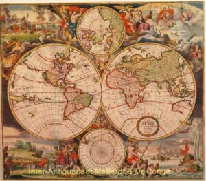
World – Frederick de Wit, ca. 1670
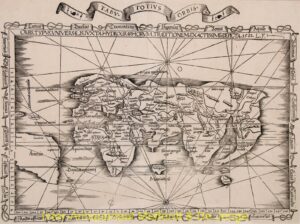
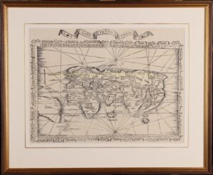
World antique map – Laurent Fries, 1535
World map – Homann heirs, 1746
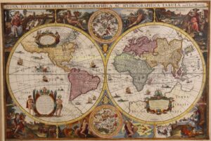
World map – Melchior Tavernier after Jodocus Hondius, 1636
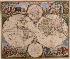
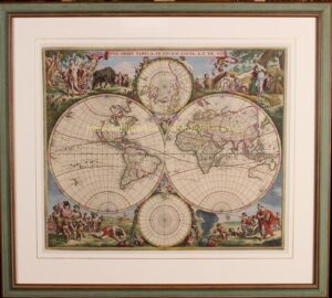
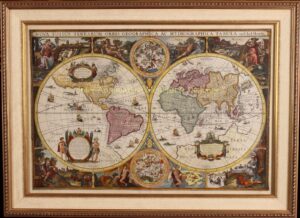
World map – Romeyn de Hooghe, David Funcke, c. 1700
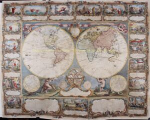
World map, wall map- Gobert-Denis Chambon, Jean Janvier, S.G. Longschamps, 1754
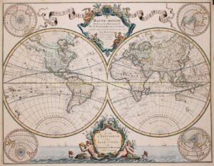
World, rare 18th century wall map
Zeeburg en Diemerdijk – wandkaart Jan Wandelaar
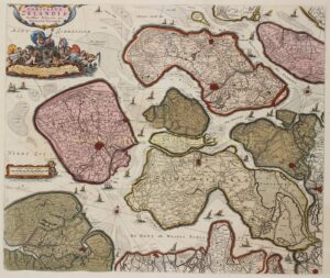
Zeeland – Georges-Louis le Rouge, 1748
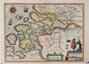
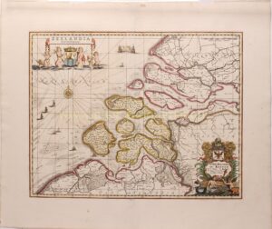
Zeeland – Nicolaes Visscher, 1682
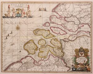
Zeeland – Petrus Kaerius, 1617
Zeeland – Pieter Schenk and Gerard Valck, c. 1700
Username or email address *Required
Password *Required
Remember me Log in
Lost your password?