

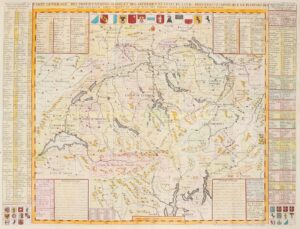


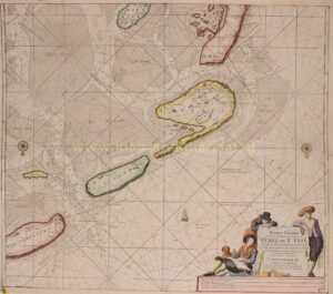


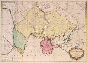

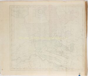
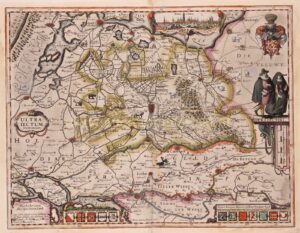
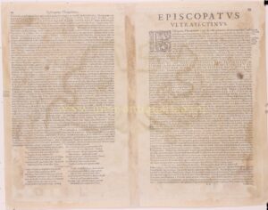


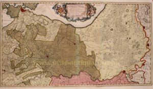


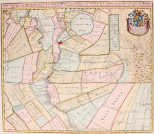
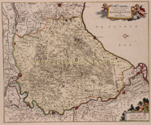
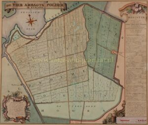
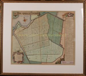
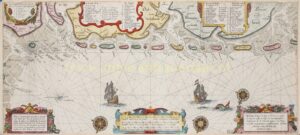
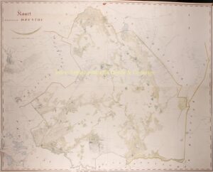
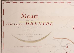
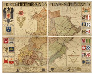

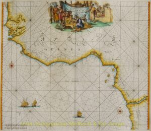


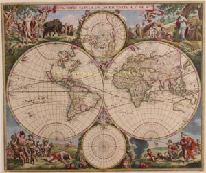
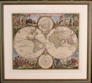
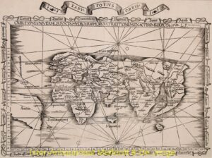
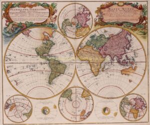


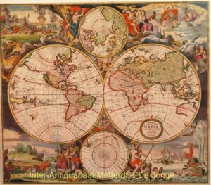


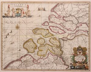
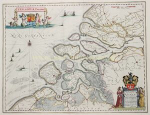


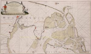

Most early maps were printed from copperplates in folio format, the dimensions determined by the technical constraints of paper production and engraving. Larger and more ambitious compositions were made by joining multiple sheets, resulting in wall maps of considerable scale. Such maps were frequently embellished with decorative borders, cartouches and descriptive text, reflecting both their informational and visual function. The present selection of rare antique maps includes examples from different periods, regions and cartographic traditions. Variations in state, edition, colouring and condition are integral to their study and desirability. As survivals of early modern print culture, these maps are valued not only for their geographical content, but also for their beauty and rarity.
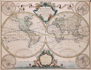
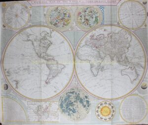
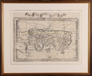
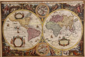
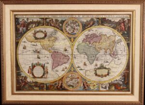
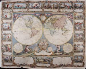
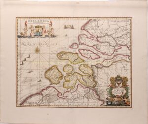
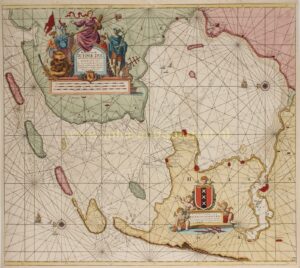
Most early maps were printed from copperplates in folio format, the dimensions determined by the technical constraints of paper production and engraving. Larger and more ambitious compositions were made by joining multiple sheets, resulting in wall maps of considerable scale. Such maps were frequently embellished with decorative borders, cartouches and descriptive text, reflecting both their informational and visual function. The present selection of rare antique maps includes examples from different periods, regions and cartographic traditions. Variations in state, edition, colouring and condition are integral to their study and desirability. As survivals of early modern print culture, these maps are valued not only for their geographical content, but also for their beauty and rarity.